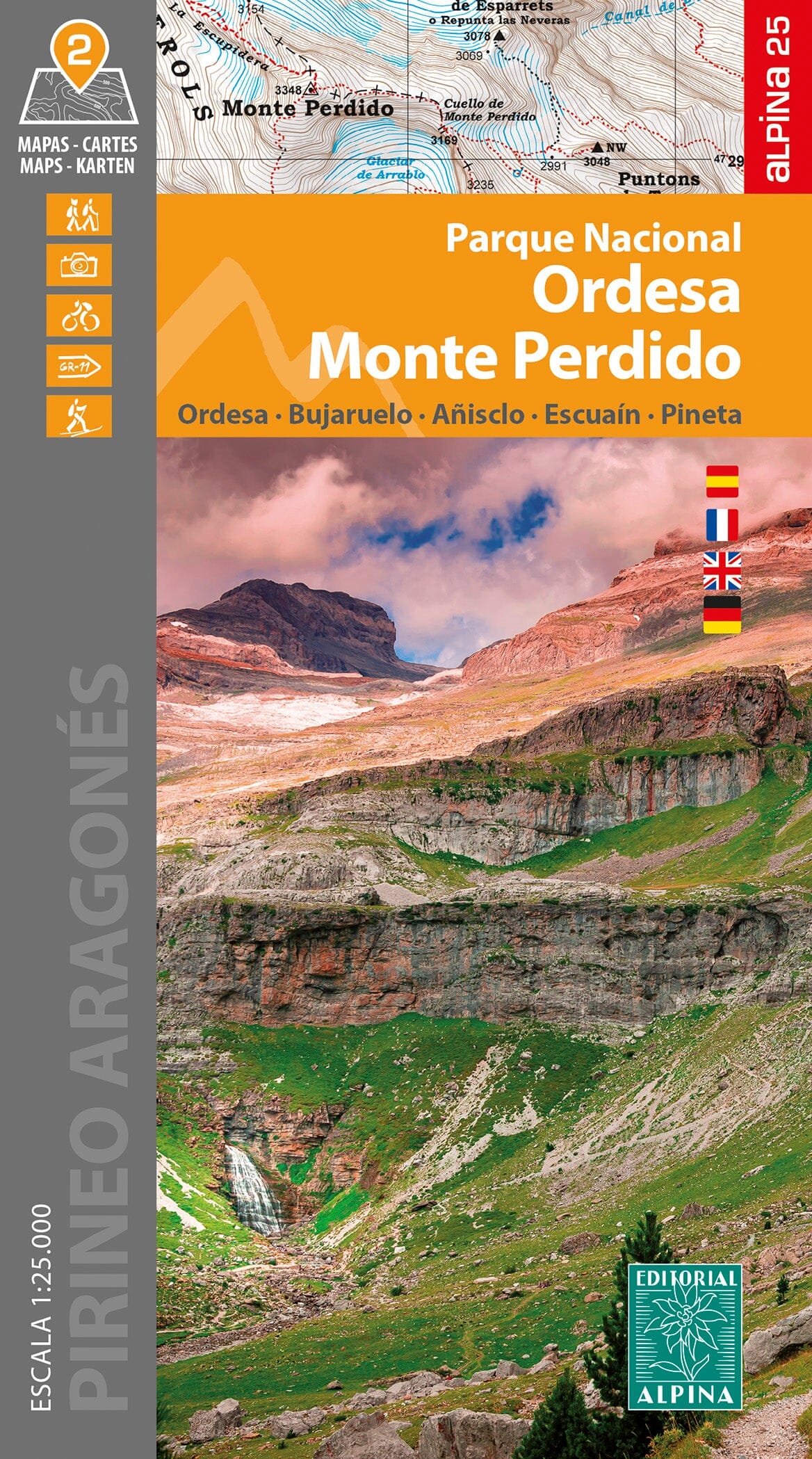
The TOP 75 map n° 19 - Gavarnie, Luchon, Néouvielle, Vallée d'Aure & Pic de Midi de Bigorre , published by the IGN , covers a vast part of the central Pyrenees , recognized for the richness of its mountain landscapes and the diversity of its hiking routes.
The map offers a complete representation of the road network (highways, main, secondary and local roads), facilitating access to outdoor sites : hiking trails, climbing sites, free flight areas, as well as cultural and historical treasures such as chapels, castles, caves, museums and leisure parks.
Cyclists and two-wheel enthusiasts can also plan suitable routes thanks to the presence of cycle paths and the entire road network.
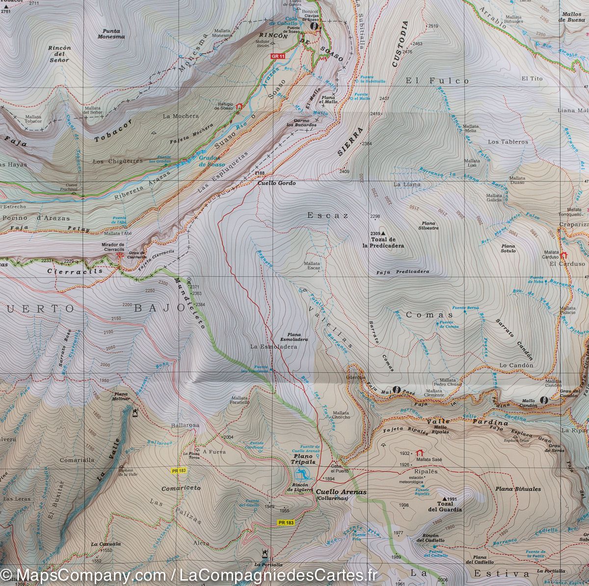
Contour lines and marked points allow for precise assessment of the elevation gain and difficulty of the routes , an essential asset for preparing hikes in mountainous terrain.
Specifically designed for hiking, TOP 75 maps bring together all the essential information about the terrain:
-
Local road network, GR® and GR® de Pays of the FFRandonnée
-
Contour lines, rocky areas and glaciers to estimate the difficulty
-
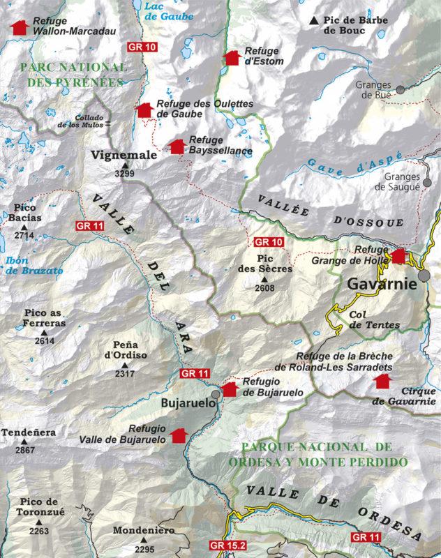
Gîtes and mountain huts for organizing your stops
-
Tourist and cultural information (viewpoints, remarkable buildings, caves, castles…)
-
GPS grid , facilitating precise positioning using GPS
The map also includes five extracts from TOP 25 maps at a scale of 1:25,000 , ideal for one- or two-day hikes in exceptional locations. IGN mapping at this scale is renowned for its high precision , meeting the demands of even the most experienced hikers and mountaineers.