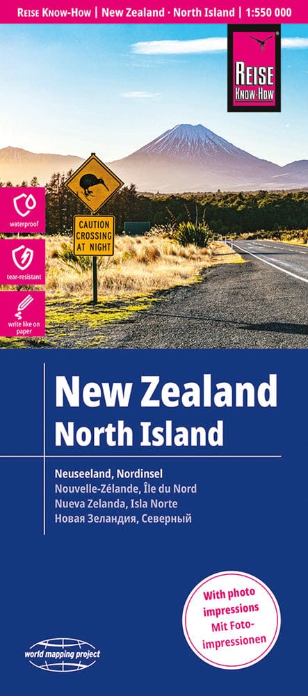
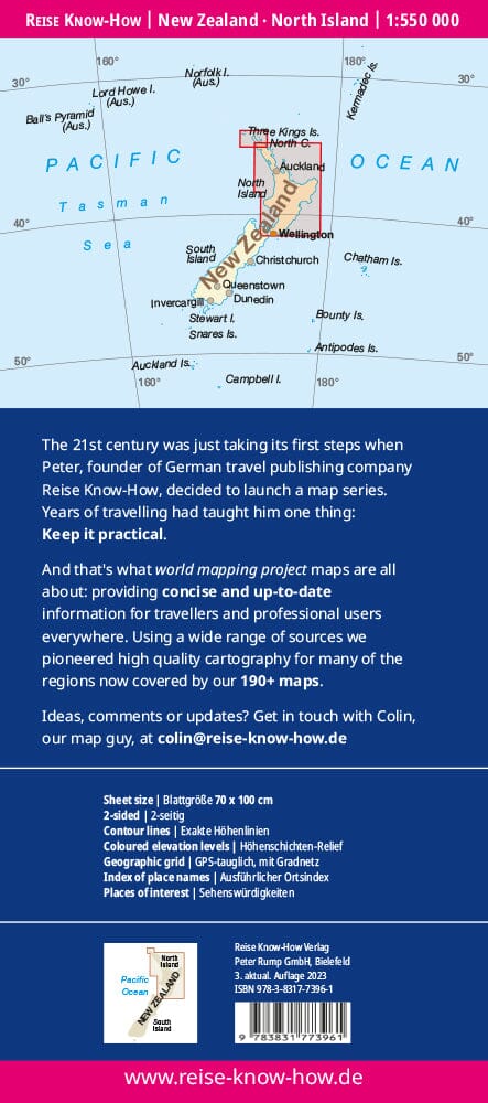
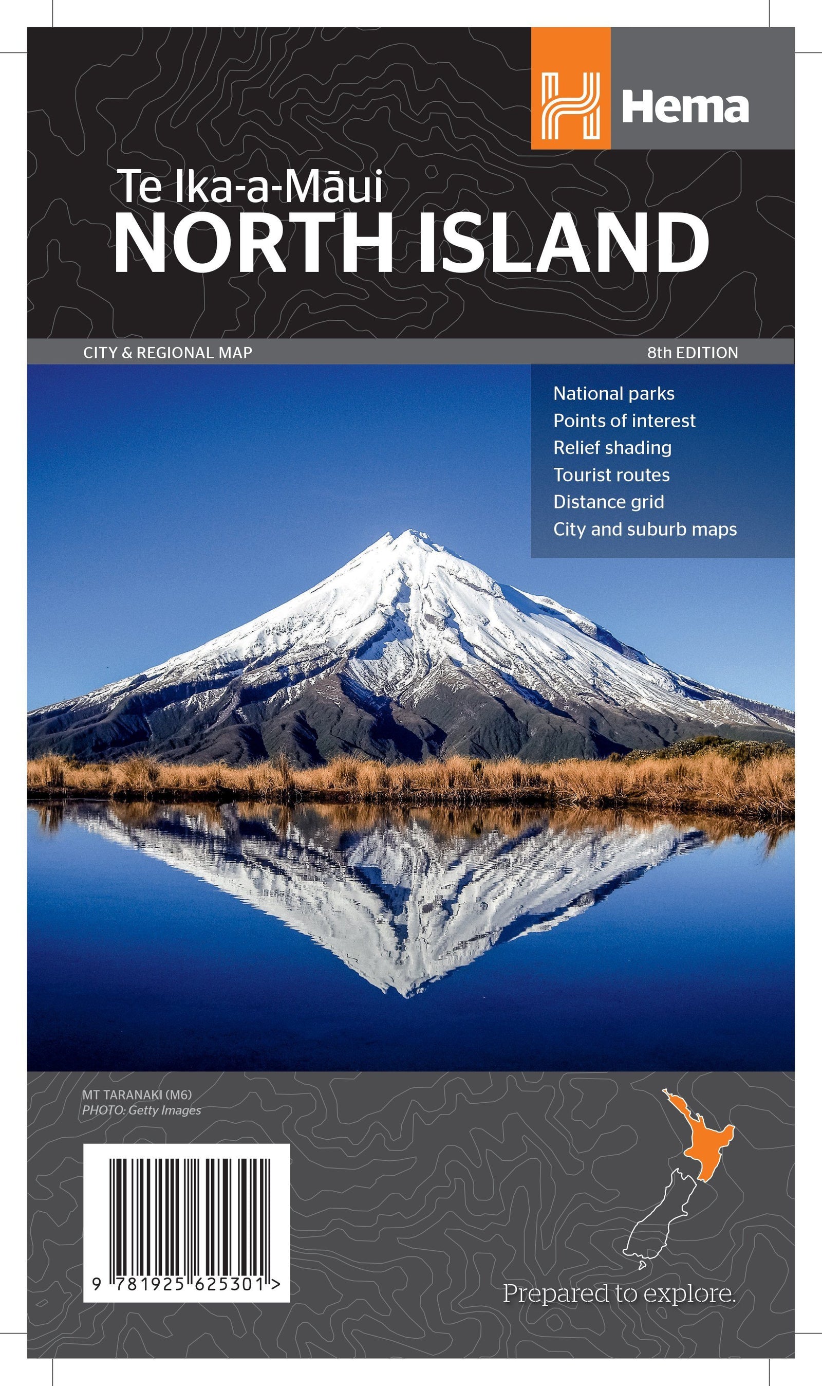
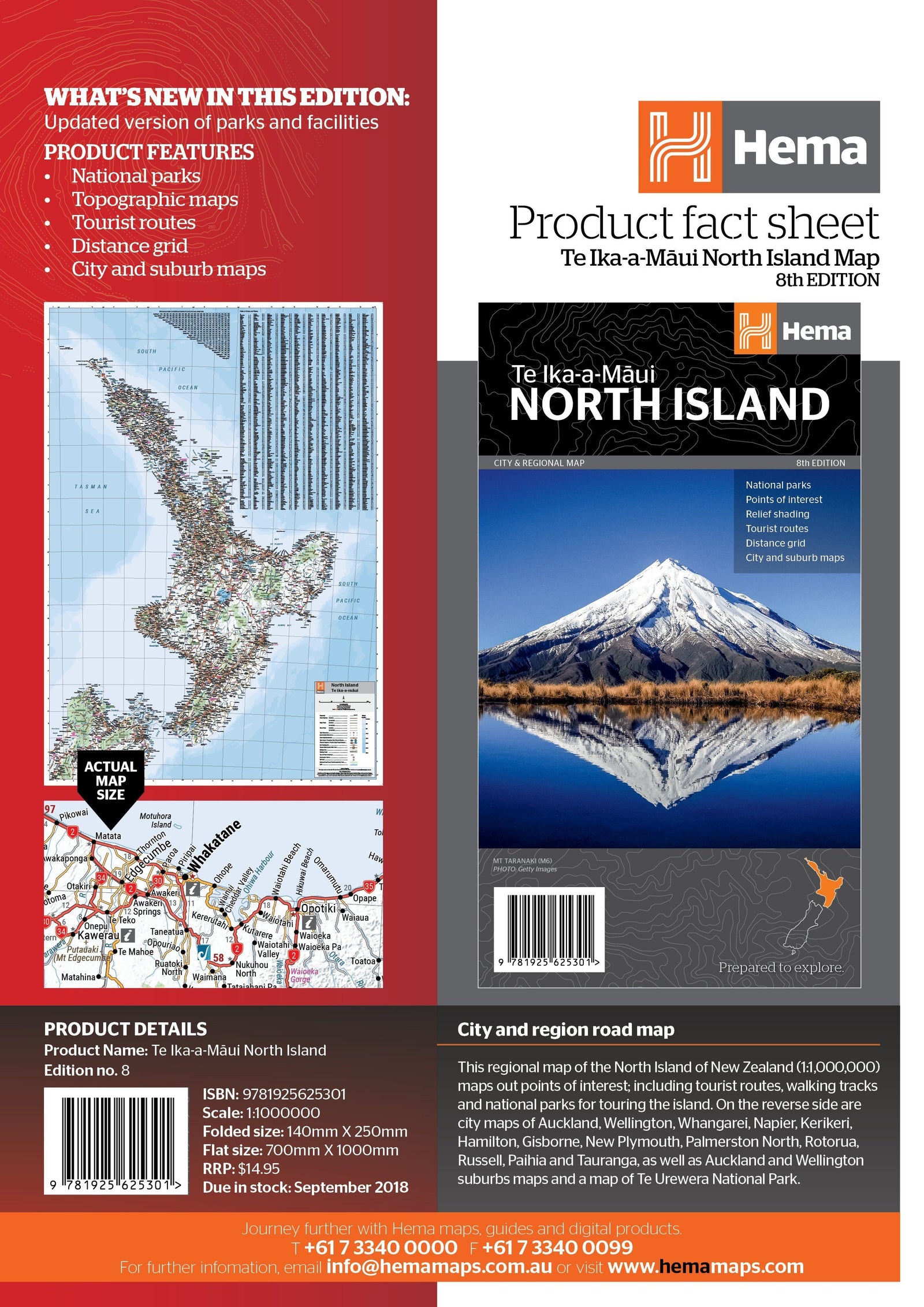
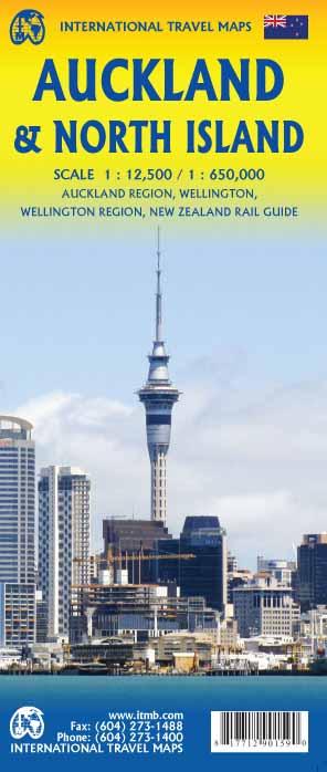
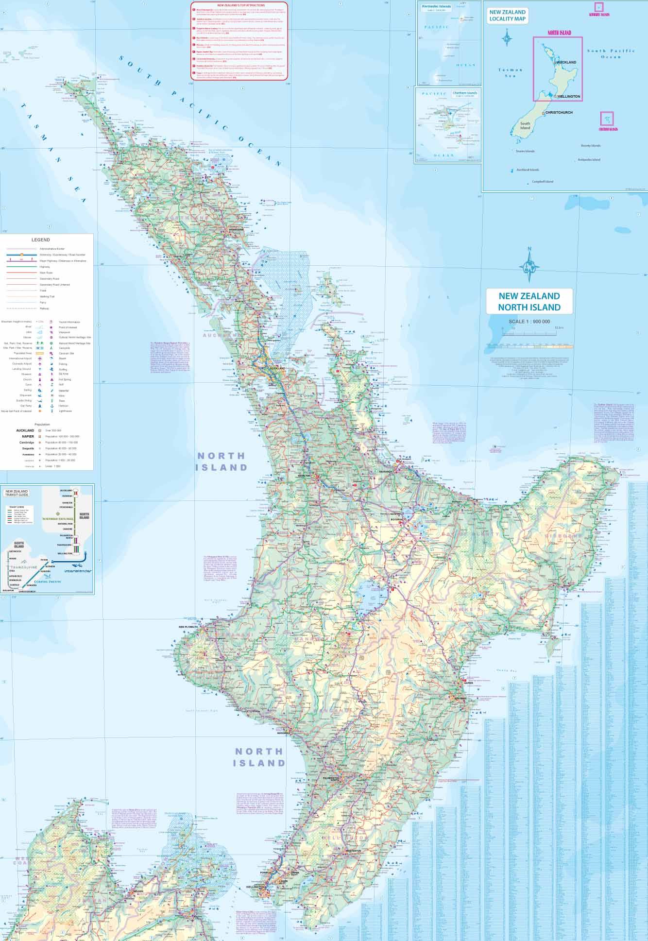
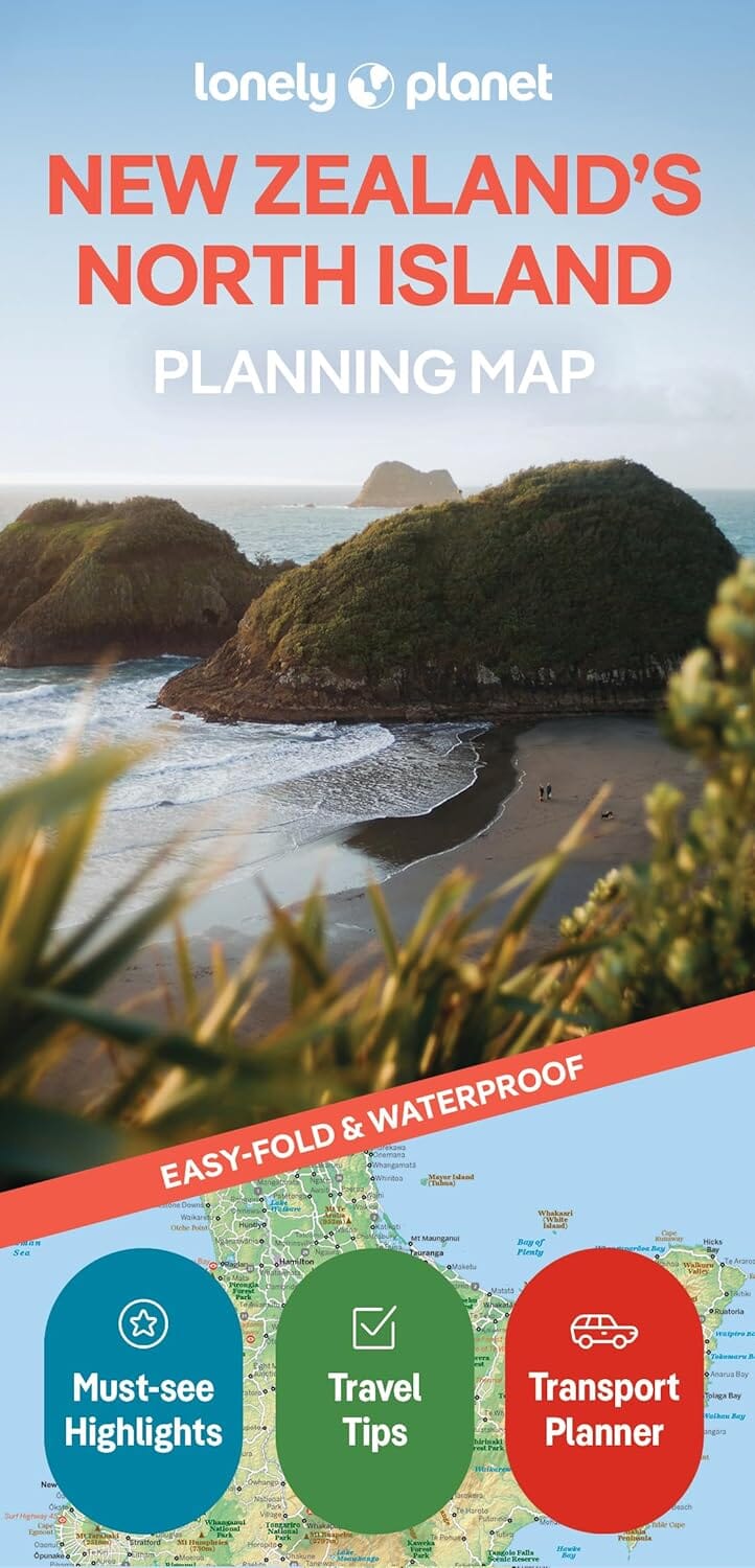
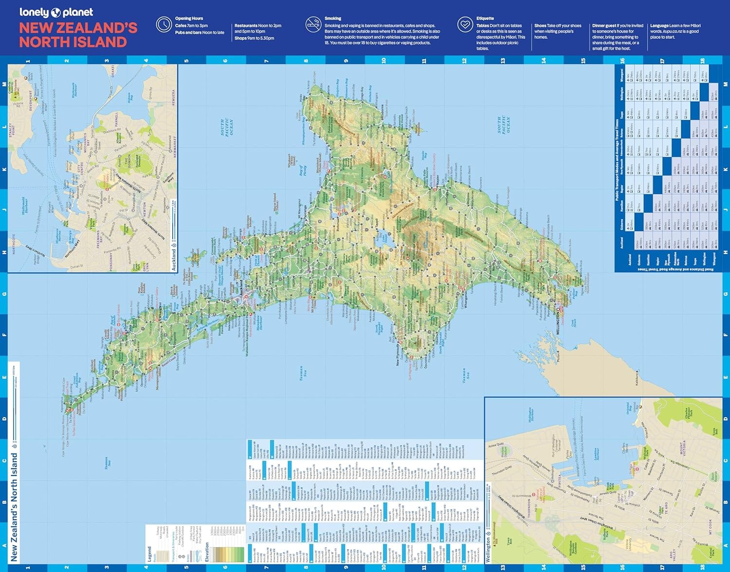
North Island Northern and Central in a series of double-sided indexed tourist maps containing extensive tourist information and street plans of town centres. The maps highlight major highways and regional roads, but also show minor local roads and some 4WD tracks. Railways and popular walking trails are also featured. National parks and forests are highlighted, and a wide range of symbols indicate many sporting and leisure facilities, camping and caravan sites, wineries, Lord of the Rings film locations and other places of interest. Relief is shown by faint hill shading and occasional pinpoint heights. The maps do not have geographical coordinates. Each map is indexed and includes several insets of street plans of the main towns.
*In this title:* an enlargement for the Bay of Islands to 1,275,000 and plans of Auckland, the towns of the Bay of Islands, Cambridge, Coromandel, Dragaville, Hamilton, Kaitaia, Kerikeri, Otorohanga, Paeroa, Pukekohe, Rotorua, Taupo. Tauranga, Te Awamutu, Te Kuili, T.


