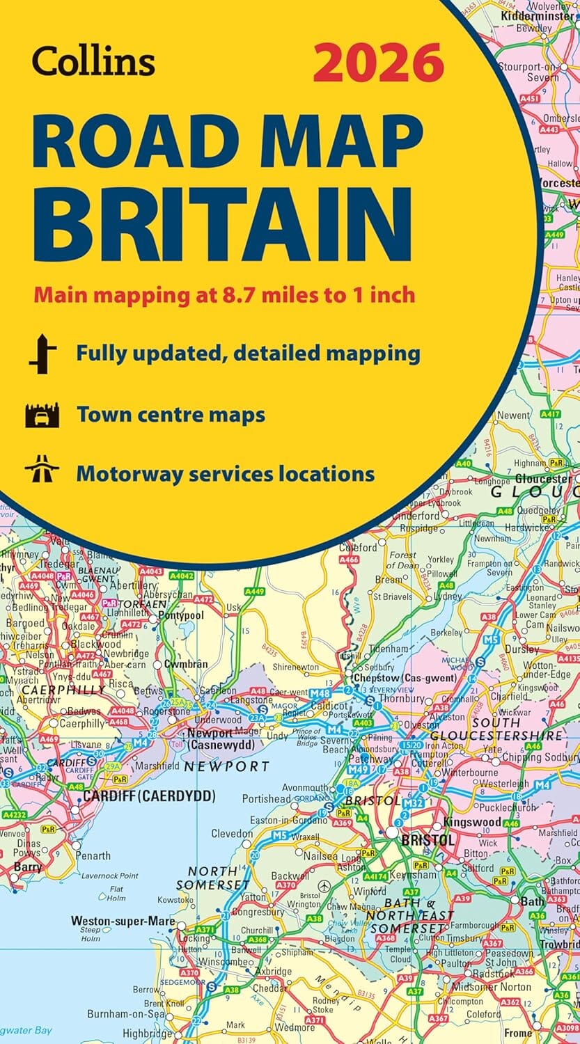
Road Map - Great Britain 2026 | Collins

Price
Regular price £900
Regular price Sale price £900
/
  • Ships within 24 business hours from our warehouse in France
  • Free returns (*)
  • Real-time stock levels
  • Cartovia Guarantee – Delivery issue?
    We resend immediately upon receiving a simple photo.
  • In stock, ready to ship
  • Backordered, shipping soon
Tax included.

Frequently bought together:

Double-sided, full-color road map of Great Britain. Northern England, Scotland, and the Isle of Man are on one side, and southern England and Wales on the other.

With its political coloring of counties and unitary authorities, this map is ideal for business users, but it's also perfect for tourists for route planning.

Key Features:

  • Fully updated
  • Colored counties and local council areas
  • Clear and detailed road network
  • Town and city names, rivers, railway lines, and canals are clearly marked
  • 16 town/city center street maps
  • Place name index
  • Mileage table
  • Ferry routes


ISBN/EAN : 9780008719258
Publication date: 2025
Printed sides: both sides
Folded dimensions: 23.6 x 11.8cm
Language(s): English
Weight: 130 g