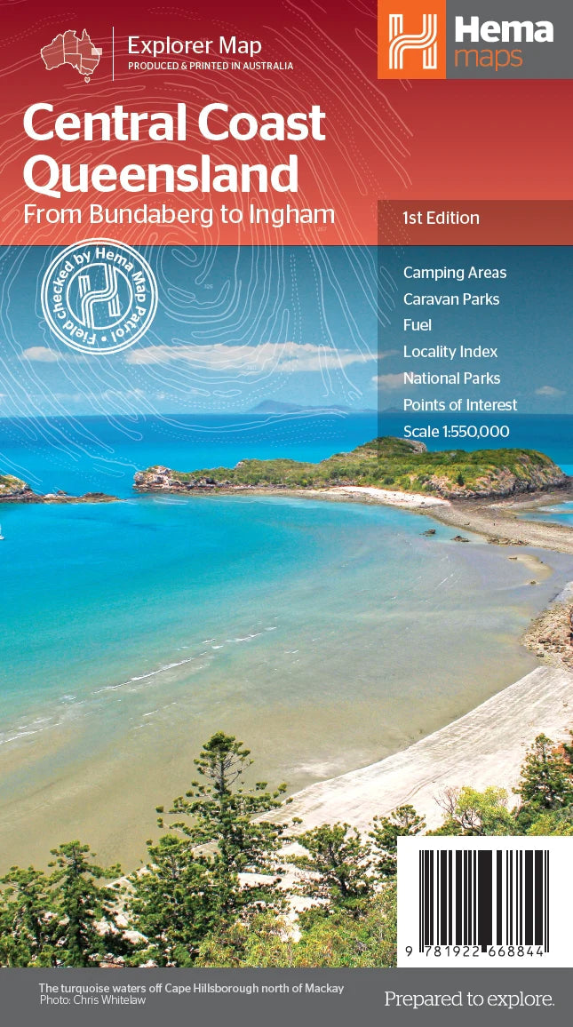
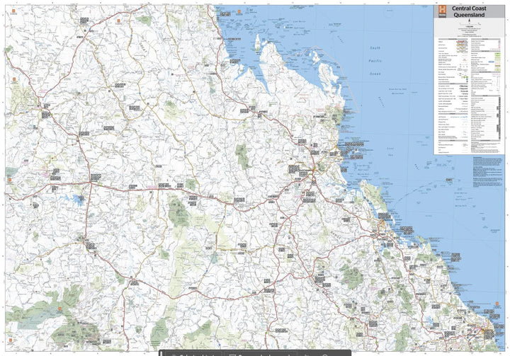
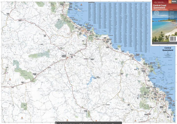
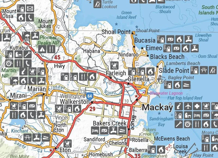
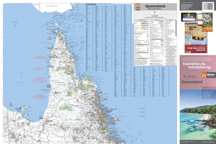
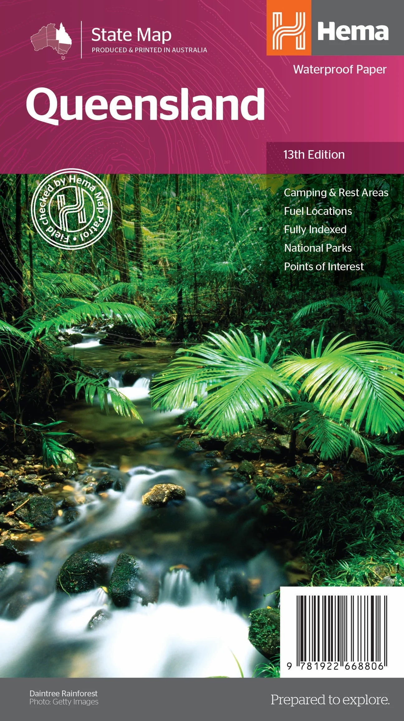
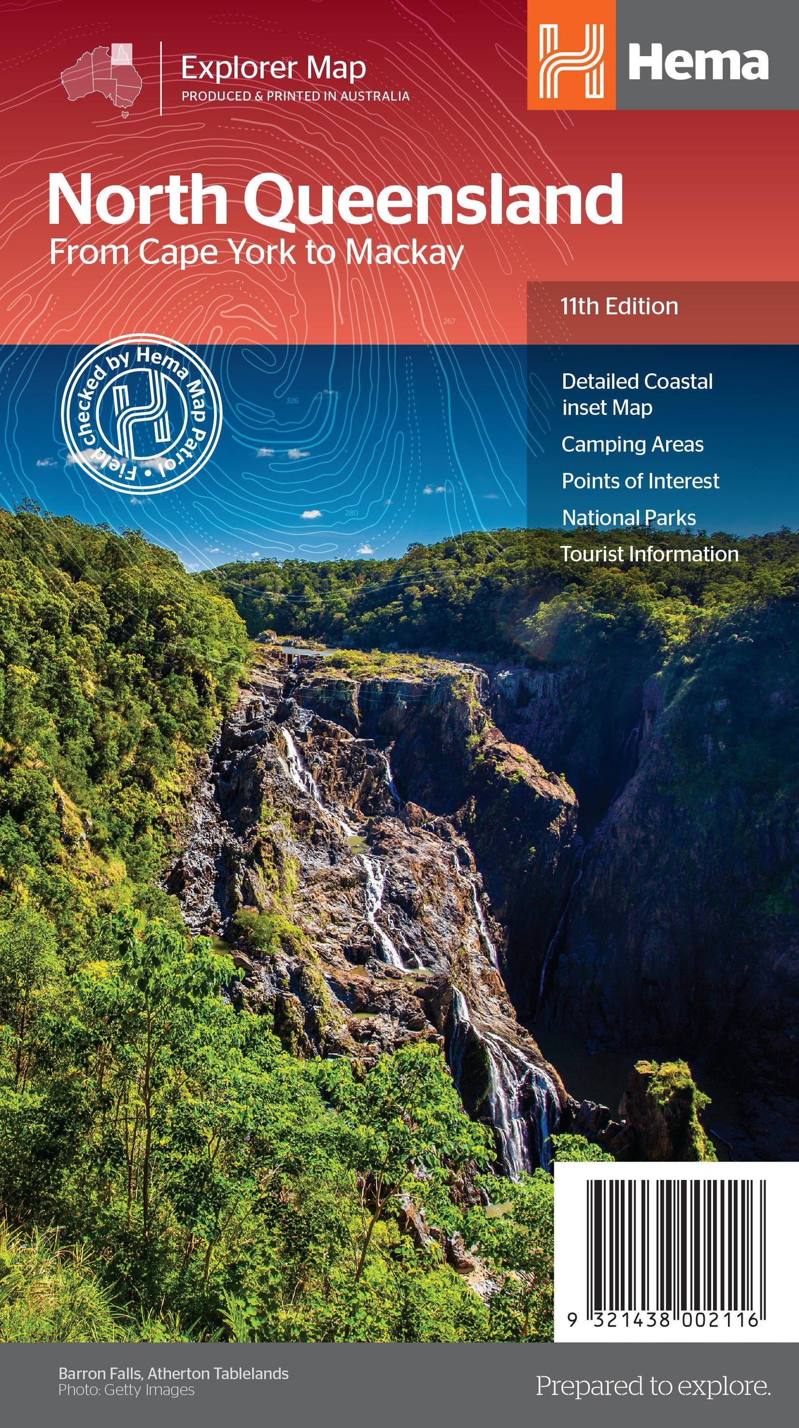
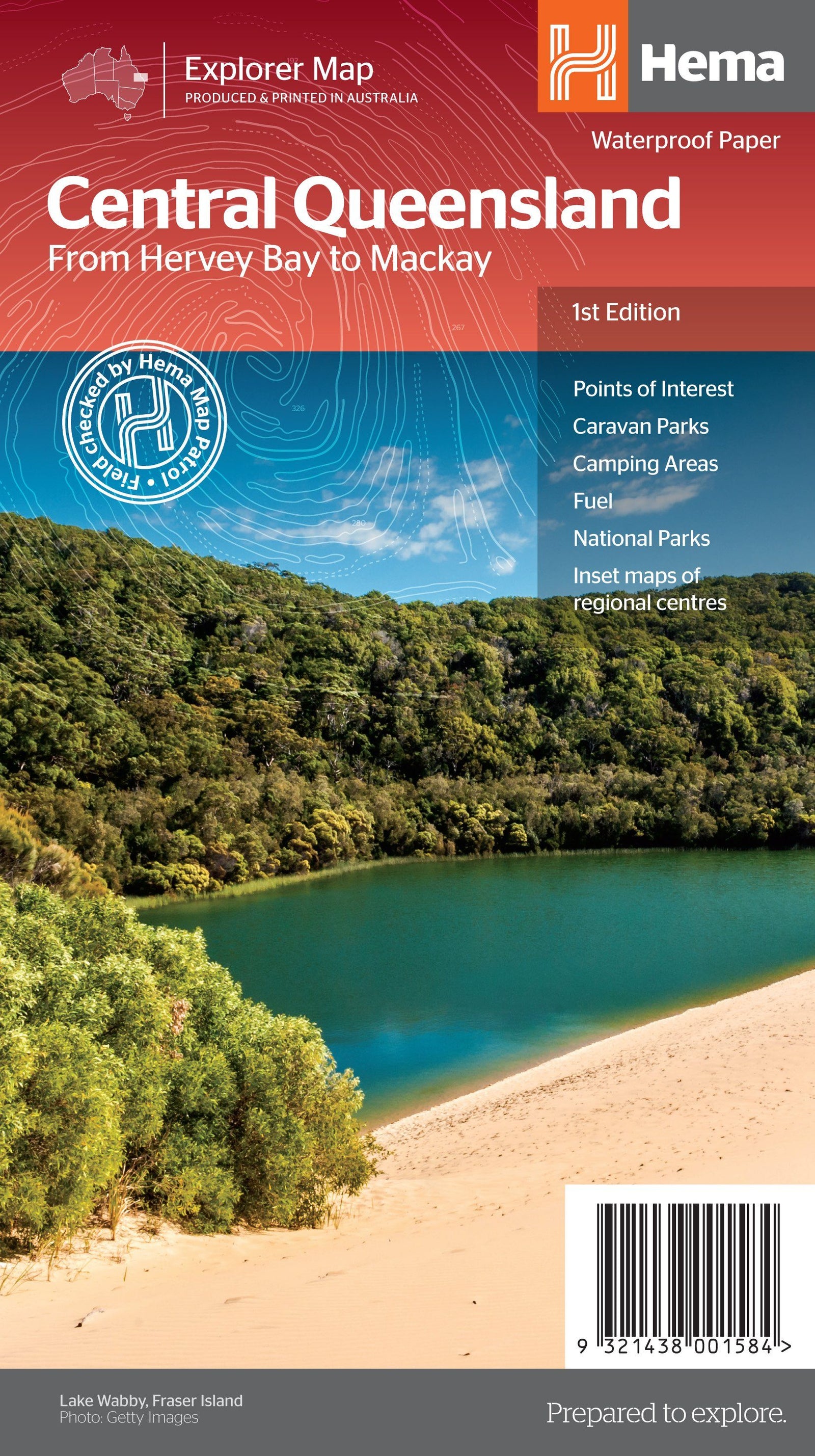
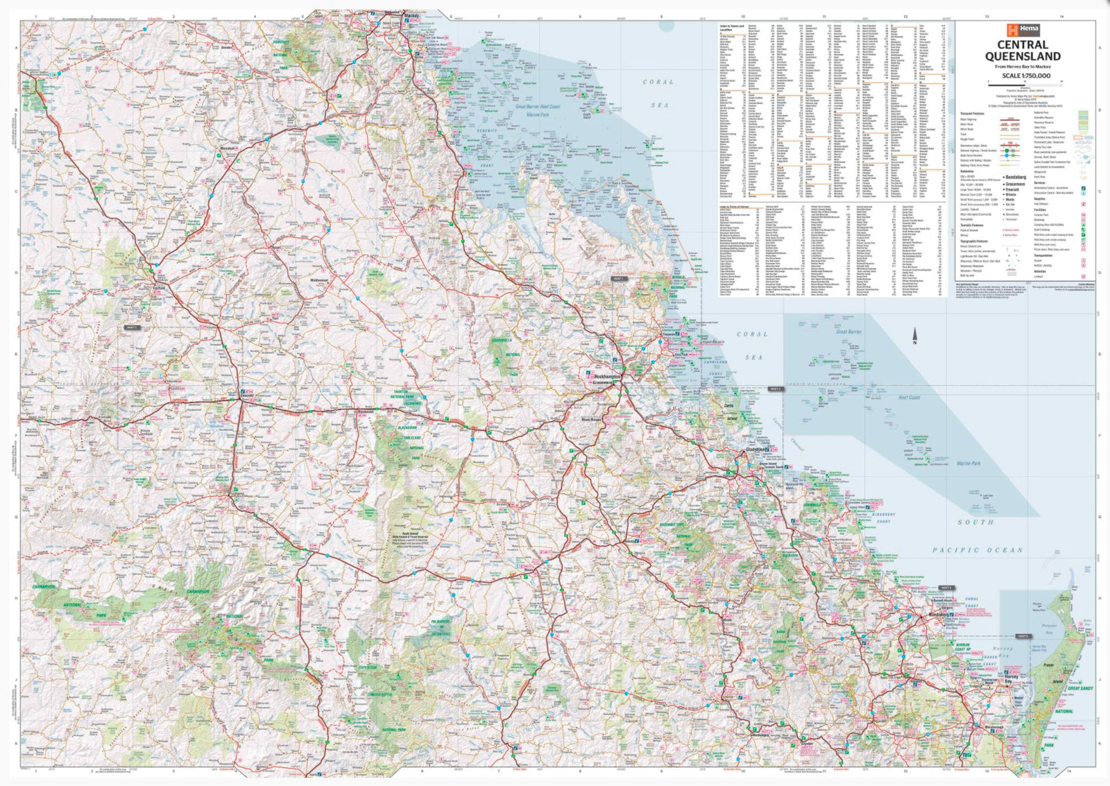
Queensland Central Coast road map published by Hema Maps.
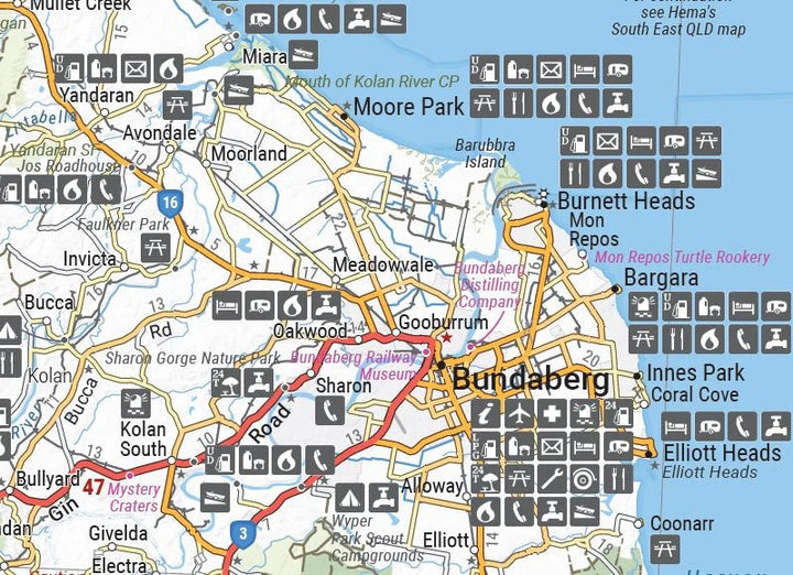
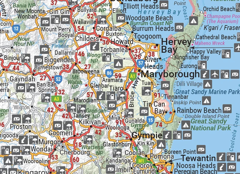
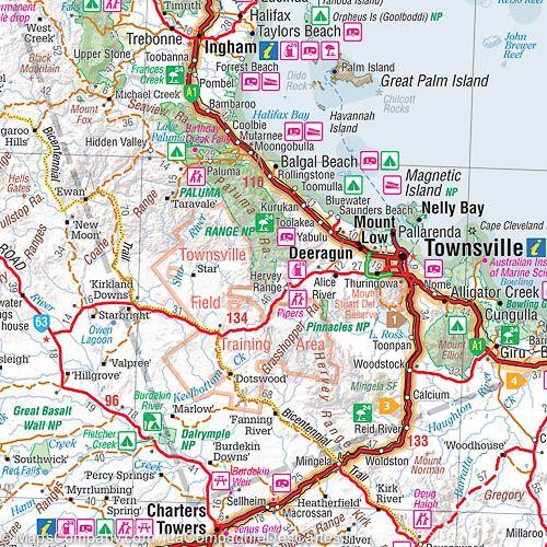
This double-sided regional map shows the Central Queensland Coast (1:550,000), stretching from Bundaberg south to Ingham in the north and to Clermont in the west. The front of the map extends from Mackay in the south to Ingham in the north, encompassing Bowen, Ayr, Townsville, and Ingham along the coast, extending well beyond Charters Towers in the west. The back covers the area from Bundaberg in the south to Camila in the north, with places such as Gladstone, Yeppoon, Marlborough along the coast, and Emerald in the west.
Main features:
- Camping areas
- Caravan parks
- Fuel
- Index of localities
- National Parks
- Points of interest


