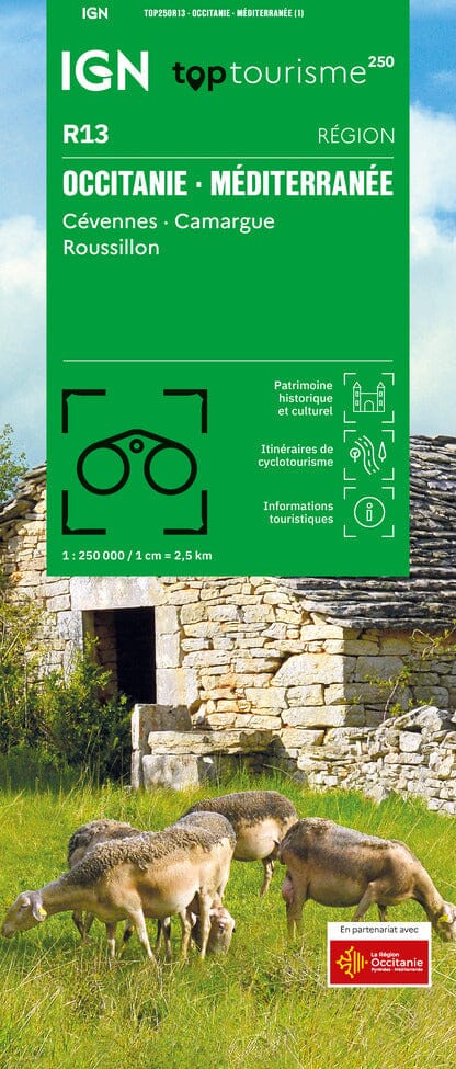
The TOP 75 map no. 33 – Camargue & Alpilles , published by the IGN , covers the areas of Les Baux-de-Provence and Saintes-Maries-de-la-Mer . It is a particularly versatile resource for hiking , outdoor activities and tourist travel in this iconic region of southern France.
The map presents a complete representation of the road network (highways, main, secondary and local roads), facilitating access to natural sites , starting points for hikes , climbing areas , free flight sites , as well as cultural and historical treasures : chapels, castles, caves, museums and amusement parks.
Cycling and two-wheel enthusiasts can also define routes adapted to their level thanks to the presence of cycle paths and the entire road network.
Designed specifically for hiking, the TOP 75 maps include all the essential information for preparation and practice in the field:
-
GR® and GR® de Pays network of the FFRandonnée
-
Contour lines , marked points and rocky areas to assess the difficulty of the routes
-
Gîtes and mountain huts for organizing your stops
-
Tourist and cultural information (viewpoints, remarkable buildings, caves, castles…)
-
GPS grid , facilitating precise location from coordinates provided by a GPS
The map also includes five extracts from TOP 25 maps at a scale of 1:25,000 , ideal for one- or two-day hikes in exceptional locations. IGN mapping at this scale is renowned for its high precision , offering an excellent balance between detail and extensive coverage.