Carte physique (pliée) - République Démocratique du Congo | UCL carte routière UCL

Folded physical map - Democratic Republic of the Congo | UCL

Price
Regular price £1800
Regular price Sale price £1800
/
  • Shipped within 24 to 48h from our warehouse in France
  • All-inclusive price: customs duties are already paid by Cartovia
  • Free returns (*)
  • Real-time stock levels
  • Cartovia Guarantee – Delivery issue?
    We resend immediately upon receiving a simple photo.
  • In stock, ready to ship
  • Backordered, shipping soon
Tax included.

Frequently bought together:

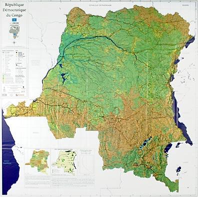
This folded physical map of the Democratic Republic of the Congo was produced by the geomatics research team at the Université catholique de Louvain. It brings together cartographic data for the territory at 1:2,000,000.

The work draws on multiple collaborations and scientific advances in satellite remote sensing. Existing digital data were checked, updated, enriched from available sources and integrated into a geographic information system (GIS).

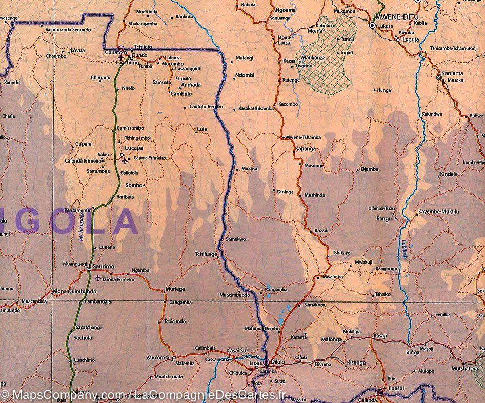
Original information was produced by combining satellite Earth observation with field knowledge from national and international contributors. The national map includes basic information on roads, cities and villages, rivers, infrastructure and other cartographic data. It is intended to support national policies in various fields.


ISBN/EAN : 9782874630613
Publication date: 2007
Scale: 1/2,000,000 (1cm=20km)
Printed sides: front
Folded dimensions: 16.8 x 27.9cm
Unfolded dimensions: 110 x 110cm
Language(s): French
Weight: 150 g