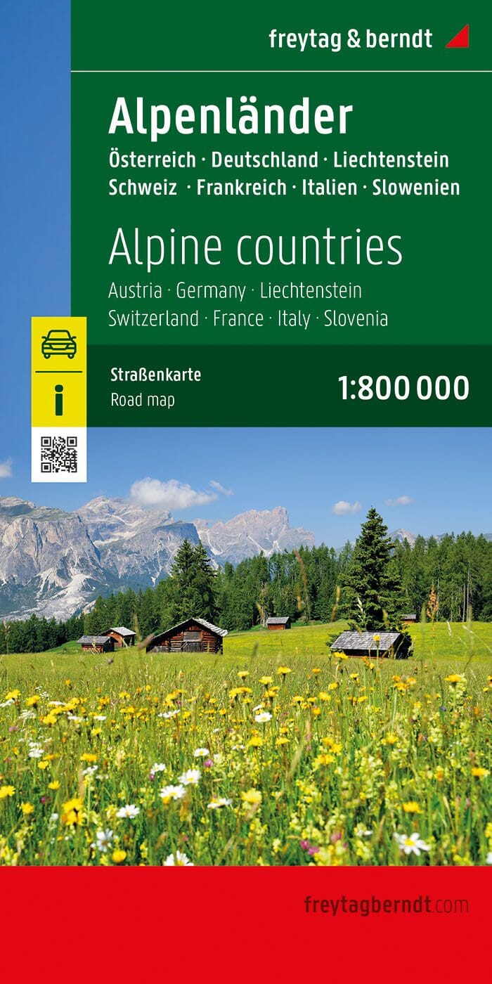
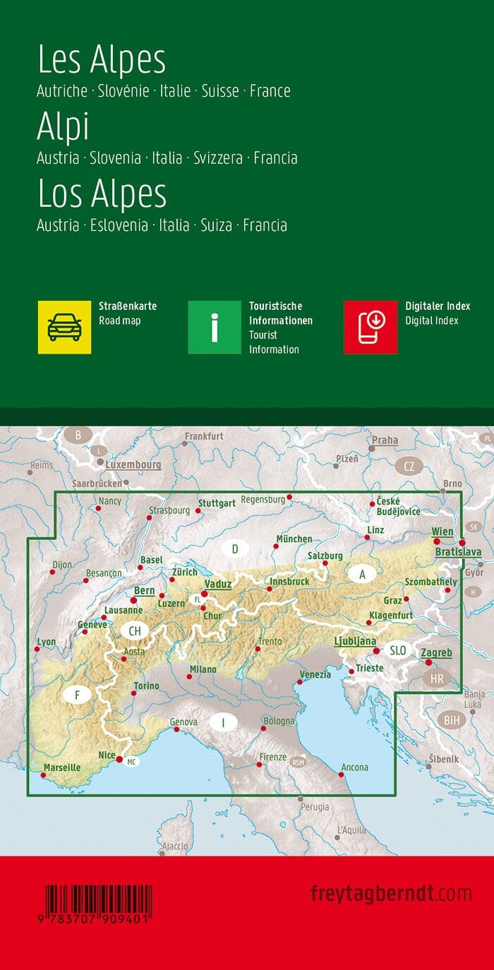
Travel map of Liechtenstein and Western Austria. The front features Liechtenstein, and the back focuses on eastern Austria and southern Germany, from Lake Boden (Bodensee) to Linz and the Italian border north to Passau, Germany.
This is both a road/rail map and a physical map of this part of the Alps. The map includes its own list of top attractions. Border crossings are presented as a formality, except for Switzerland. This would be an excellent map to use for exploring the mountains south of Innsbruck or for discovering small villages in Tyrol.
The key includes:
Roads by classification, rivers and lakes, national parks, airports, points of interest, highways, major roads, zoos, fishing, etc.


