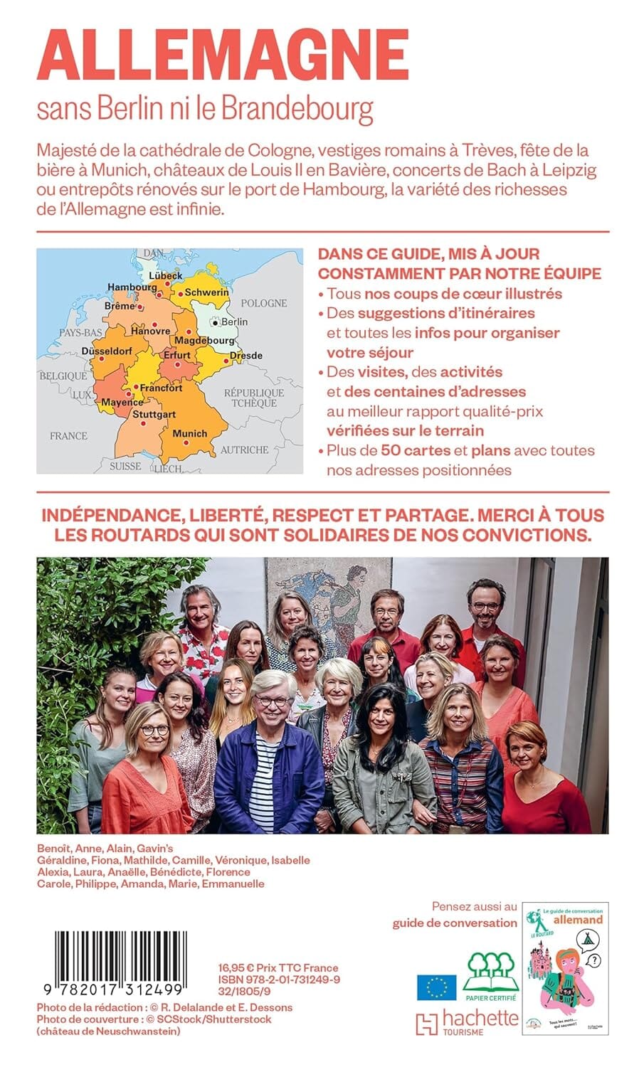
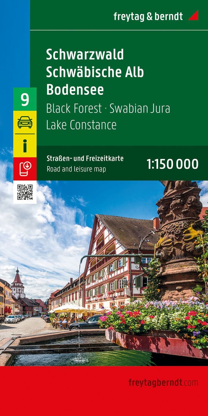
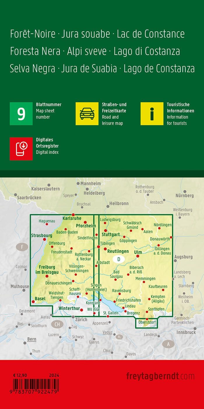
Hiking map No. 1B of the eastern part of Lake Constance.
Kompass cards contain everything outdoor enthusiasts need to know.
These highly detailed maps show the topography of the terrain, indicate hiking trails with marks according to difficulty level, contour lines and corresponding vegetation types as well as comprehensive tourist information.
Symbols indicate campsites, youth hostels, mountain huts, selected hotels and remote inns, sports and recreational facilities, as well as a wide range of other places of interest.
The legend is multilingual.


