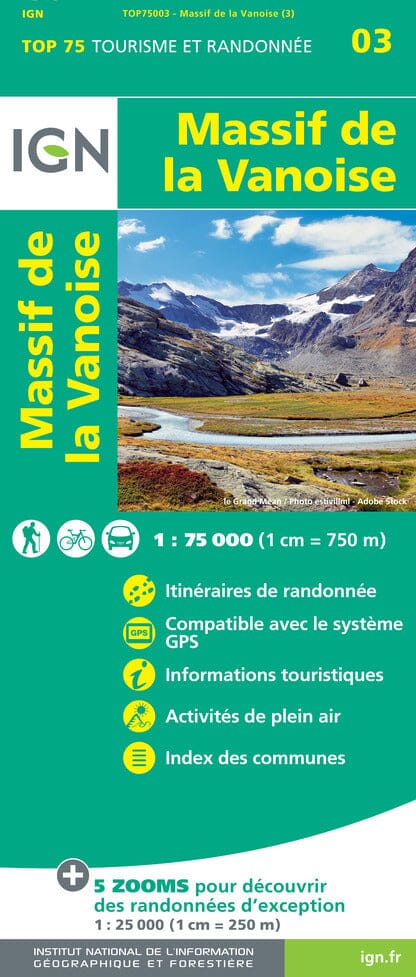
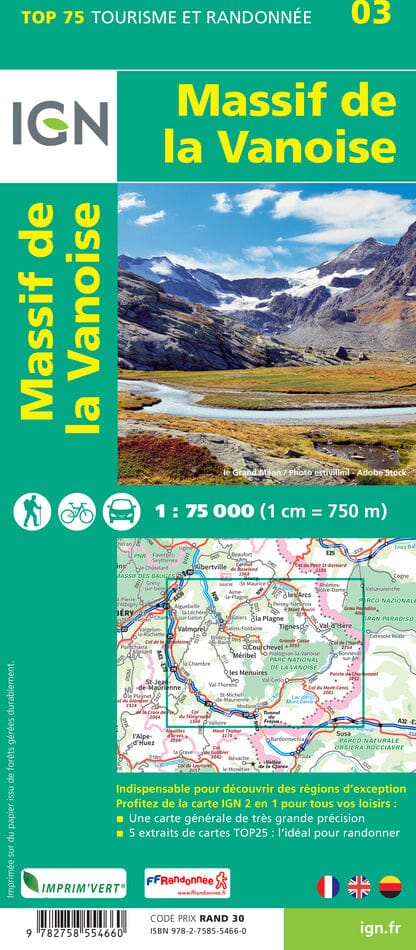
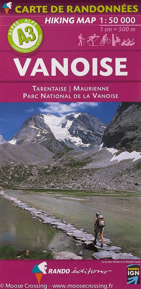
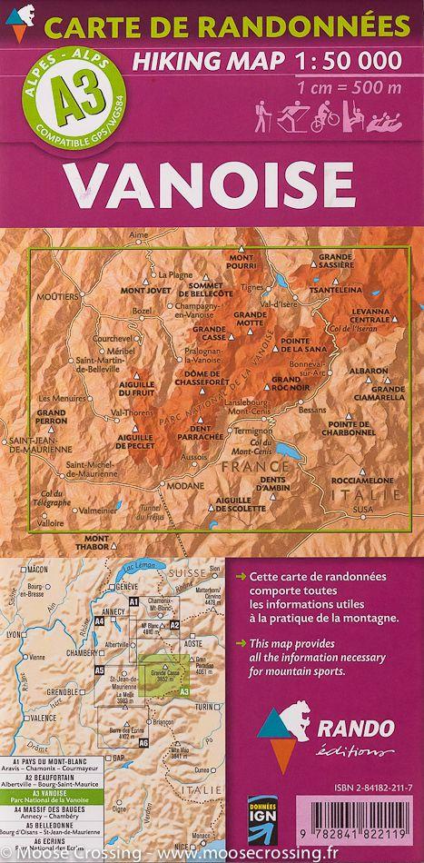
The IGN TOP 25 hiking map No. 3534 OT covers the following area: Three Valleys & Modane, Vanoise National Park.
IGN TOP 25 topographic map No. 3534OT of the area around Les Ménuires, Méribel and Courchevel, including part of the Vanoise National Park.
The map extends from Bose to Modane from north to south, and from Les Ménuires to Pralognan-la-Vanoise from west to east.
- Contour lines at 10-metre intervals.
- Detailed legend: vegetation, rocks, watercourses and more.
- Hiking trails are shown.
Municipalities covered: Montagny, Saint-André, Villarodin-Bourget, Bozel, Aussois, Planay, Orelle, Pralognan-la-Vanoise, Champagny-en-Vanoise, Feissons-sur-Salins.
Places to discover: Glacier de Gébroulaz, Glacier de Chavière, Glaciers de la Vanoise, Dôme de Chasseforêt, Mont Pelve, Mont de la Chambre, Aiguille de Péclet, Roc de Tougne, Mont du Borgne, la Dent Parrachée, Aiguille du Fruit, Mont du Vallon, Cîme de Caron, Vanoise Pass, Pointe de Longe Côte, Mt Bochor, Sommet de la Saulire.