Hiking map & guide - Three Huts Traverse, Carança-Ulldeter-Coma de Vaca (Catalan Pyrenees) | Alpina

Price
Regular price £1400
Regular price Sale price £1400
/
  • In stock in France and in the USA
    Shipped within 24 to 48h from the warehouse closest to you
  • All-inclusive price: customs duties are already paid by Cartovia
  • Free returns (*)
  • Real-time stock levels
  • Cartovia Guarantee – Delivery issue?
    We resend immediately upon receiving a simple photo.
  • In stock, ready to ship
  • Backordered, shipping soon
Tax included.

Frequently bought together:

Hiking map and guide to the Three Huts Traverse, from the Spanish publisher Alpina.

This wonderful trek explores unforgettable places in the eastern Pyrenees, with abundant wildlife, beautiful flowers, spectacular gorges, secluded lakes, lovely forests and lively rivers. At the end of each stage, a night in a staffed mountain hut provides the chance to recover for the following day.

The traverse has more than 3,000 metres of total elevation change. More athletic hikers can add ascents of local summits: Balandrau, Bastiments, Gra de Fajol, Gallinas, Torreneules and Puigmal, bringing the total to more than 6,000 metres.

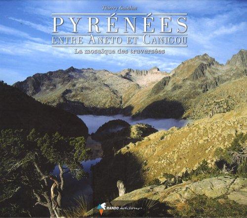
Ripollès and Haut Conflent, in the eastern Pyrenees, form a wild area dominated by high mountains. This well-preserved natural environment has great biodiversity. The secluded huts of Ulldeter, Ras de Carança and Coma de Vaca are linked by the Three Huts Traverse.

  • Contour interval: 10 m.
  • Index contour interval: 50 m.
  • Shaded relief.
  • GPS-compatible.
  • Waymarked routes.

Please note: the guide supplied with the map is in French, not English as stated on the cover.


ISBN/EAN : 9788480907897
Publication date: 2019
Scale: 1/25,000 (1cm=250m)
Printed sides: front
Folded dimensions: 21 x 12.5cm
Language(s): French, Castilian, English
Weight: 150 g