Hiking map - In the heart of the Gavarnie and Vignemale massifs, GR 10 | FFRandonnée

Price
Regular price £1200
Regular price Sale price £1200
/
  • Shipped within 24 to 48h from our warehouse in France
  • All-inclusive price: customs duties are already paid by Cartovia
  • Free returns (*)
  • Real-time stock levels
  • Cartovia Guarantee – Delivery issue?
    We resend immediately upon receiving a simple photo.
  • In stock, ready to ship
  • Backordered, shipping soon
Tax included.

Frequently bought together:

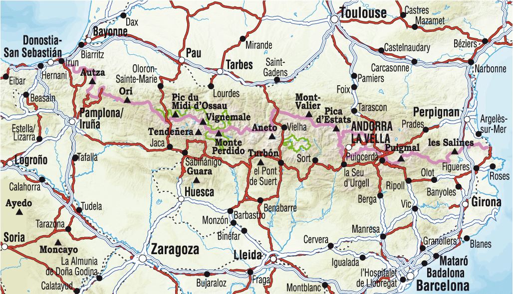
The Topocarte map of Gavarnie and Vignemale offers a six-day loop based on the GR® 10, in the heart of the central Pyrenees. It links major sites such as Pont d’Espagne, Lake Gaube, Vignemale’s north face and Gavarnie.

Through the Pyrenees National Park, the scenery alternates between rocky high mountains and flower-filled valleys where pastoral life remains active. Although part of the route crosses high mountains, it is intended for fit hikers rather than being reserved for seasoned mountaineers.

Highlights include Cauterets with its thermal baths and waterfalls, Lake Gaube reflecting Vignemale’s rock face, the Hourquette d’Ossoue, the highest point of the GR® 10 at 2,734 m, and the UNESCO-listed Cirque de Gavarnie.

The map brings together daily stages, the area’s highlights, detailed IGN mapping, accommodation and downloadable GPX tracks.

  • Duration stated in the highlights: 6 days of long-distance hiking on GR trails.
  • An all-in-one Topocarte map to make multi-day hiking easier.
  • Strong, flexible, double-sided paper, resistant to rain and snags.
  • Predefined daily stages, divided into sections, with routes on IGN base mapping.
  • Selected accommodation and transport options.
  • Access to the GPX track through MaRando.


ISBN/EAN : 9782751413186
Publication date: 2024
Scale: 1/50,000 (1cm=500m)
Printed sides: both sides
Folded dimensions: 25 x 10.7 x 0.3 cm
Language(s): French
Weight: 50 g