Mountain map - Vindelfjällen (Sweden) | Calazo - 1:100,000

Price
Regular price £1900
Regular price Sale price £1900
/
  • Shipped within 24 to 48h from our warehouse in France
  • All-inclusive price: customs duties are already paid by Cartovia
  • Free returns (*)
  • Real-time stock levels
  • Cartovia Guarantee – Delivery issue?
    We resend immediately upon receiving a simple photo.
  • In stock, ready to ship
  • Backordered, shipping soon
Tax included.

Frequently bought together:

The Vindelfjällen mountain map, at 1:100,000, published by Calazo, is designed to provide a reliable, accurate overview of northern Sweden's vast mountain landscapes. For many years, this scale was standard for the whole Scandinavian mountain chain; this map retains the appearance and content of the traditional mountain maps formerly produced by the Swedish mapping authority.

At 1:100,000, it covers large areas and gives an overall view of mountain ranges, valleys and plateaus. It is especially recommended for multi-day hikes, long-distance crossings and journeys over extensive areas, particularly by snowmobile. For those seeking more detail, Calazo also offers mountain maps at 1:50,000.

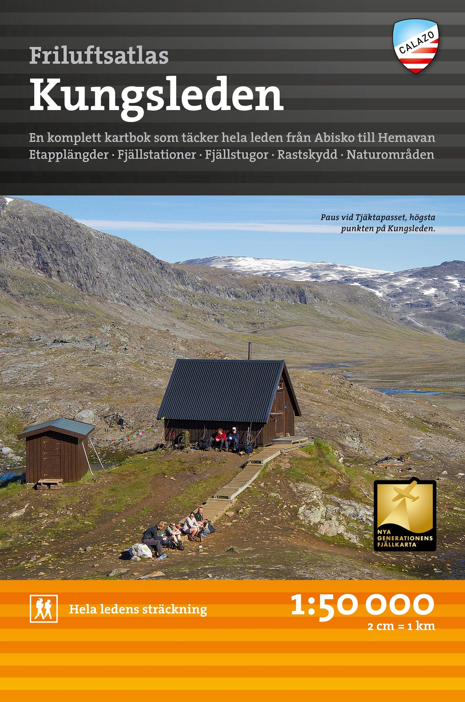
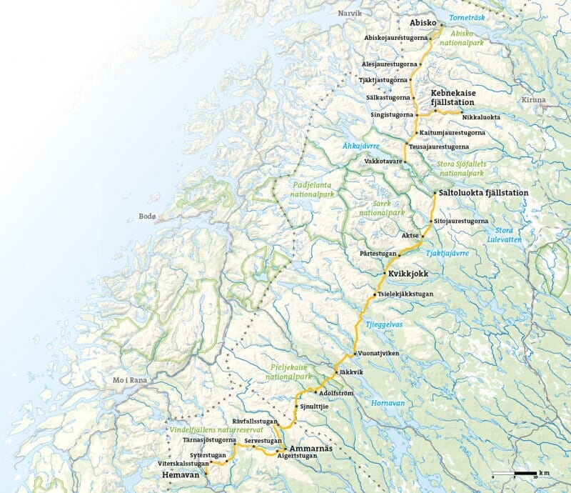
This map is ideal for exploring Vindelfjällen's wild, unspoilt landscape, from Artfjället and Hemavan in the south, along the Norwegian border, to Mávas and Junkerdal National Park in the north. It also covers the famous Kungsleden between Hemavan and Adolfsström, an iconic section for Nordic hikers.

Printed on Tyvek®, the map is completely waterproof and extremely tear-resistant. This synthetic material ensures excellent durability: it does not tear along the folds or lose its colours, even after intensive use in difficult conditions. It is well suited to hiking in mountain and subarctic environments.


ISBN/EAN : 9789189880078
Publication date: 2026
Scale: 1/100,000 (1cm=1km)
Printed sides: both sides
Folded dimensions: 21x13cm
Language(s): English, Swedish
Weight: 52 g