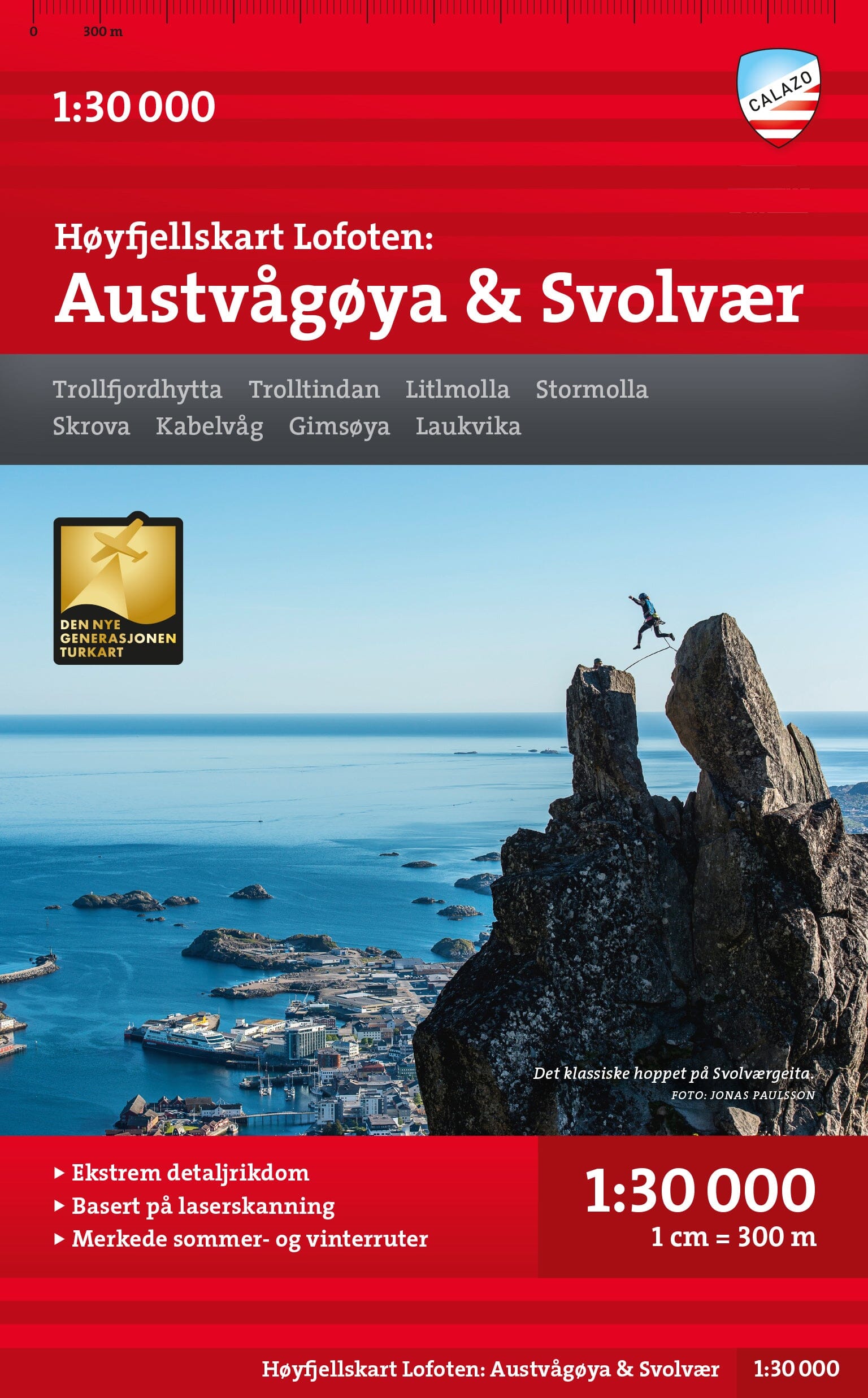
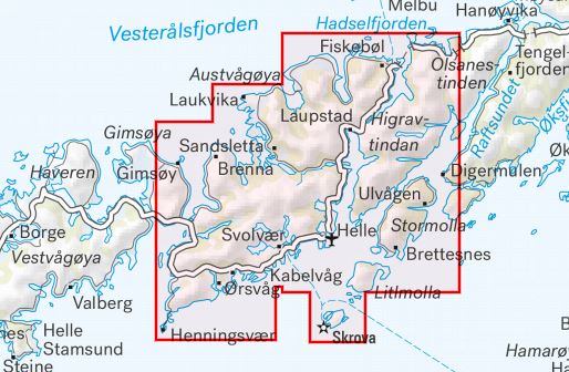
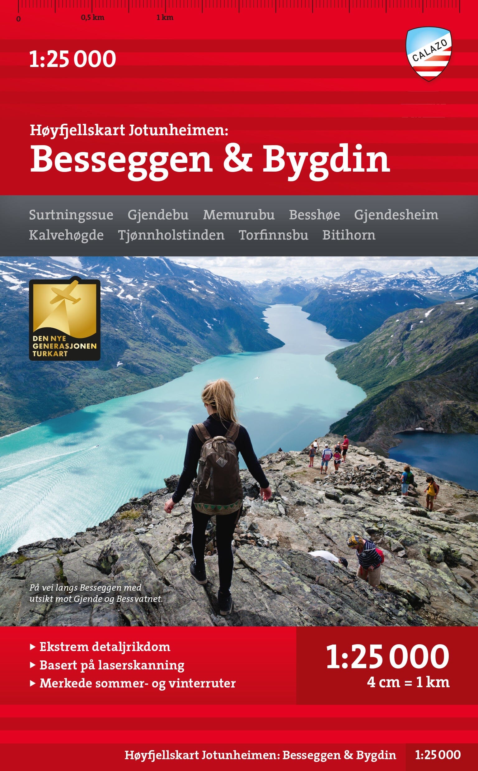
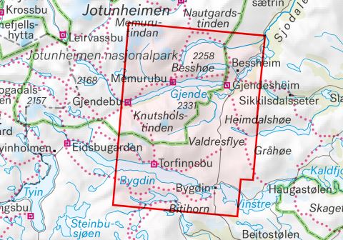
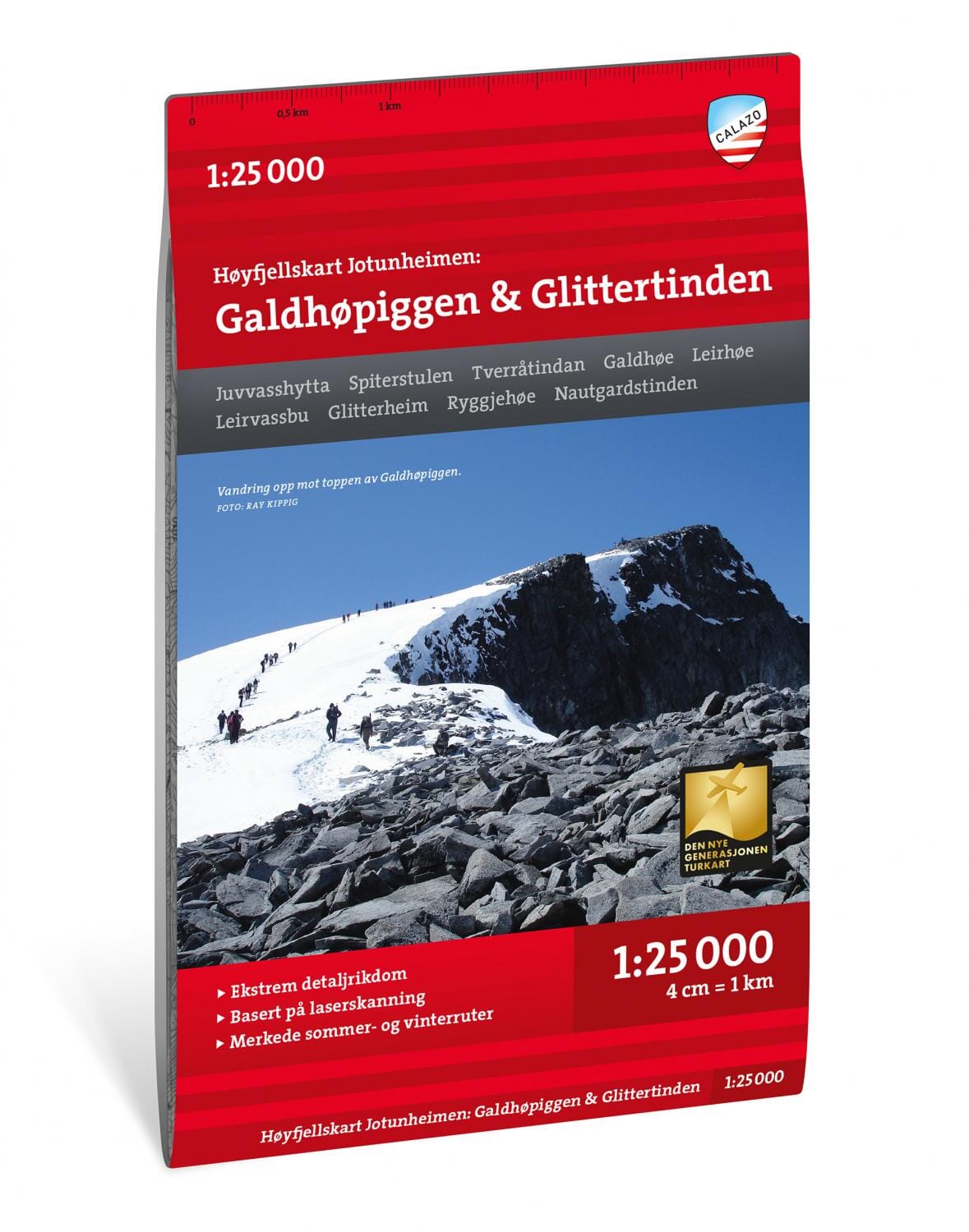
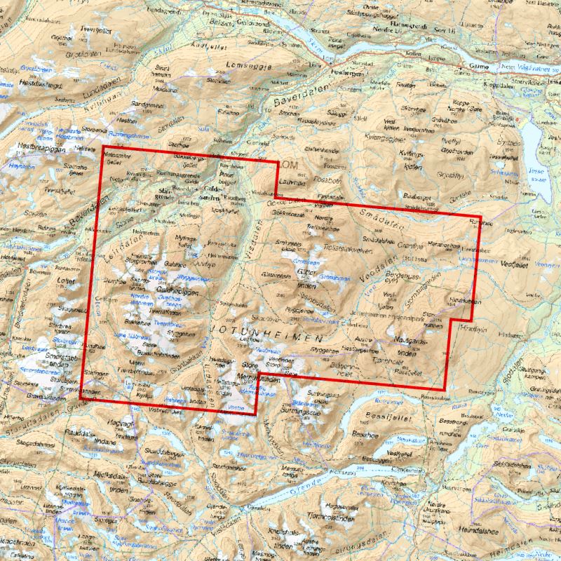
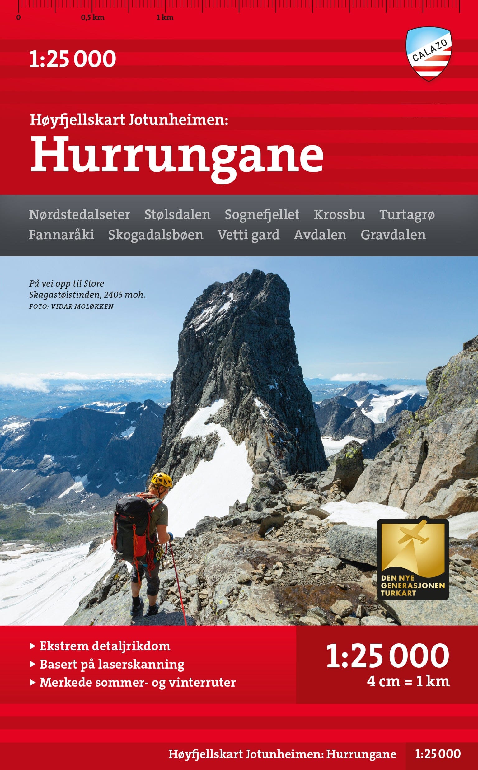
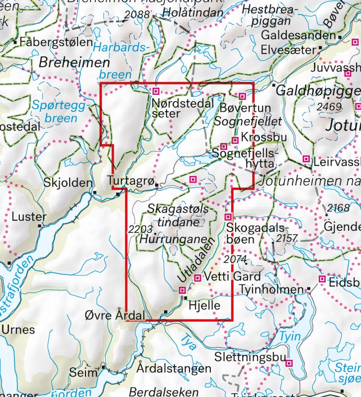
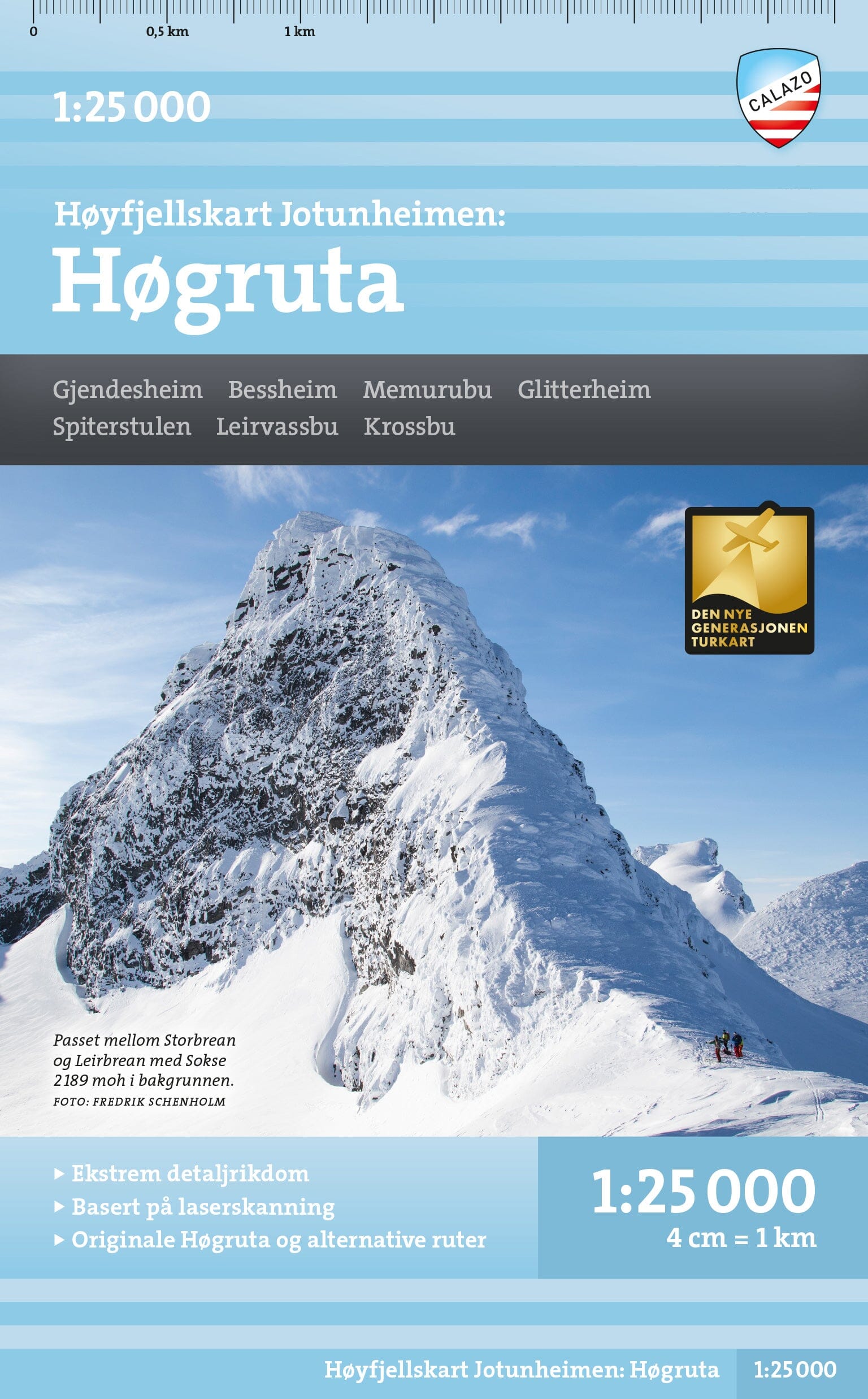
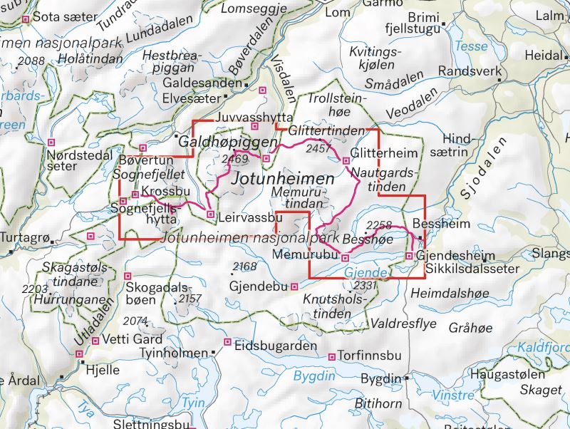
Hiking map of part of the Lofoten Islands published by Calazo. This map is part of the series of highly detailed mountain maps of Norway. The maps' terrain information is based on laser scanning data, which shows, for example, elevation ratios, large rocks, and bodies of water more accurately than before.
The maps are particularly suitable for mountain hikes, glacier hikes, and those of you looking for new mountain routes.
ISBN/EAN : 9789188779861
Publication date: 2021
Scale: 1/30,000 (1cm=300m)
Printed sides: both sides
Folded dimensions: 21x13cm
Language(s): English, Norwegian
Weight:
60 g


