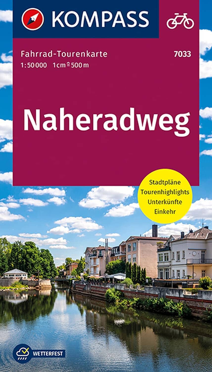
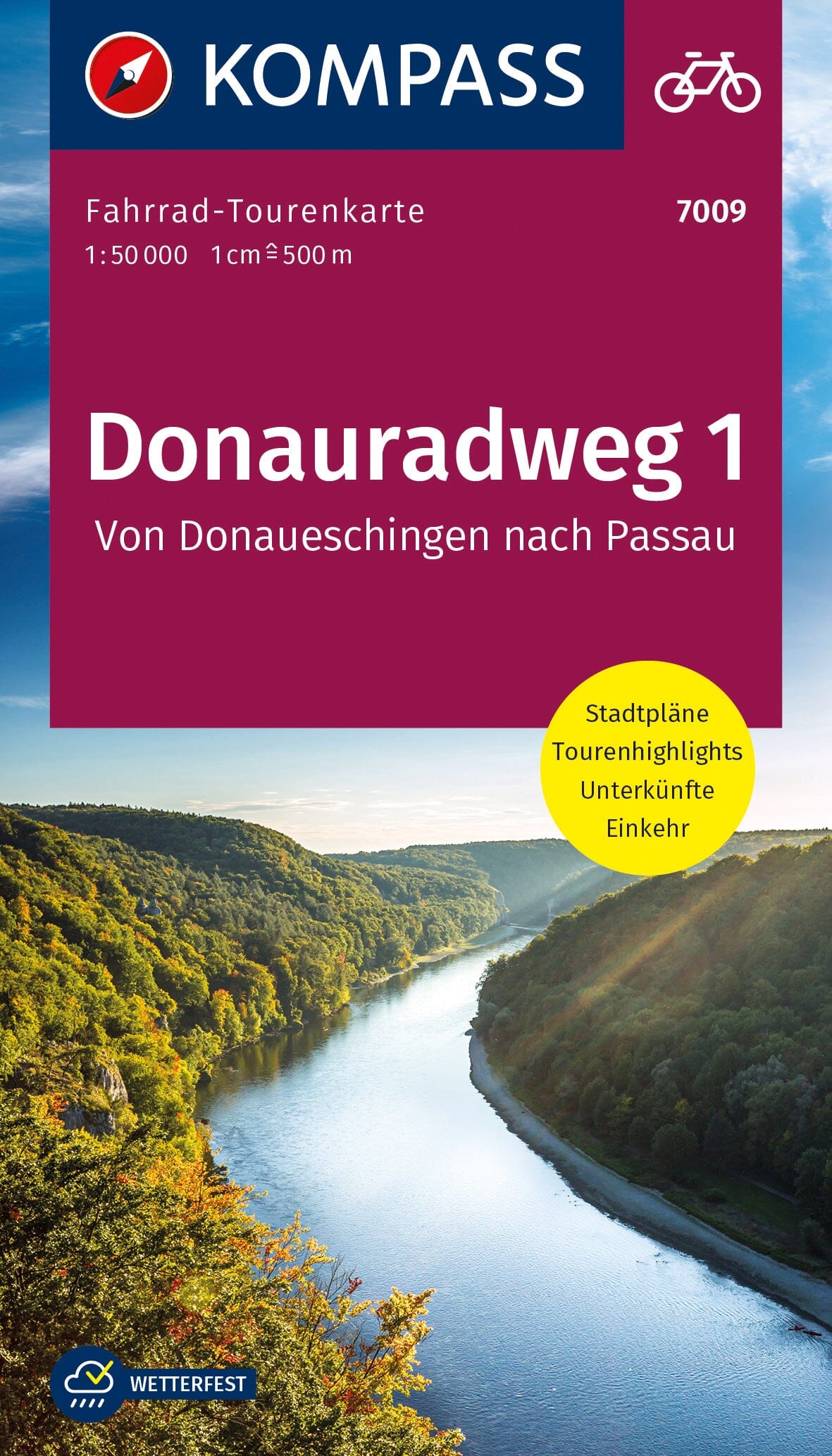
Kompass | Leporello format | Scale 1:50,000 | Water and tear resistant
The Naheradweg Kompass map accompanies you along this 130 km cycle route, which connects Selbach (near Nohfelden) to Bingen am Rhein, following the meanders of the peaceful Nahe River. It is an ideal route for cyclists of all levels, combining wine-growing landscapes, spa towns, historic villages, impressive rock formations and local culture.
Thanks to its Leporello format, this map unfolds like an accordion for quick consultation while remaining compact and practical to carry, especially in a handlebar bag. It presents the entire route, with the distances between stages, an elevation profile, as well as numerous points of interest and accommodation suggestions.
Printed on weather and tear resistant paper, it is designed to accompany cyclists whatever the weather conditions.
