Tourist atlas - Wild Atlantic Way (Ireland's Atlantic coast) | Xploreit

Price
Regular price £2200
Regular price Sale price £2200
/
  • Shipped within 24 to 48h from our warehouse in France
  • All-inclusive price: customs duties are already paid by Cartovia
  • Free returns (*)
  • Real-time stock levels
  • Cartovia Guarantee – Delivery issue?
    We resend immediately upon receiving a simple photo.
  • In stock, ready to ship
  • Backordered, shipping soon
Tax included.

Frequently bought together:

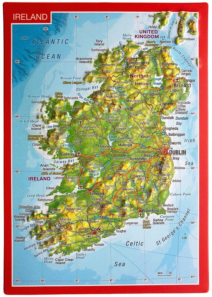
The Wild Atlantic Way is the world's longest defined coastal route. It includes Ireland's northernmost point, Malin Head in Donegal, and its southernmost point, Mizen Head in Cork. Along the way, numerous spectacular discovery points offer outstanding panoramic views.

This atlas divides the route into 30 detailed yet easy-to-read fold-out maps. Coastal roads are classified so that narrow sections are immediately apparent and particularly scenic stretches stand out.

Each section can be travelled in a day or less. Useful distance tables for towns and villages help with trip planning.

All official discovery points are clearly shown, including the 15 iconic signature points. More than 40 categories of visitor information help you find hidden gems and well-known attractions. A selection of coastal and woodland walks close to the route is also described.


ISBN/EAN : 9780955265594
Publication date: 2023
Pagination: 106 pages
Scale: varied
Folded dimensions: 16.4 x 27cm
Language(s): English
Weight: 366 g