Road atlas - United Kingdom 2025 | AA Publishing

Price
Regular price £1500
Regular price £2100 Sale price £1500
/
  • Shipped within 24 to 48h from our warehouse in France
  • All-inclusive price: customs duties are already paid by Cartovia
  • Free returns (*)
  • Real-time stock levels
  • Cartovia Guarantee – Delivery issue?
    We resend immediately upon receiving a simple photo.
  • Low stock - 1 item left
  • Backordered, shipping soon
Tax included.

Frequently bought together:

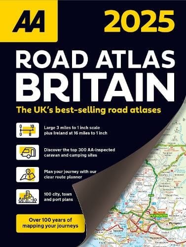
This bestselling A4 road atlas presents clear mapping of Britain from the AA's experts at 3.2 miles to 1 inch. Each page is titled with its geographical location to make finding the right map easier.

Maps show wide and narrow minor roads, National Trust, English Heritage and World Heritage sites, and hard-to-find places.

Contents

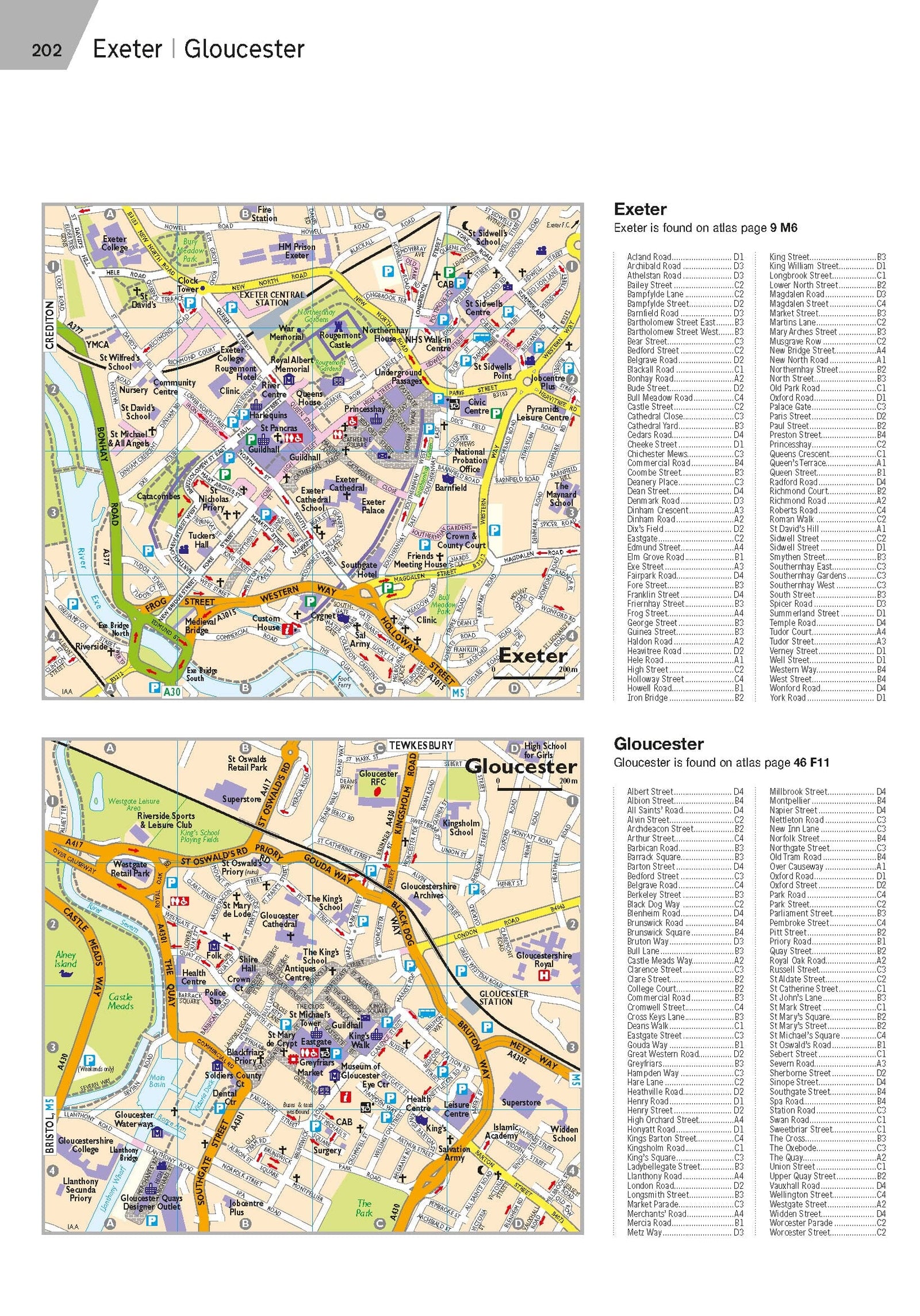
  • 112 city, town, port and airport plans.
  • 10 pages of central London street maps with an index.
  • A full-colour map of county, unitary and administrative areas.
  • A comprehensive 31,500-entry index, including airports, major tourist sites and motorway services.
  • Scenic routes, more than 1,800 golf courses and the top 300 AA-inspected caravan and camping sites marked on the maps.

Motorway maps, ferry-planning information and five district maps provide essential information for driving around the country.


ISBN/EAN : 9780749584009
Publication date: 2024
Pagination: 328 pages
Language(s): English
Weight: 1135 g