Hiking map - Arran & Arran Coastal Way XT25 | Harvey Maps - Superwalker maps

Price
Regular price £1595
Regular price Sale price £1595
/
  • In stock in France and in the UK
    Shipped within 24 to 48h from the warehouse closest to you
  • Free returns (*)
  • Real-time stock levels
  • Cartovia Guarantee – Delivery issue?
    We resend immediately upon receiving a simple photo.
  • In stock, ready to ship
  • Backordered, shipping soon
Tax included.

Frequently bought together:

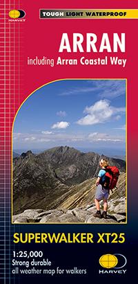
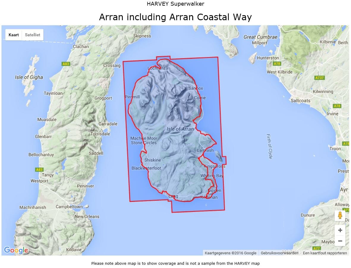
This map by Harvey Maps covers Arran & Arran Coastal Way.

Scale: 1:25,000.

Features the renowned Goat Fell, A'Chir ridge, Beinn Bharrain, Glen Sannox & Glen Rosa.

Detailed map for hillwalkers of the whole island.

The 100 km (62 miles) Arran Coastal Way is also shown. The route links the coastline of the island with the villages and the stunning scenery Arran has to offer.

Includes Gaelic-English glossary and information on local archaeological and historical sites.

Landscape and wildlife information from the National Trust for Scotland.

Includes 4 Corbetts and 1 Graham.

  • Waterproof.

The collection offers maps of regions in England, Wales and Scotland.


ISBN/EAN : 9781851375264
Publication date: 2014
Scale: 1/25,000 (1cm=250m)
Printed sides: both sides
Folded dimensions: 11.6 x 24.3cm
Unfolded dimensions: 48.6 x 140cm
Language(s): English
Weight: 70 g