Carte de trekking - Circuit des Annapurnas (NA504) | Himalayan MapHouse carte de randonnée Himalayan MapHouse

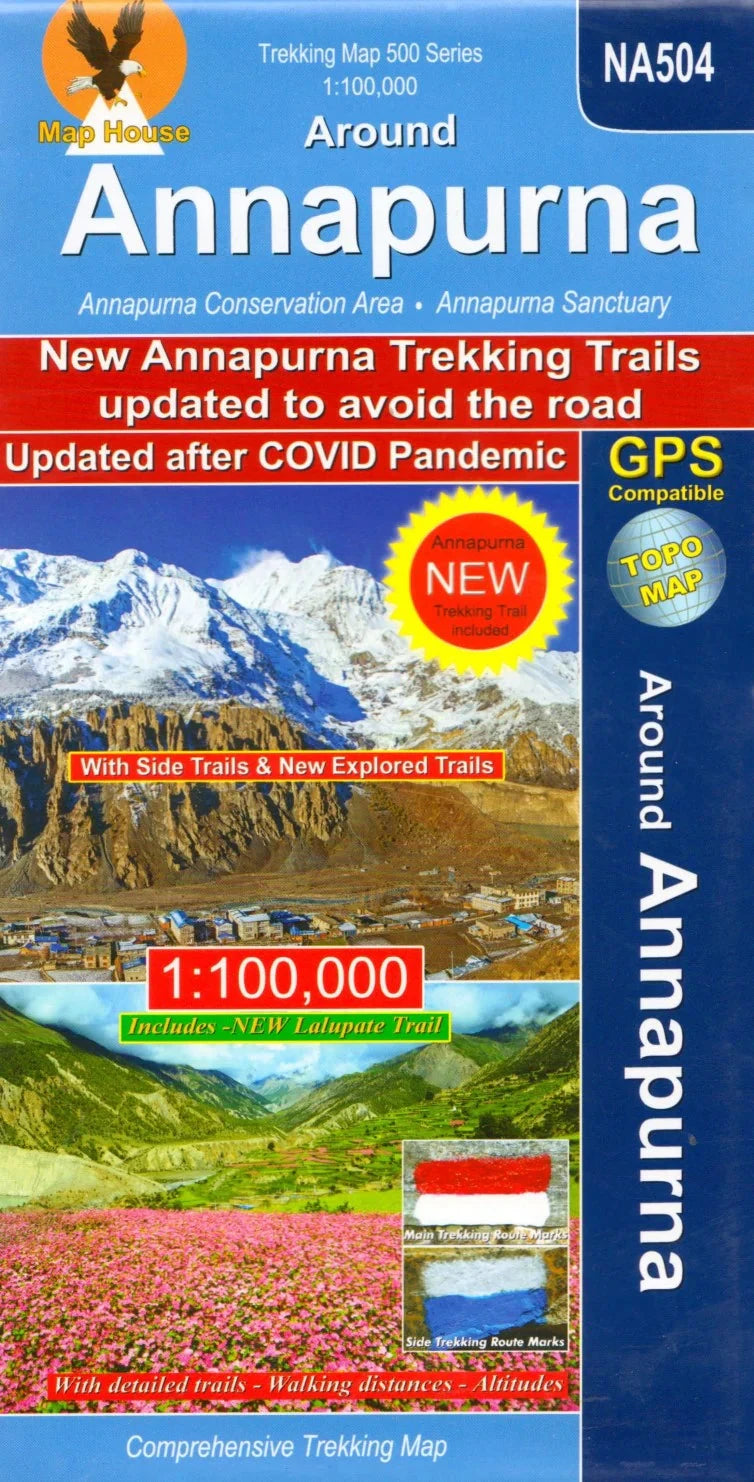
Trekking map - Annapurna Circuit (NA504) | Himalayan MapHouse

Price
Regular price £1900
Regular price Sale price £1900
/
  • Shipped within 24 to 48h from our warehouse in the USA
  • All-inclusive price: customs duties are already paid by Cartovia
  • Free returns (*)
  • Real-time stock levels
  • Cartovia Guarantee – Delivery issue?
    We resend immediately upon receiving a simple photo.
  • In stock, ready to ship
  • Backordered, shipping soon
Tax included.

Frequently bought together:

The 1:100,000 Nepa Maps Annapurna Circuit map covers this renowned route in its entirety. It is intended for both independent trekkers and guided expeditions in this region of Nepal.

  • Main circuit and alternatives via the Tilicho lakes and Naar.
  • Treks to Machhapuchhre Base Camp and Annapurna South Base Camp.
  • Climbing routes to Chulu East and West, Pisang Peak and Singu Chuli (Fluted Peak).
  • Coverage from Pokhara to Muktinath and Kagbeni in the north, extended north-east to Phugaon (Phu Gaon) and the ascent of Himlung Himal.
  • Contour lines every 80 m; latitude and longitude marks at 5-minute intervals in the margins.
  • Index of villages, peaks, passes and lakes.
  • Elevation profile of the full circuit.
  • Stage-by-stage tables with elevations in metres and feet and estimated walking times.


ISBN/EAN : 9789937783354
Publication date: 2024
Scale: 1/100,000 (1cm=1km)
Folded dimensions: 9.45 x 4.72 inch / 24 x 12cm
Unfolded dimensions: 38.58 x 26.77 inches / 98 x 68cm
Language(s): English
Weight: 3.5 oz