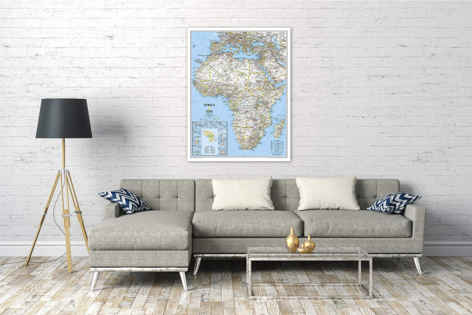
Laminated Wall Map - Political Africa, Antique Style - 61 x 78 cm | National Geographic

Price
Regular price £2600
Regular price Sale price £2600
/
  • Shipped within 24 to 48h from our warehouse in France
  • All-inclusive price: customs duties are already paid by Cartovia
  • Real-time inventory
  • Cartovia Guarantee – Delivery issue?
    We resend immediately upon receiving a simple photo.
  • In stock, ready to ship
  • Backordered, shipping soon
Tax included.

Often purchased together:

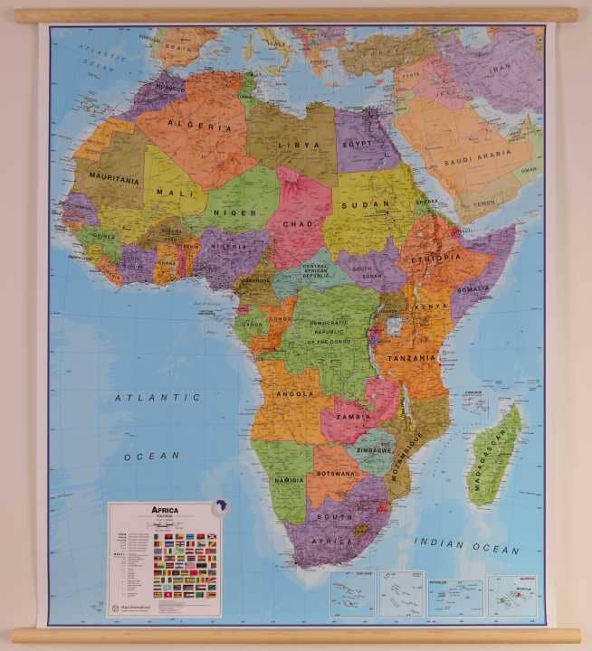
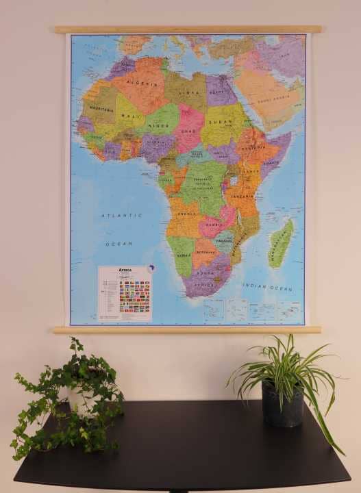
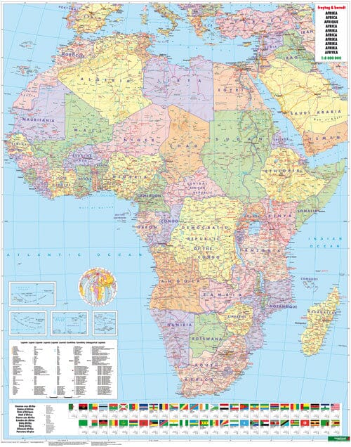
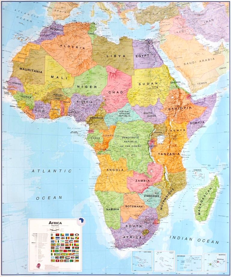
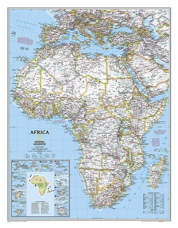
This laminated political wall map of Africa from National Geographic features an elegant antique-style colour palette. It combines clearly defined international boundaries, shaded relief and easy-to-read place names.

The map also shows major infrastructure and many natural features, including bodies of water, sand areas, lava fields, marshes, dry salt lakes and areas below sea level. An inset on climate and terrain, along with insets of island nations, completes the mapping.

  • Dimensions: 61 x 78 cm
  • Finish: laminated
  • Style: antique


ISBN/EAN : 9781597752596
Publication date: 2015
Scale: 1:14,244,000 (1 cm = 142 km)
Folded dimensions: 61 x 78cm / 24.02 x 30.71in
Language(s): English
Weight: 209 g