Yorkshire Dales outdoor atlas | Harvey Maps - Outdoor atlas

Price
Regular price £995
Regular price Sale price £995
/
  • In stock in France and in the UK
    Shipped within 24 to 48h from the warehouse closest to you
  • Free returns (*)
  • Real-time stock levels
  • Cartovia Guarantee – Delivery issue?
    We resend immediately upon receiving a simple photo.
  • In stock, ready to ship
  • Backordered, shipping soon
Tax included.

Frequently bought together:

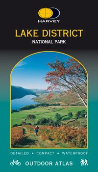
Maps of the whole Yorkshire Dales National Park in a practical book.

This spiral-bound atlas is waterproof for outdoor use. Although not tear-proof, its pages are printed on latex-impregnated paper that makes them waterproof. If your outdoor atlas gets wet, simply hang it up to dry naturally.

The detailed mapping is suitable for walkers, cyclists and other outdoor enthusiasts, and provides a useful reference for residents and visitors. The book is conveniently sized for carrying in a map case or bicycle map holder.

The national grid is included, and the atlas can be used with a GPS.


ISBN/EAN : 9781851374953
Publication date: 2004
Scale: 1/40,000 (1cm=400m)
Folded dimensions: 14.6 x 23.9cm
Language(s): English
Weight: 82 g