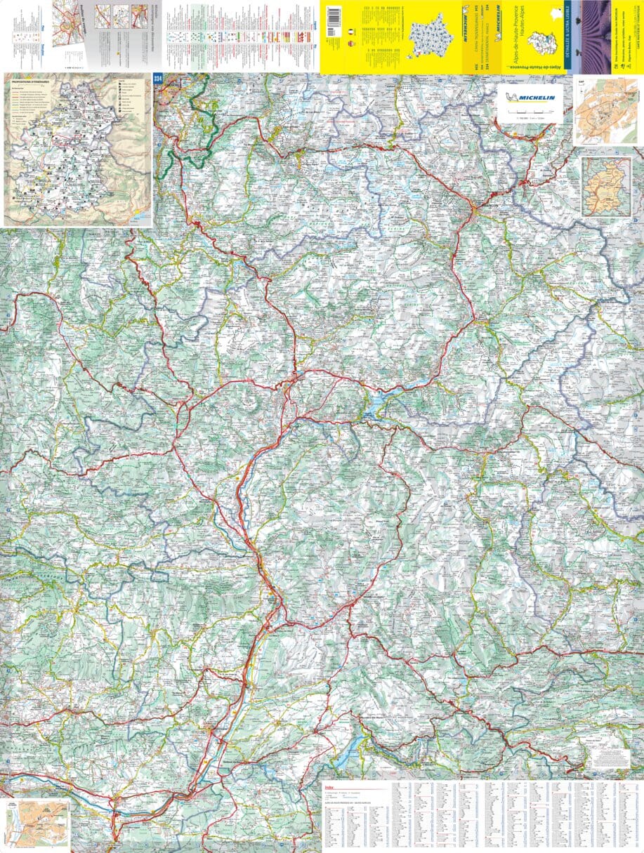
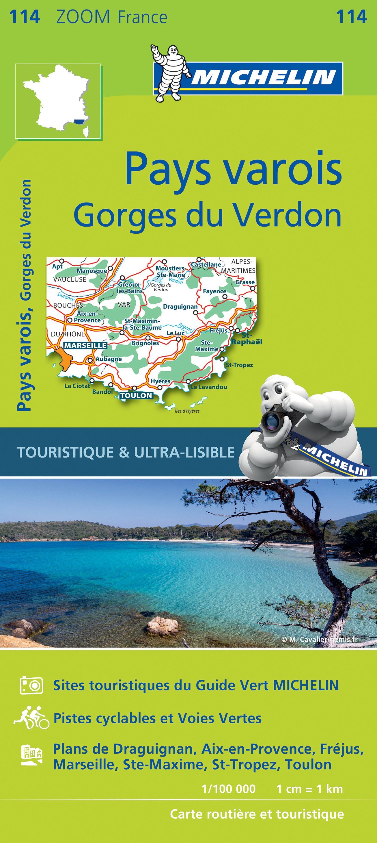
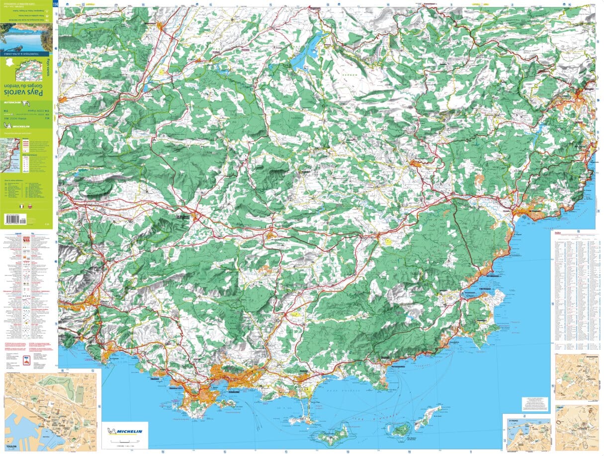
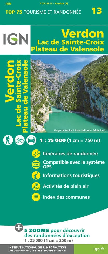
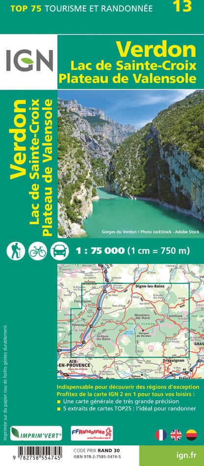
Topographic map - Haute-Ubaye: Around the Chambeyron Massif | FFRandonnée

Price
Regular price £1200
Regular price Sale price £1200
/
  • Ships within 5 to 8 working days
    (Currently in transit to our warehouse in France)
  • Cartovia Guarantee – Delivery issue?
    We resend immediately upon receiving a simple photo.
Tax included.

Often purchased together:

Embark on an athletic journey in the heart of Haute-Ubaye with this FFRandonnée topographical map. It offers 3 loops of 3 to 5 days around the Chambeyron massif, the highest point in the Alpes-de-Haute-Provence at 3,412 m altitude.

🥾 3 athletic hiking itineraries

The routes, with lengths between 25 and 83 km, cross the valleys of Haute-Ubaye and Ubayette in France, as well as those of Maïra and Stura in Italy. They offer high-mountain landscapes mixing alpine pastures, mineral reliefs, and high-altitude lakes.

📍 Features

  • 3 itineraries of 3 to 5 days
  • Distances from 25 to 83 km
  • New insert with a list of accommodations
  • Reinforced weather-resistant paper support
  • Compact format, ideal for touring
  • Compatible with the guidebook Les Alpes-de-Haute-Provence… à pied


ISBN / EAN : 9782751414206
Date de publication : 2026
Echelle : 1/40,000 (1 cm = 400 m)
Impression: both sides
Dimensions plié(e) : 25 x 10.7 x 0.3 cm
Langue : French
Poids : 80 g