Road map - East Tyrol & Carinthia (Austria) | Freytag & Berndt

Price
Regular price £1200
Regular price Sale price £1200
/
  • Free returns (*)
  • Real-time stock levels
  • Cartovia Guarantee – Delivery issue?
    We resend immediately upon receiving a simple photo.
  • In stock, ready to ship
  • Backordered, shipping soon
Tax included.

Frequently bought together:

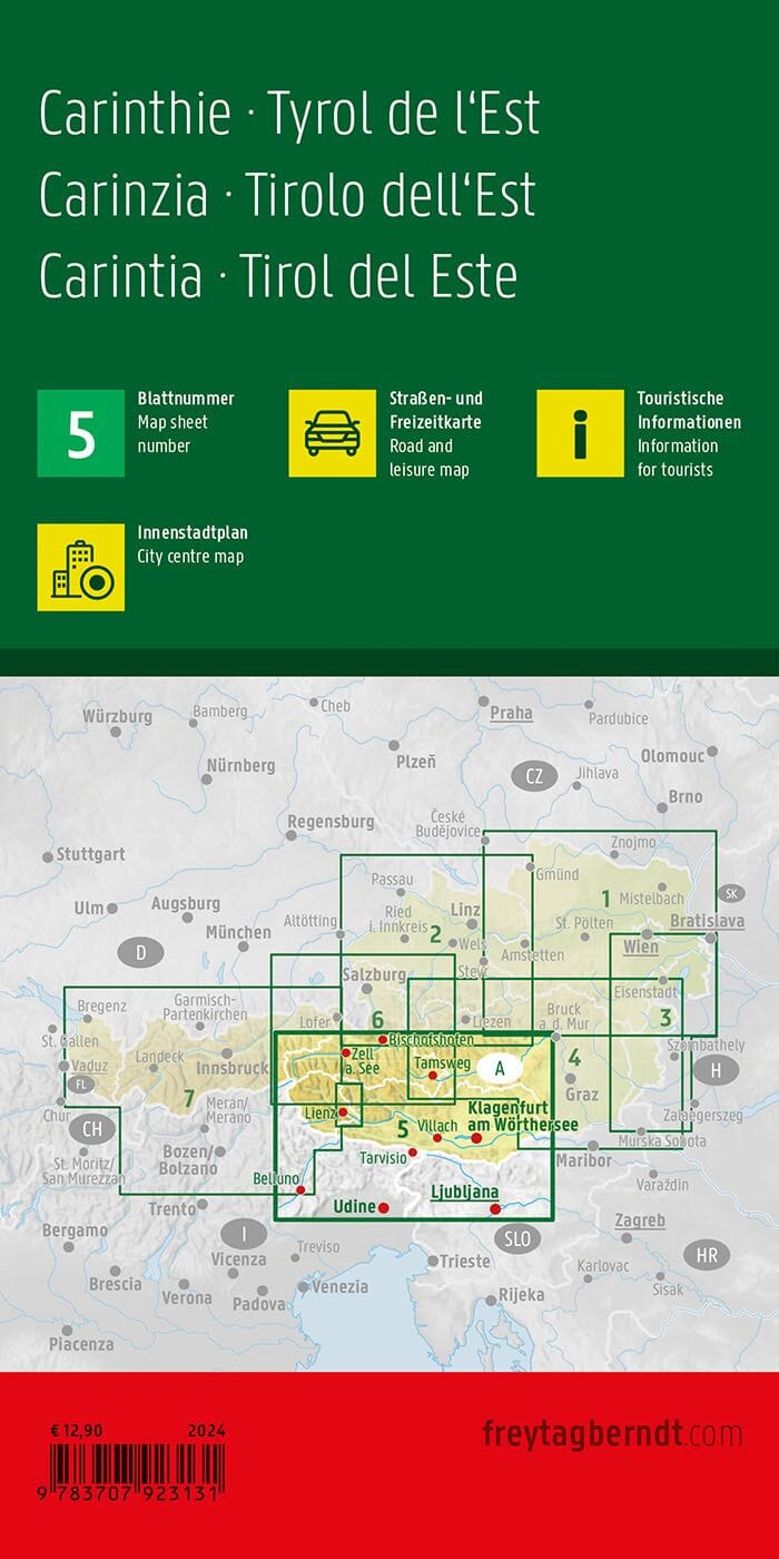
Prepare your trip to Carinthia and East Tyrol with this Freytag & Berndt road map at a scale of 1:200,000. Ideal for travel by car, motorcycle, or motorhome, it offers precise mapping of the road network as well as extensive tourist information.

🗺️ Precise mapping for travel

This map covers all of Carinthia (Kärnten) and East Tyrol (Osttirol), two Alpine regions renowned for their mountains, lakes, and scenic routes.

📍 Map Information

  • Scale: 1:200,000
  • Detailed road network
  • Tourist information
  • Campsites and parking areas
  • Index of localities with postcodes
  • Detailed maps of Klagenfurt am Wörthersee and Lienz

🚗 Ideal for touring trips

This map is perfectly suited for motorists, motorcyclists, motorhome and caravan users wishing to explore the Austrian Alps. Its clear mapping facilitates route planning and on-the-ground navigation.


ISBN/EAN : 9783991546771
Publication date: 2026
Scale: 1/200,000 (1cm=2km)
Printed sides: front
Folded dimensions: 25.6 x 13 x 0.8cm
Unfolded dimensions: 132 x 96cm
Language(s): French, English, German
Weight: 130 g