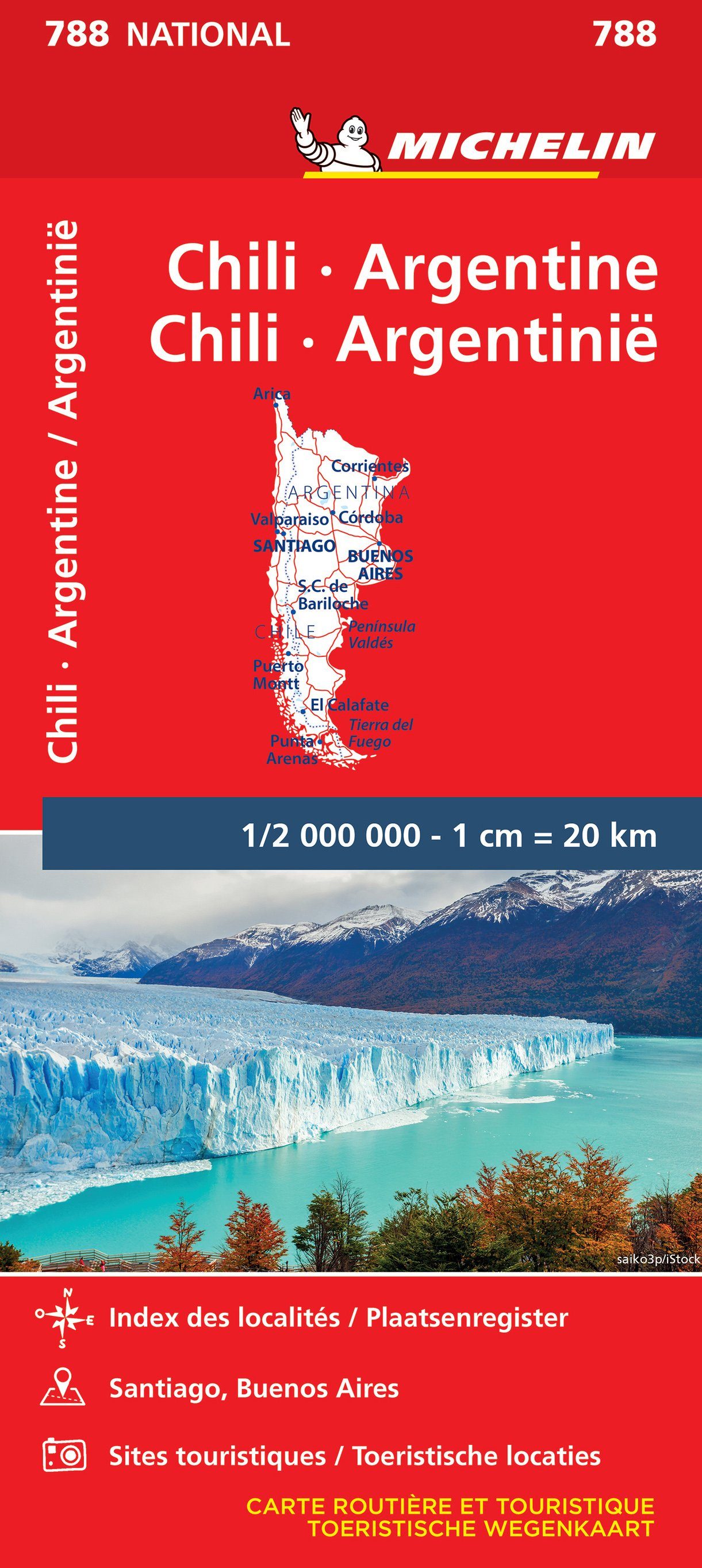
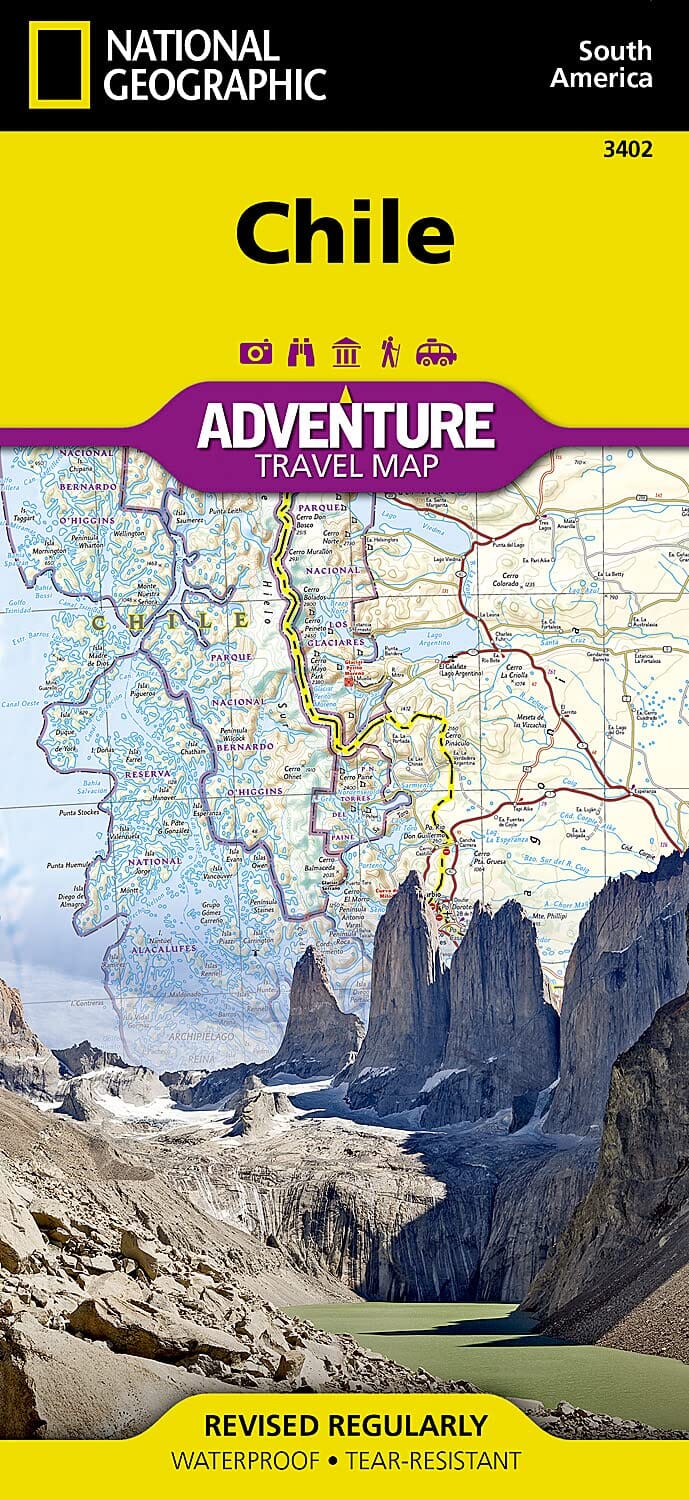
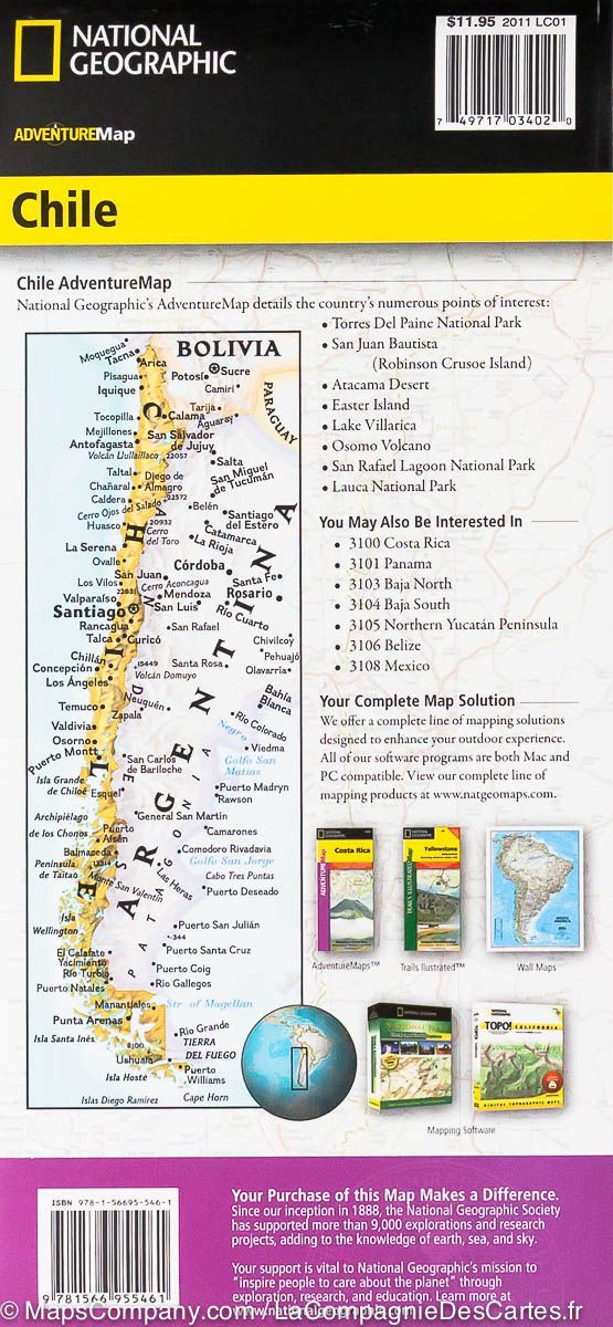
Adventure Map of Central Chile & Argentina | Trekking Chile
Regular price
£2300
Regular price
Sale price
£2300
/
- Shipped within 24 to 48h from our warehouse in the USA
- All-inclusive price: customs duties are already paid by Cartovia
- Free returns (*)
- Real-time stock levels
-
Cartovia Guarantee – Delivery issue?
We resend immediately upon receiving a simple photo.
- Low stock - 2 items left