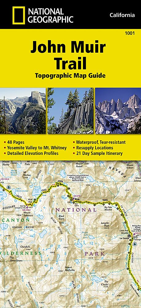
Pack de cartes des sentiers de John Muir | Tom Harrison Maps carte de randonnée Tom Harrison Maps

John Muir trail map pack | Tom Harrison Maps

Price
Regular price £1699
Regular price Sale price £1699
/
  • In stock in the USA and in the UK
    Shipped within 24 to 48h from the warehouse closest to you
  • Free returns (*)
  • Real-time stock levels
  • Cartovia Guarantee – Delivery issue?
    We resend immediately upon receiving a simple photo.
  • In stock, ready to ship
  • Backordered, shipping soon
Tax included.

Frequently bought together:

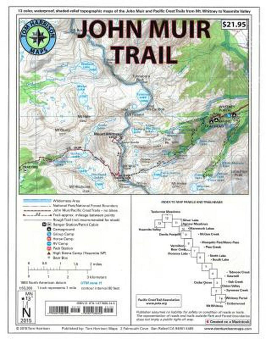
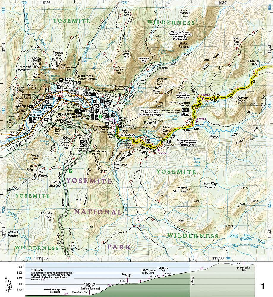
This John Muir trail map pack from Tom Harrison uses USGS topographic bases enhanced with shaded relief and clearly marked trails. The description identifies it as a set of Sierra High Route maps, from Mount Whitney to Yosemite, California.

Locations mentioned include Whitney Portal, Symmes Creek, Onion Valley, Oak Creek, Taboose Creek, North Lake and South Lake, Vermilion, Bear Creek, Florence Lake, Pine Creek, Mono Pass, McGee Creek, Devils Postpile, Mammoth Lakes, Agnew Meadows, Silver Lake, Tuolumne Meadows and Yosemite Valley.

  • Scale: 1:63,360, or 1 inch to 1 mile.
  • GPS-compatible with a full UTM grid.


ISBN/EAN : 9781877689345
Publication date: 2019
Folded dimensions: 11.02 inches x 9.060 inches (28 x 23 cm)
Unfolded dimensions: 10.24 inches x 8.27 inches ( cm)
Language(s): English
Weight: 110 g