Geographical wall map - Tibet - 124 x 84 cm | Gizi Map

Price
Regular price £7300
Regular price Sale price £7300
/
  • Made-to-order product – Ships within 7 to 10 business days from our workshop to mainland France, Belgium, Germany, Luxembourg and the Netherlands. Other countries: please contact us for a shipping quote.
  • Shipping method and fees are shown at checkout
Tax included.

Often purchased together:

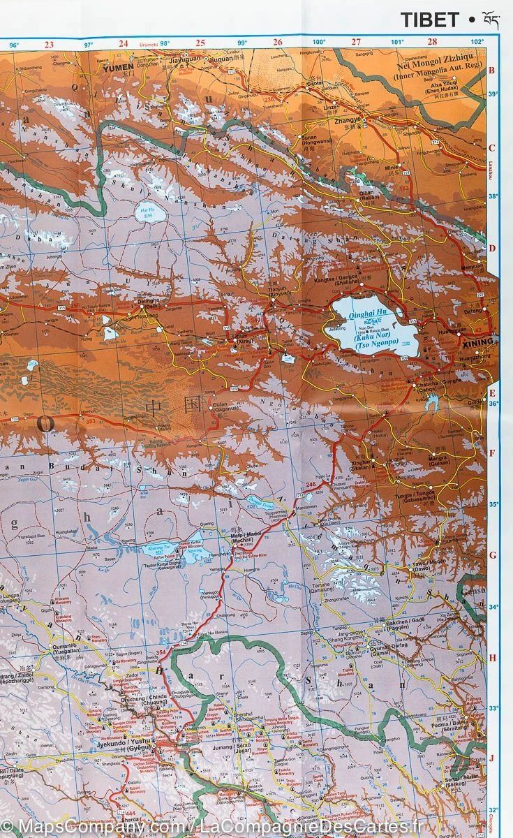
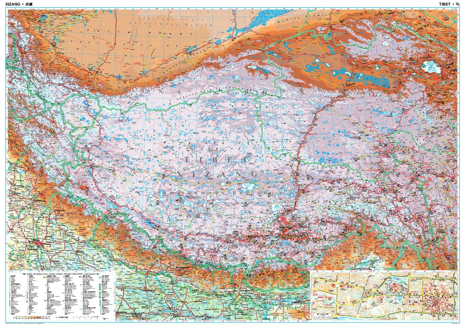
This geographical wall map of Tibet, published by Gizi Map, is at a scale of 1:2,000,000 and measures 124 x 84 cm.

Elevations are shown in colour. Settlements appear in Tibetan and Chinese transliteration using the Latin alphabet, with Chinese names for major cities.

The road network is classified into 7 categories and distances are shown. The map also includes railway lines, local airports and Tibet's administrative divisions.

Symbols locate UNESCO sites, temples, natural wonders and other points of interest. An index on the reverse also lists tourist sites, and a map of central Lhasa and Norbulingka completes the map.

The legend is multilingual: English, Chinese and Tibetan.


ISBN/EAN : GIZIP.CN.5G
Publication date: 2024
Scale: 1/2,000,000 (1cm = 20km)
Printed sides: front
Unfolded dimensions: 124 x 84 cm
Language(s): French, English, German
Weight: 230 g