Newfoundland & Labrador NL MapBook | Backroads Mapbooks

Price
Regular price £1999
Regular price Sale price £1999
/
  • In stock in the USA and in the UK
    Shipped within 24 to 48h from the warehouse closest to you
  • Free returns (*)
  • Real-time stock levels
  • Cartovia Guarantee – Delivery issue?
    We resend immediately upon receiving a simple photo.
  • In stock, ready to ship
  • Backordered, shipping soon
Tax included.

Frequently bought together:

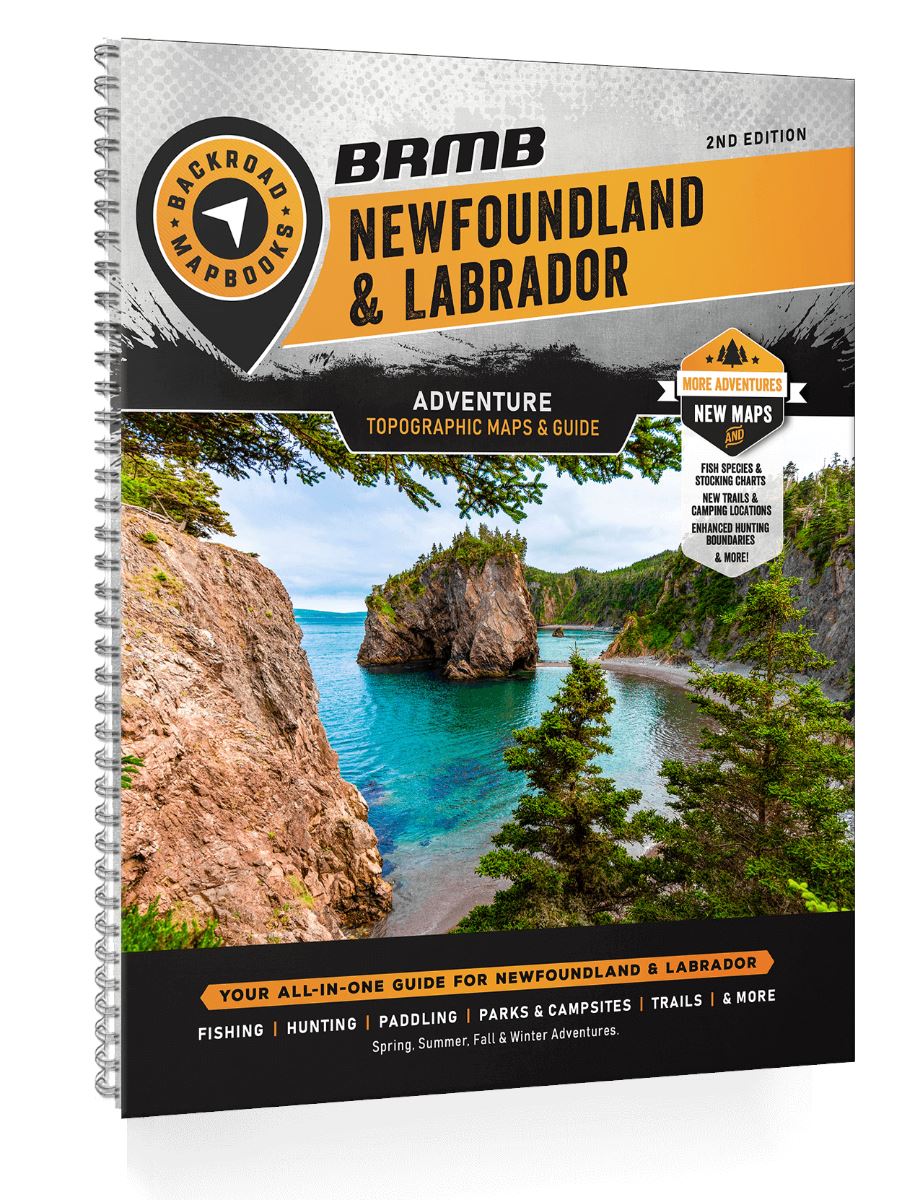
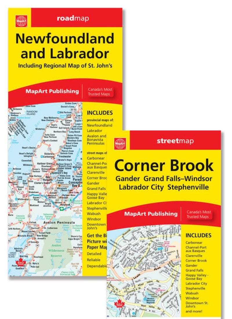
Backroad Mapbooks maps the distinctive landscapes of Newfoundland and Labrador, Canada's easternmost province. The first edition of its Newfoundland and Labrador Backroad Mapbook covers the entire Atlantic province, from mainland Labrador to the island of Newfoundland.

Explore St. John's, one of North America's oldest cities, with European history dating to the 16th century, and Cape Spear, the continent's easternmost point. The province is also home to Gros Morne National Park, a UNESCO World Heritage Site where the Earth's mantle is exposed among dramatic cliffs and glacial valleys.

Map features

  • Highways, logging roads, land and forest areas.
  • Water features, parks and adventure points of interest.
  • Campgrounds, hiking trails and motorized trails.
  • Canoeing routes, hunting and camping areas.
  • Fishing areas, winter recreation and more.

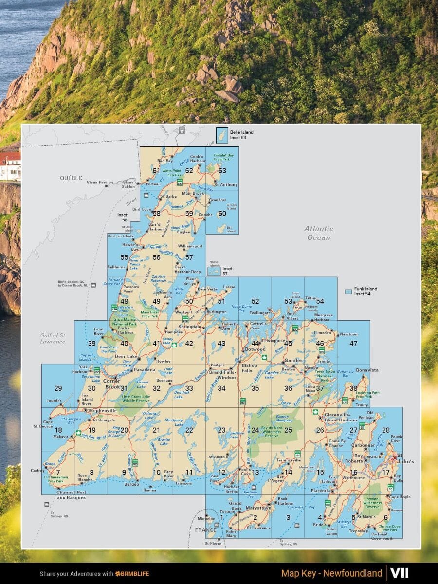
Areas covered: Bay Roberts, Carbonear, Clarenville-Shoal Harbour, Channel-Port aux Basques, Conception Bay, Corner Brook, Gander, Grand Falls-Windsor, Gros Morne, Happy Valley-Goose Bay and Labrador.


ISBN/EAN : 9781989175231
Publication date: 2023
Pagination: 192 pages
Scale: 1/250,000
Unfolded dimensions: 11 inches x 8.5 inches (27 x 21 cm)
Language(s): English
Weight: 0 g