Hiking map - Vignemale massif & Bujaruelo Valley (Aragonese Pyrenees) | Alpina

Price
Regular price £1400
Regular price Sale price £1400
/
  • Shipped within 24 to 48h from our warehouse in France
  • All-inclusive price: customs duties are already paid by Cartovia
  • Free returns (*)
  • Real-time stock levels
  • Cartovia Guarantee – Delivery issue?
    We resend immediately upon receiving a simple photo.
  • In stock, ready to ship
  • Backordered, shipping soon
Tax included.

Frequently bought together:

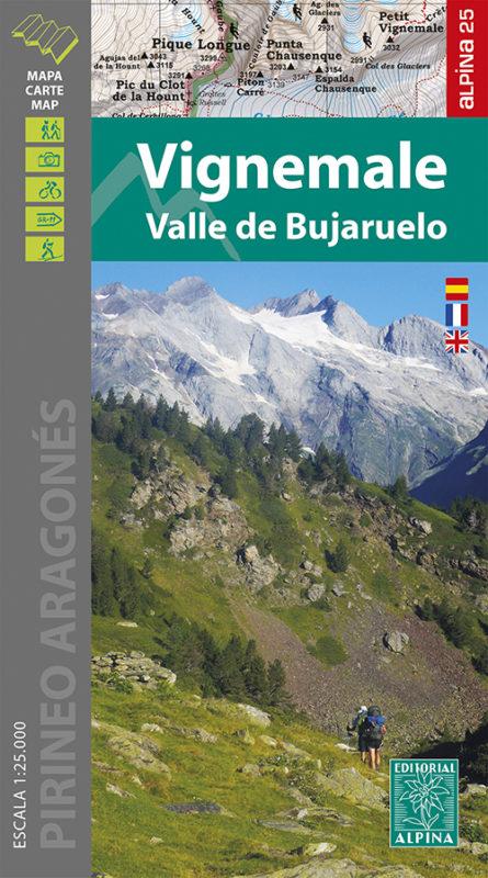
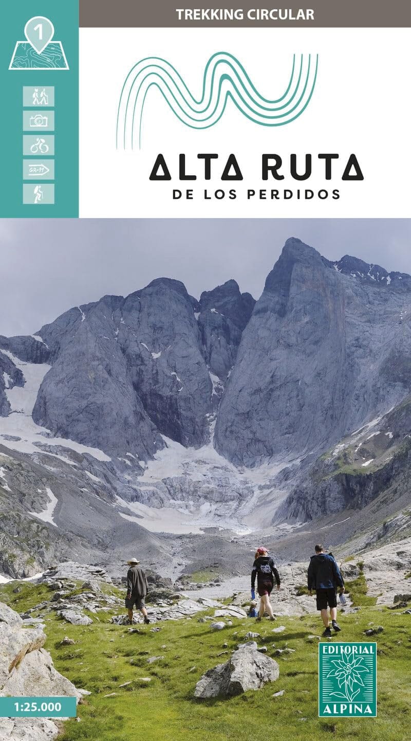
Detailed topographic map of the Vignemale massif and Bujaruelo Valley.

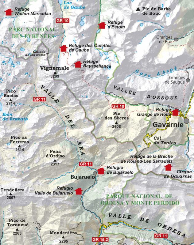
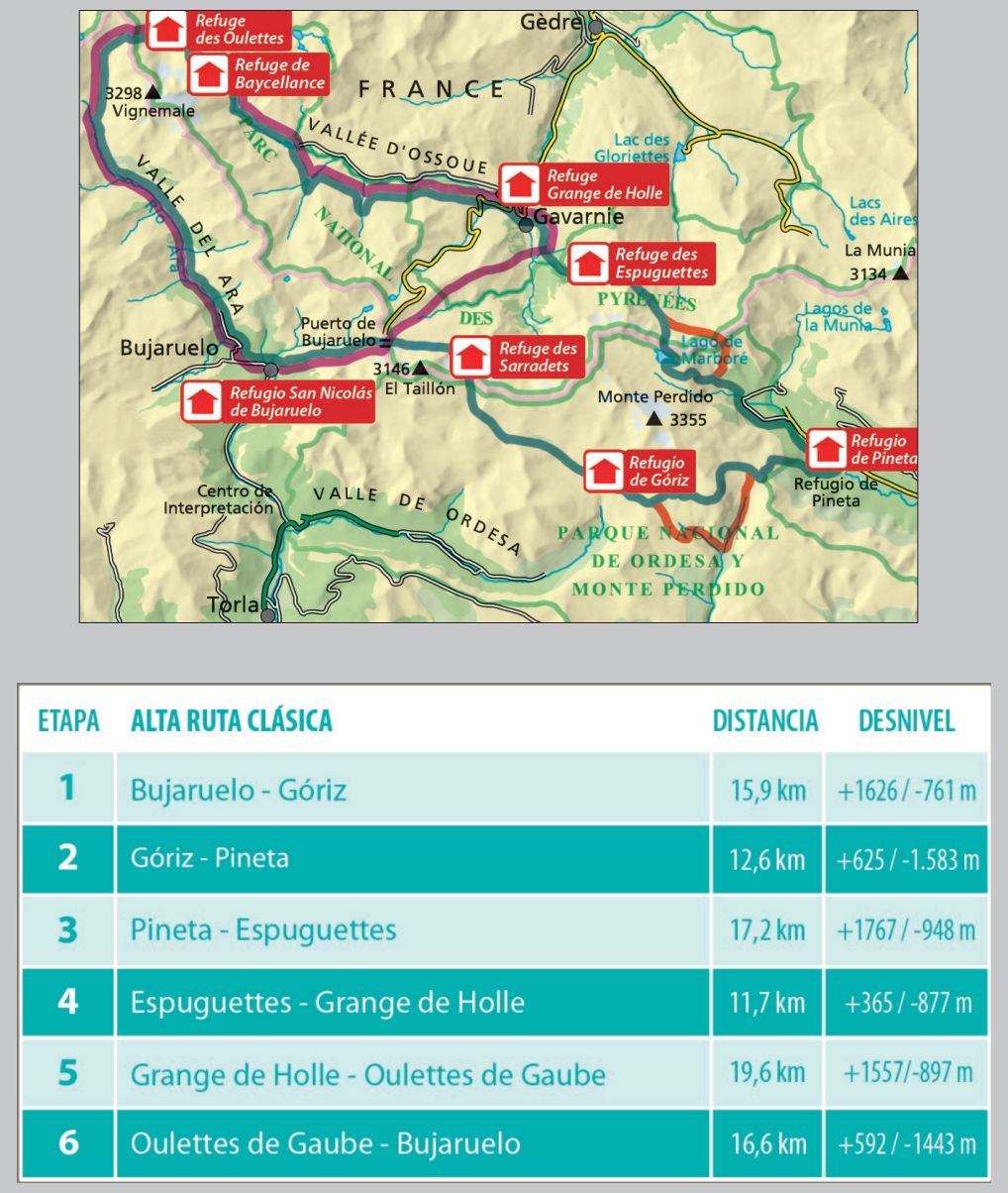
Coverage: the Aragonese Pyrenees, the Vignemale massif, and the Bujaruelo, Ordesa, Ossoue, Gaube and Gavarnie valleys. The map includes part of the Pyrenees National Park.

Published by Editorial Alpina, the detailed colour map includes contour lines and shows waymarked routes (GR and PR), paths, mountain huts, waterfalls and more.

The map comes with a folder containing:

  • Mountain huts.
  • Hikes.
  • National park information.
  • Top 10 points of interest.

Scale: 1:25,000 (1 cm = 250 m).


ISBN/EAN : 9788480908702
Publication date: 2021
Scale: 1/25,000 (1cm=250m)
Printed sides: front
Folded dimensions: 21 x 11.5 x 1cm
Unfolded dimensions: 68x98cm
Language(s): French, Castilian, English
Weight: 156 g