Hiking map - Peña Oroel, San Juan de la Peña, Jaca & Canal de Berdún | Alpina

Price
Regular price £1600
Regular price Sale price £1600
/
  • Shipped within 24 to 48h from our warehouse in France
  • All-inclusive price: customs duties are already paid by Cartovia
  • Free returns (*)
  • Real-time stock levels
  • Cartovia Guarantee – Delivery issue?
    We resend immediately upon receiving a simple photo.
  • In stock, ready to ship
  • Backordered, shipping soon
Tax included.

Frequently bought together:

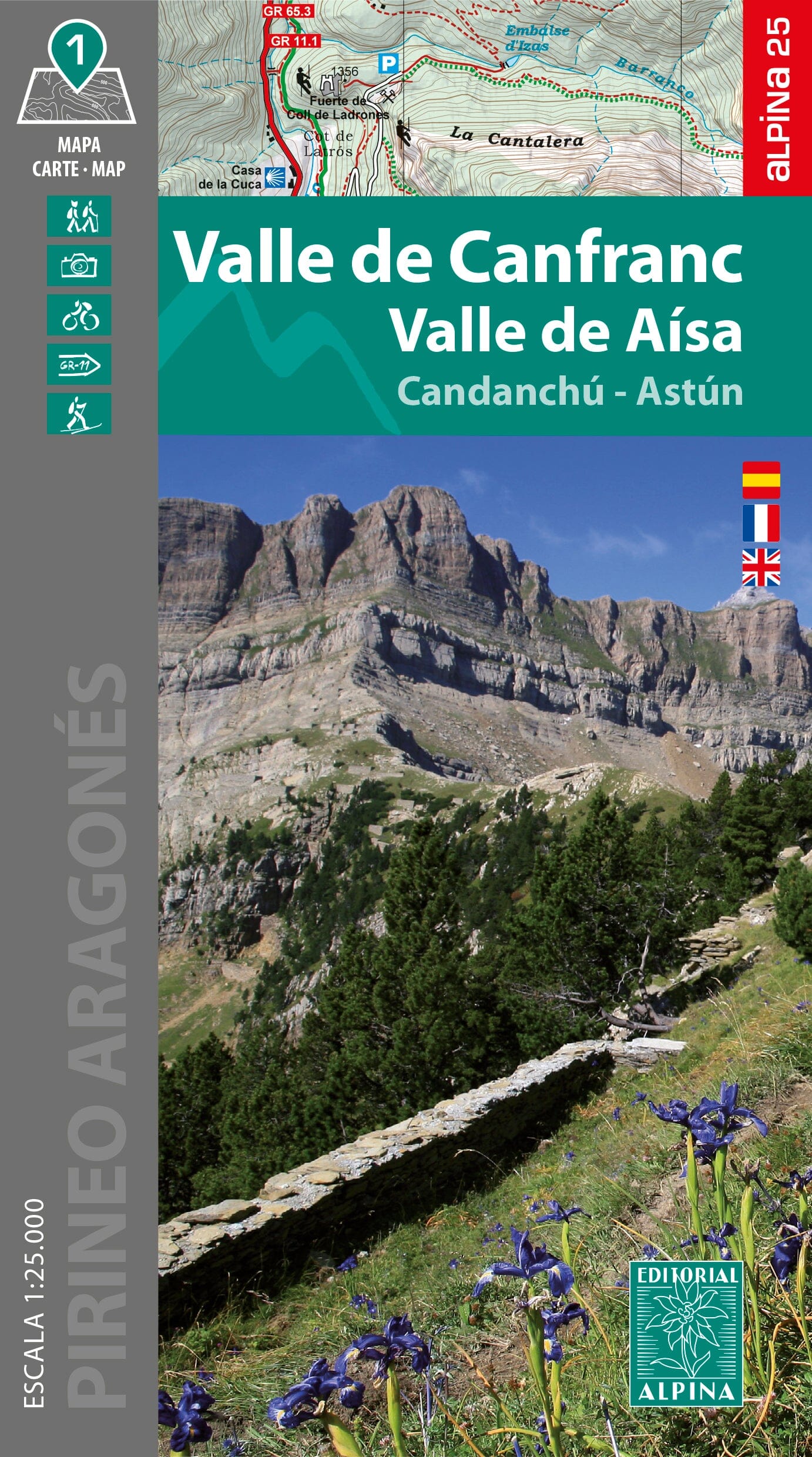
Explore the Aragonese Pre-Pyrenees with this Alpina topographic map covering a wide area around Jaca. Mountains, gorges, forests, historic sites and reservoirs make it an excellent aid for exploring the region on foot.

A map for exploring La Jacetania

The map covers the main natural and heritage sites of La Jacetania, including Jaca, San Juan de la Peña, Peña Oroel, Sierra de Santo Domingo, and the La Peña and Yesa reservoirs. It reveals a varied landscape of mountainous terrain, sierras, gorges and forests.

Mapping information

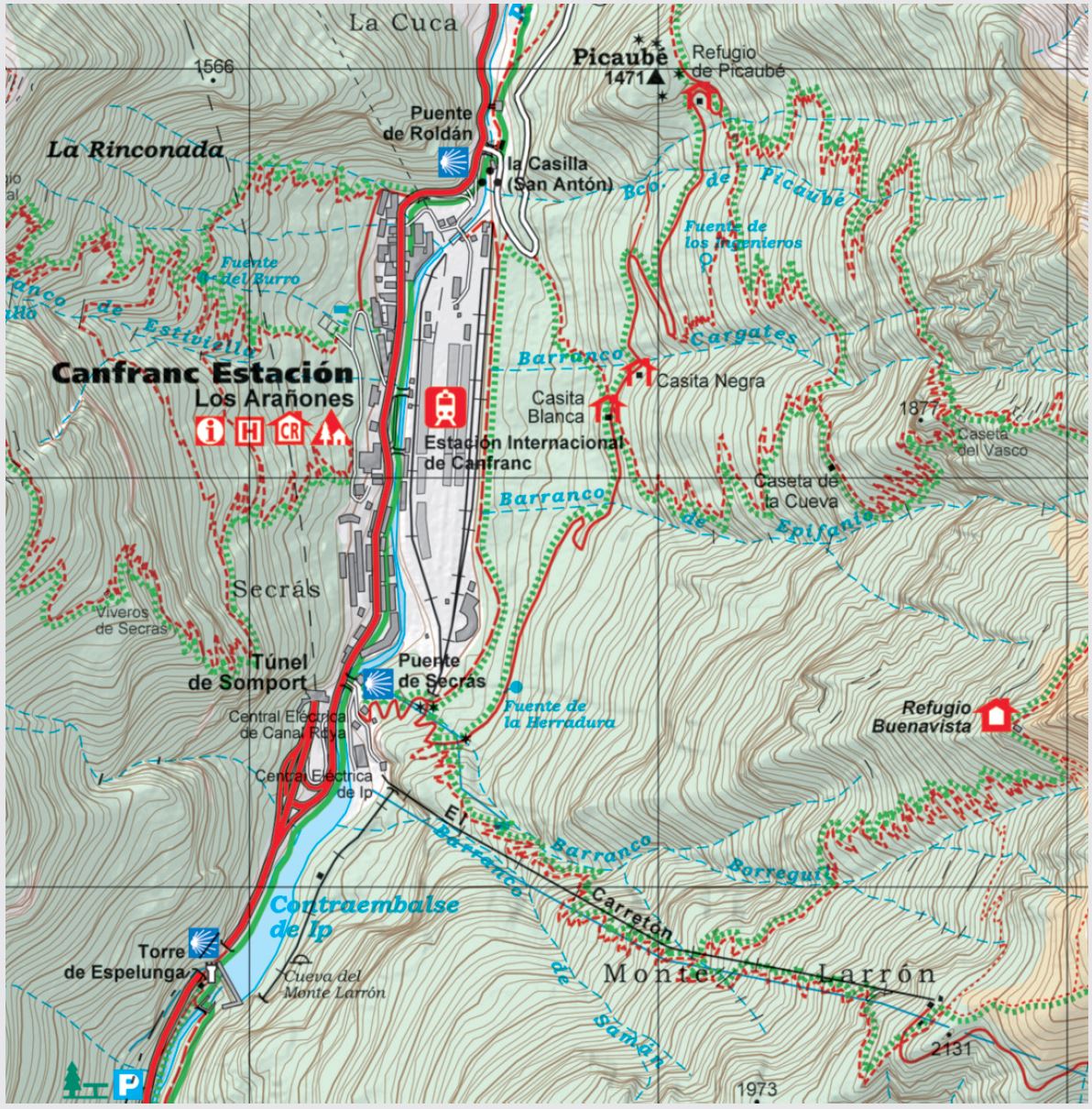
  • Two topographic maps at 1:40,000.
  • Waymarked GR and PR routes.
  • Trail network.
  • Caves.
  • Main points of interest.

The flap includes

  • Suggested routes.
  • Geographical information.


ISBN/EAN : 9788470112249
Publication date: 2026
Scale: 1/40,000 (1 cm = 400 m)
Printed sides: front
Folded dimensions: 21 x 12.5cm
Unfolded dimensions: 101 X 70 cm
Language(s): French, English, Castilian
Weight: 186 g