Hiking map & guide - The Pyrenees of Alta Garrotxa, Les Salines and Vallespir (Catalan Pyrenees) | Alpina

Price
Regular price £1400
Regular price Sale price £1400
/
  • Free returns (*)
  • Real-time stock levels
  • Cartovia Guarantee – Delivery issue?
    We resend immediately upon receiving a simple photo.
  • In stock, ready to ship
  • Backordered, shipping soon
Tax included.

Frequently bought together:

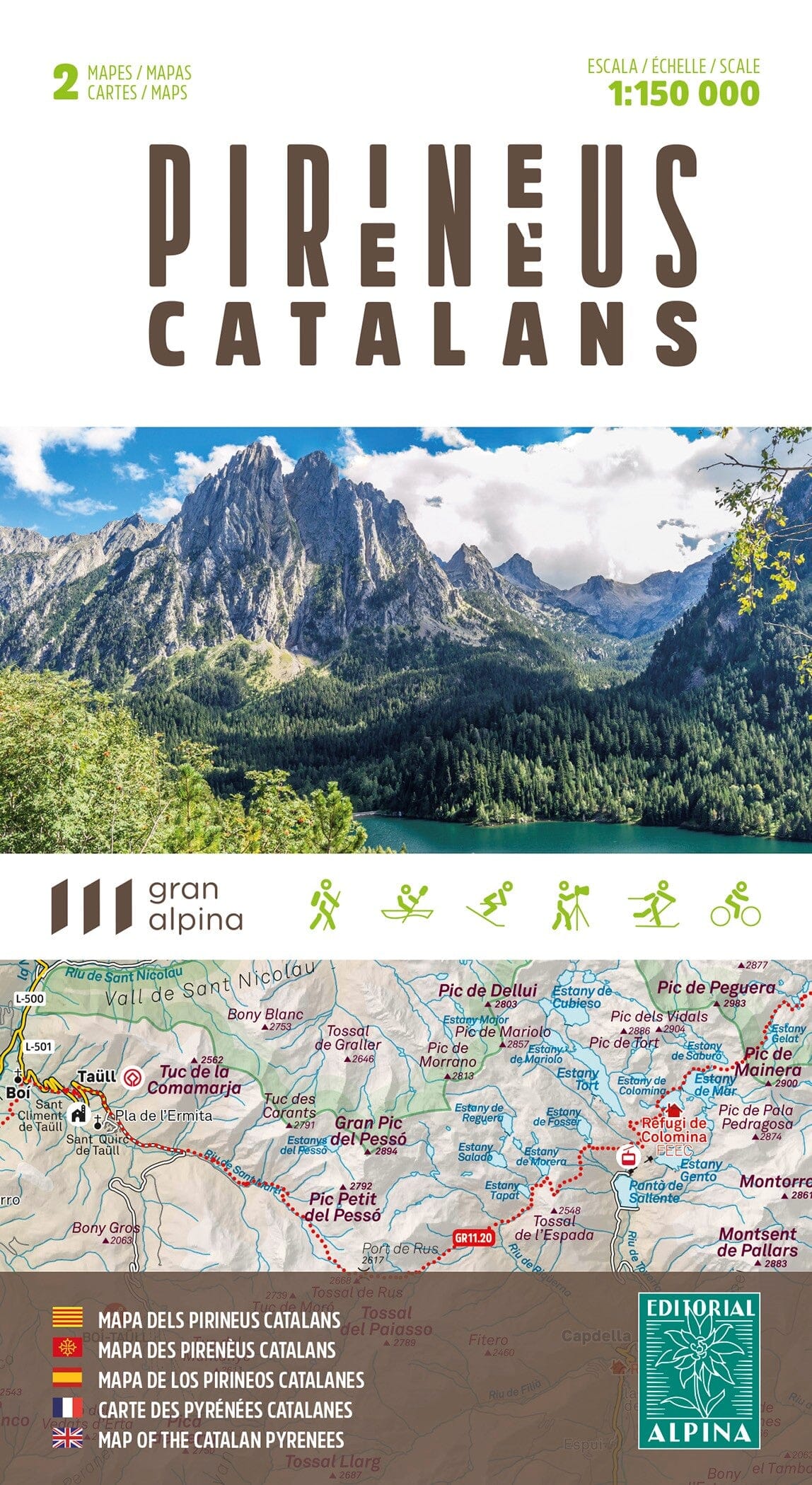
Hiking map of the Pyrenees of Alta Garrotxa, Les Salines and Vallespir, presented in a practical folder.

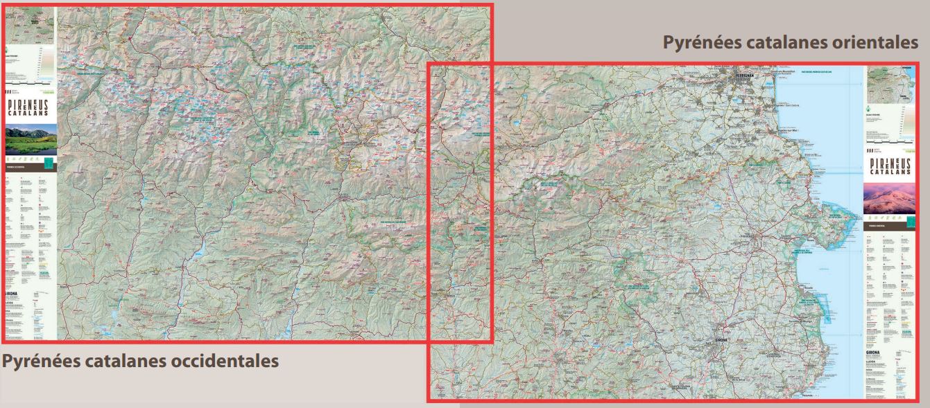
Coverage: the Catalan Pyrenees, Alta Garrotxa, the Salinas massif and Vallespir.

The 1:50,000 topographic map provides information for hikers: shelters, waymarked GR, PR and Itinerànnia trails, cross-border routes, mountain bike routes, summit ascents and more.

The guide includes:

  • Descriptions of eight cross-border routes.
  • Villages and places of interest.
  • Geographical and historical background.

Other features:

  • Contour interval: 20 m.
  • Index contour interval: 50 m.
  • Shaded relief.
  • GPS-compatible.
  • Waymarked routes.


ISBN/EAN : 9788480907996
Publication date: 2021
Scale: 1/50,000 (1cm=500m)
Printed sides: front
Folded dimensions: 21 x 12.5cm
Unfolded dimensions: 98 x 68cm
Language(s): French, Castilian, Catalan
Weight: 170 g