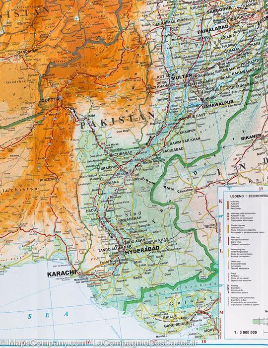
Laminated wall map - Syria & Lebanon (geographical) - 100 x 87 cm | Gizi Map

Price
Regular price £7000
Regular price Sale price £7000
/
  • Made-to-order product – Ships within 7 to 10 business days from our workshop to mainland France, Belgium, Germany, Luxembourg and the Netherlands. Other countries: please contact us for a shipping quote.
  • Shipping method and fees are shown at checkout
Tax included.

Often purchased together:

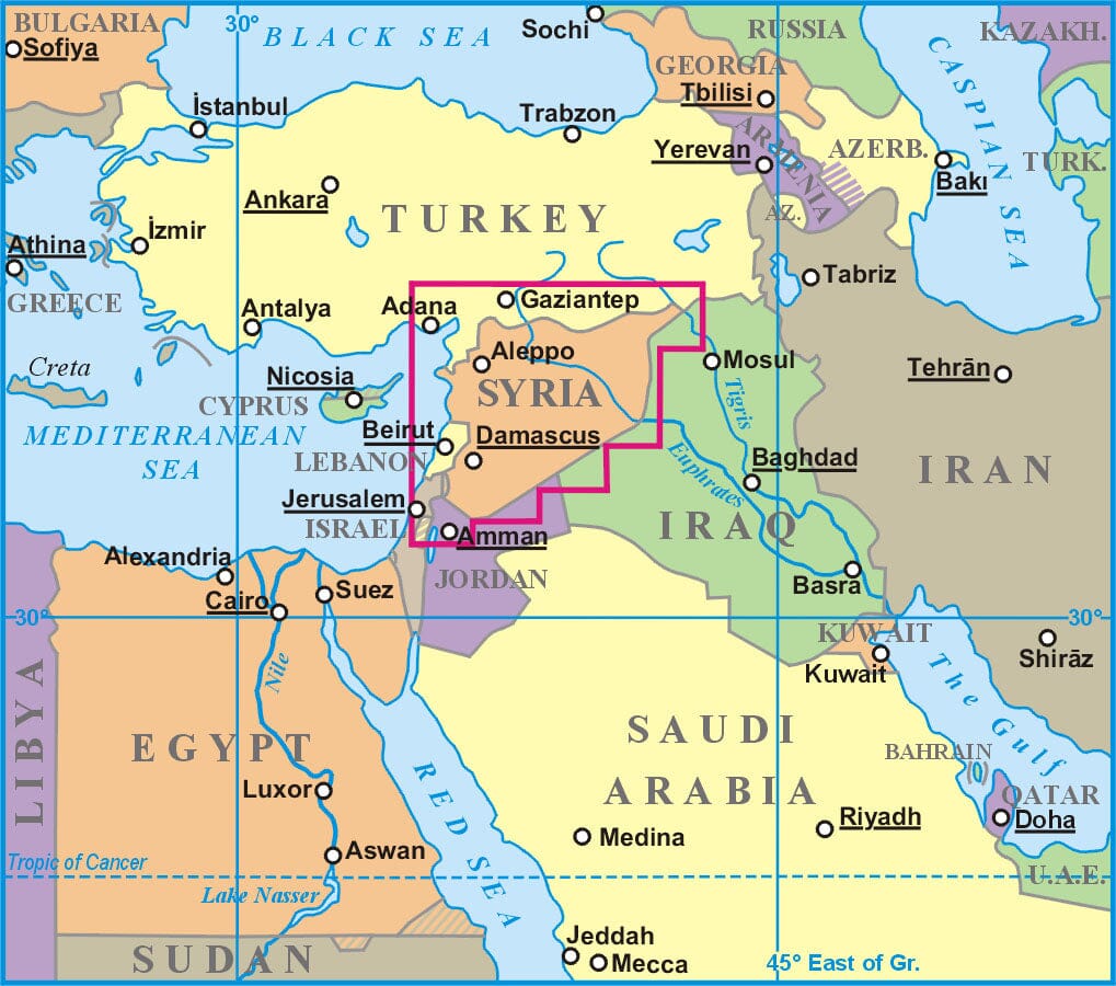
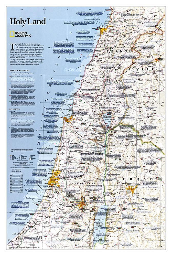
This laminated wall map of Syria and Lebanon, published by Gizi Map, is made from the original folded map and measures 100 x 87 cm.

The detailed map shows topography, the road network and oil and gas pipelines. Insets show the areas around Damascus and Aleppo, together with street plans of both cities.

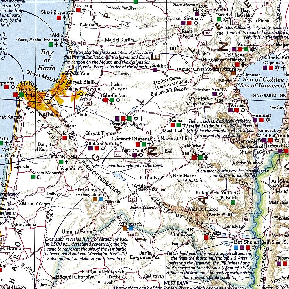
Coverage also includes Lebanon and border areas of neighbouring countries, extending south of Jerusalem and Amman. Local tracks, desert roads, railway lines, airports, points of interest and natural sites are shown. Syrian province names and major city names also appear in Arabic script.

A city index appears on the reverse, and the multilingual legend includes English and Arabic.

Lamination is carried out to order, so fold lines may remain slightly visible. The map is supplied rolled in a cardboard tube, and a few additional days are required for production. This product is made to order and cannot be returned.


ISBN/EAN : 9786155010118P
Publication date: 2023
Scale: 1:750,000 (1 cm = 7.5 km)
Printed sides: front
Unfolded dimensions: 100 x 87cm
Language(s): French, English, German
Weight: 280 g