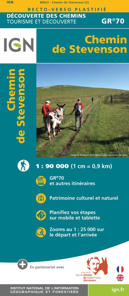
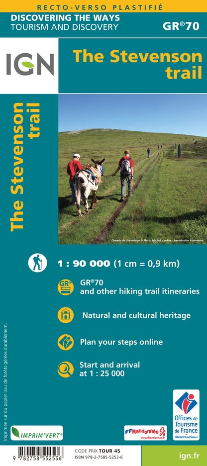
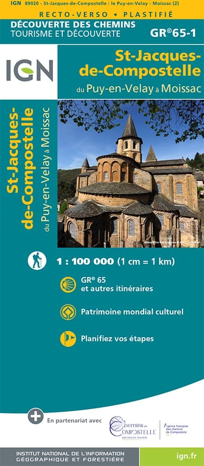
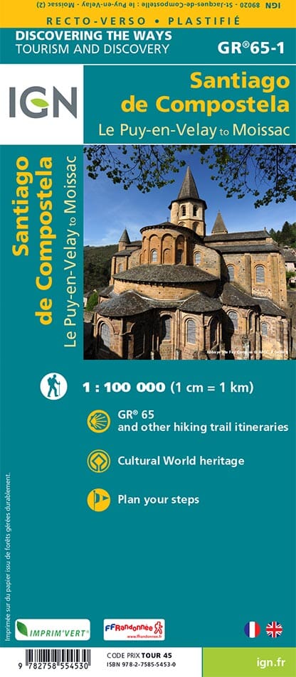
The essential hiking map! These highly accurate topographical maps contain all existing details on the terrain: transport routes down to the smallest path, buildings down to the shed, woods, isolated trees, rivers, springs... Not to mention the representation of the relief by contour lines.
Municipalities covered : Le Puy-en-Velay, Loudes, Vorey, Saint-Paulien, Chaspinhac, Saint-Jean-de-Nay, Coubon, Chadrac, Le Monteil, Brives-Charensac, Arsac-en-Velay, Vergezac, Aiguilhe, Lavoûte-sur-Loire, Vissac-Auteyrac, Sainte-Eugénie-de-Villeneuve, Siaugues-Sainte-Marie, Prades, Varennes-Saint-Honorat, Vazeilles-Limandre
Places to discover : Livradois-Forez Regional Natural Park, Peyramont, the Espaly Organs, Rocher Corneille, La Vesseyre, Château de St-Romain, Chapelle St-Roch, Château de la Rochelambert, Chapelle de Ste-Marie-des-Chazes, Château de Lavoûte-Polignac