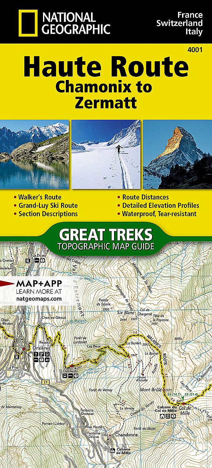
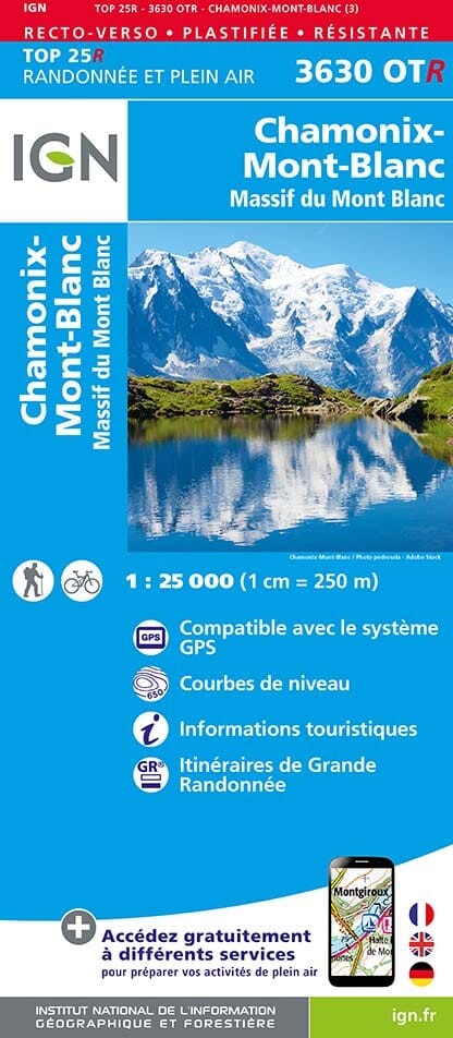
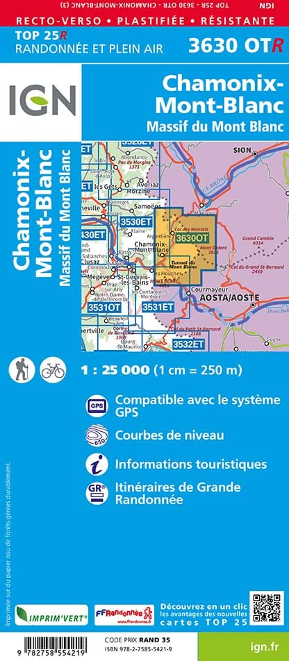
Hiking map booklet no. 4001 - Haute Route - Chamonix to Zermatt | National Geographic

Price
Regular price £1495
Regular price Sale price £1495
/
  • In stock in France, in the USA and in the UK
    Shipped within 24 to 48h from the warehouse closest to you
  • Free returns (*)
  • Real-time stock levels
  • Cartovia Guarantee – Delivery issue?
    We resend immediately upon receiving a simple photo.
  • In stock, ready to ship
  • Backordered, shipping soon
Tax included.

Frequently bought together:

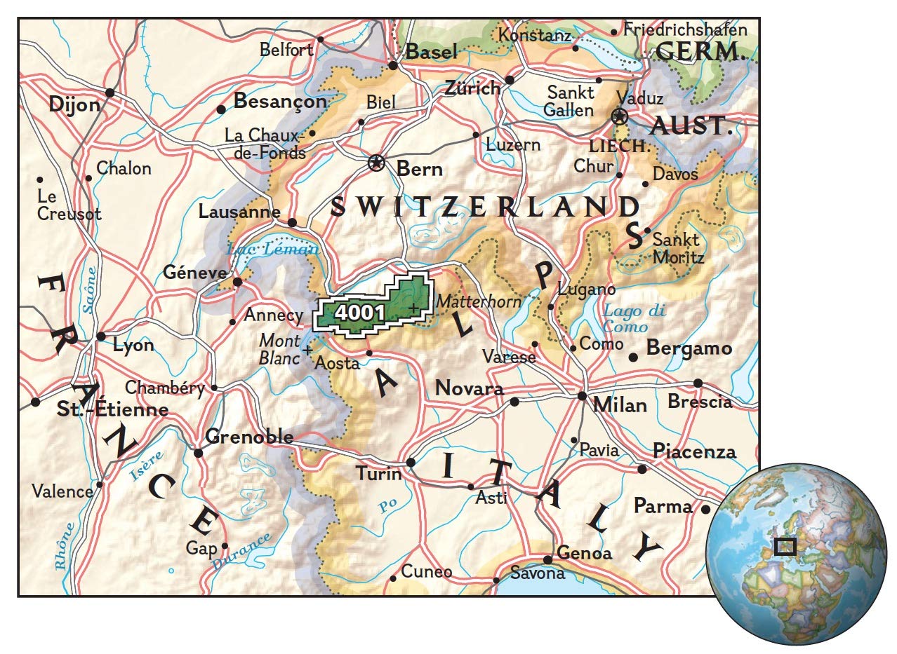
This topographic map booklet describes two different versions of the Haute Route from Chamonix, France, to Zermatt, Switzerland: one for hikers and one for skiers.

The northernmost route, or walker's route, shown on the map heads north from Chamonix and crosses the Alps to Zermatt. The ski route shown is the Grand Lui variant, the longest and most technical option, avoiding the road links used by the Verbier and Classic variants.

Although the term Haute Route has been widely applied to many multi-day hut-to-hut Alpine hikes, the Chamonix-Zermatt Haute Route remains the original. Whether you choose skis or hiking boots, it offers a unique adventure.

More convenient and easier to use than folded maps, yet just as compact and lightweight, National Geographic topographic map booklets are printed on waterproof, tear-resistant Backcountry Tough paper, with stainless-steel staples. A full UTM grid aids GPS navigation.


ISBN/EAN : 9781566958103
Publication date: 2024
Scale: 1/40,000 (1cm=400m)
Printed sides: both sides
Folded dimensions: 23.5 x 10.9cm
Language(s): English
Weight: 89 g