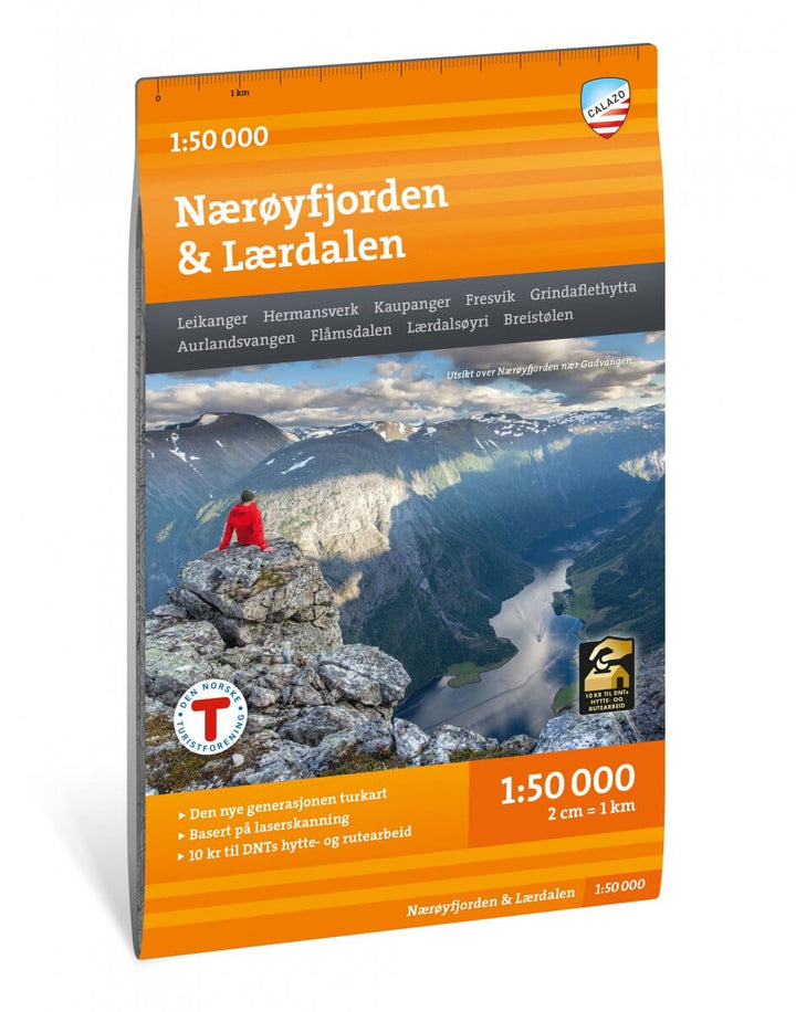
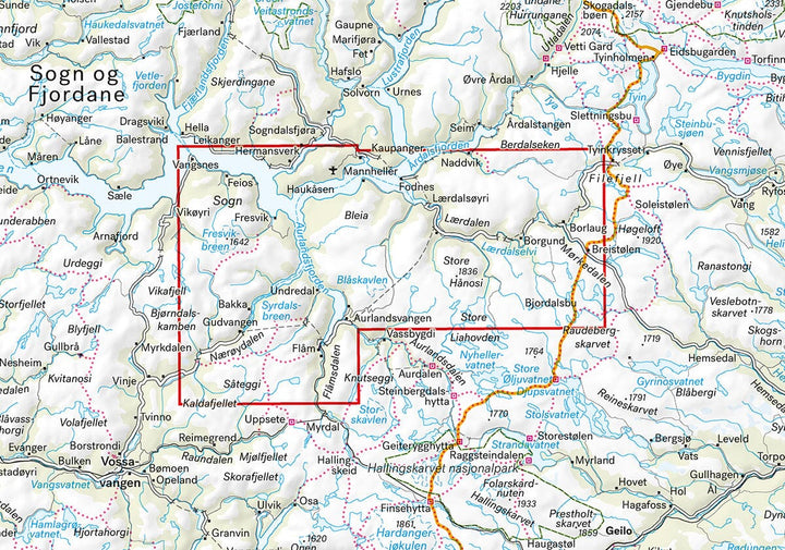
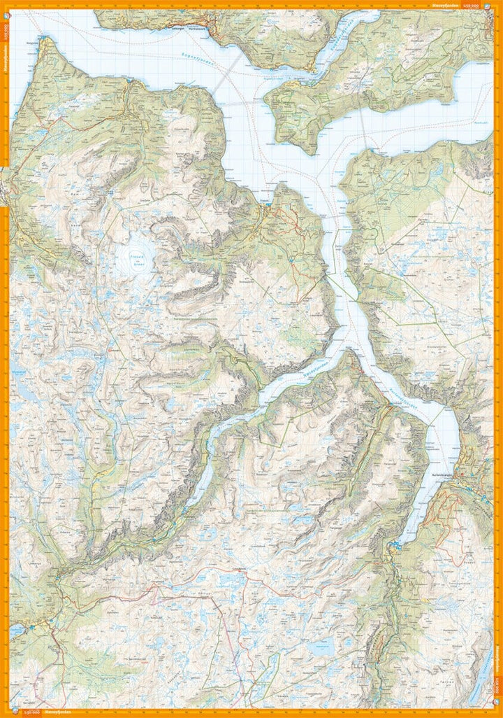
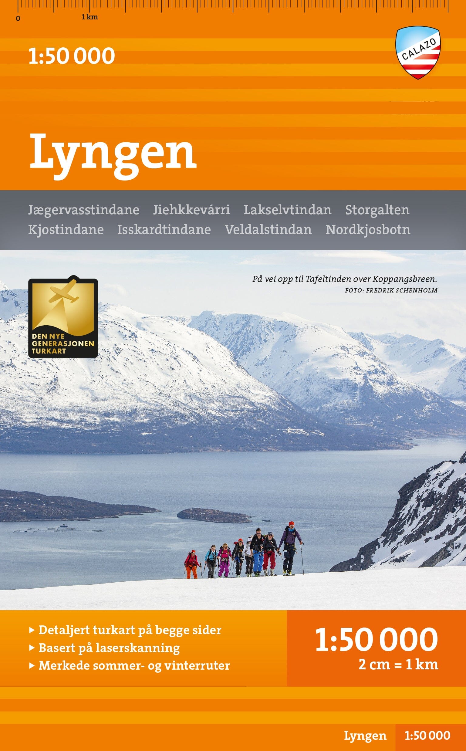
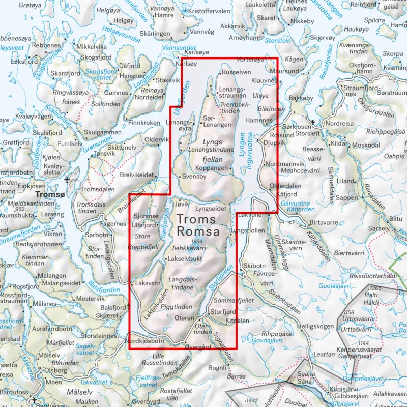
Discover a high-precision map covering the Aurlandsfjord , the spectacular Nærøyfjord and the Lærdalen Valley , in the heart of one of Norway's most impressive natural regions.
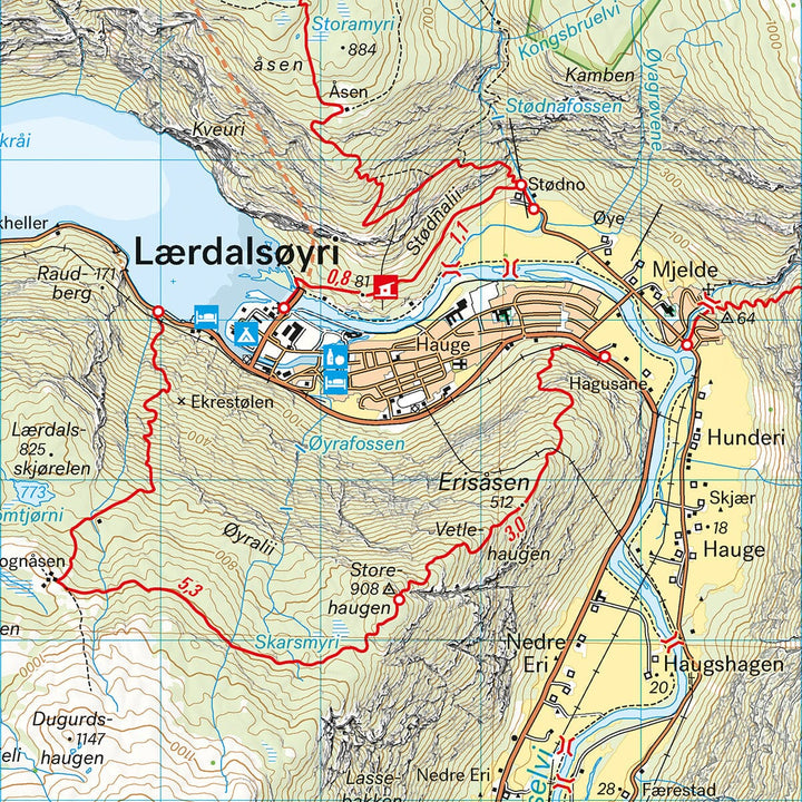
This double-sided map is part of Calazo's modern series , created using aerial laser scans and high-resolution photographs . These technologies allow for an unparalleled representation of the terrain and trails , far surpassing that of official databases. Many previously missing routes have been added.
Key features :
-
Detailed representation of marked hiking trails
-
Information on mountain huts and shelters
-
Ideal in all seasons: marked winter trails and groomed ski slopes included
-
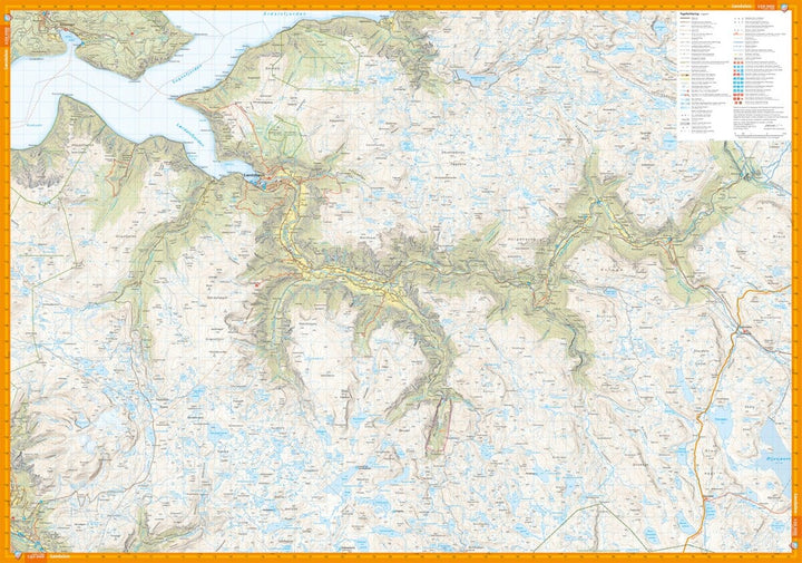
Double-sided format for extended coverage
-
Durable support suitable for mountain conditions


