Hiking map - Tuc de Molières, Besiberri, Vall de Barravès (Catalan Pyrenees) | Alpina

Price
Regular price £1300
Regular price Sale price £1300
/
  • Ships within 5 to 8 working days
    (Currently in transit to our warehouse in France)
  • Cartovia Guarantee – Delivery issue?
    We resend immediately upon receiving a simple photo.
Tax included.

Often purchased together:

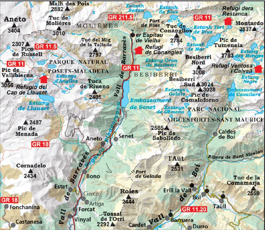
This Alpina topographic map covers Tuc de Molières, the Besiberri massif and the Barravès Valley, between the Catalan and Aragonese Pyrenees. It is an ideal aid for hikers exploring this high-mountain region, renowned for its spectacular scenery. Its detailed scale and practical information help with planning and following routes.

Features

  • Scale: 1:25,000.
  • Coverage: the Barravès Valley, Tuc de Molières and Besiberri sectors, and the Alta Ribagorça and Ribagorza regions.
  • Detailed topographic mapping.
  • Hiking information: waymarked GR and PR routes, the complete trail network, mountain huts, and natural and tourist points of interest.

Included fold-out flap

  • Hiking routes.
  • Information on mountain huts.
  • Geographical information.
  • A selection of eight must-see sites.

The area

The Barravès Valley and Besiberri massifs offer a spectacular Pyrenean setting, with high-altitude lakes, rocky summits and mountain paths in the heart of the Catalan and Aragonese Pyrenees.


ISBN/EAN : 9788470112133
Publication date: 2026
Scale: 1/25,000 (1cm=250m)
Printed sides: front
Folded dimensions: 11.5 x 22.5cm
Unfolded dimensions: 68x80cm
Language(s): Castilian, Catalan
Weight: 112 g