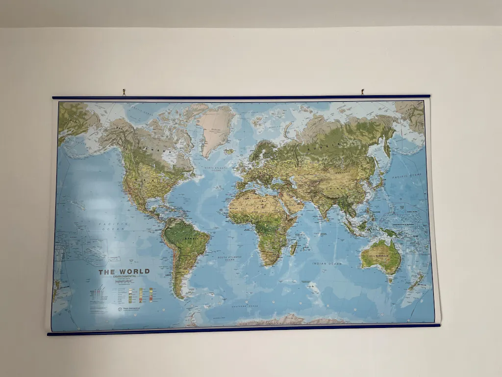
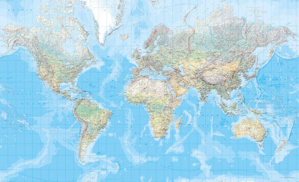
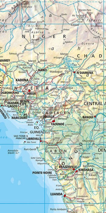
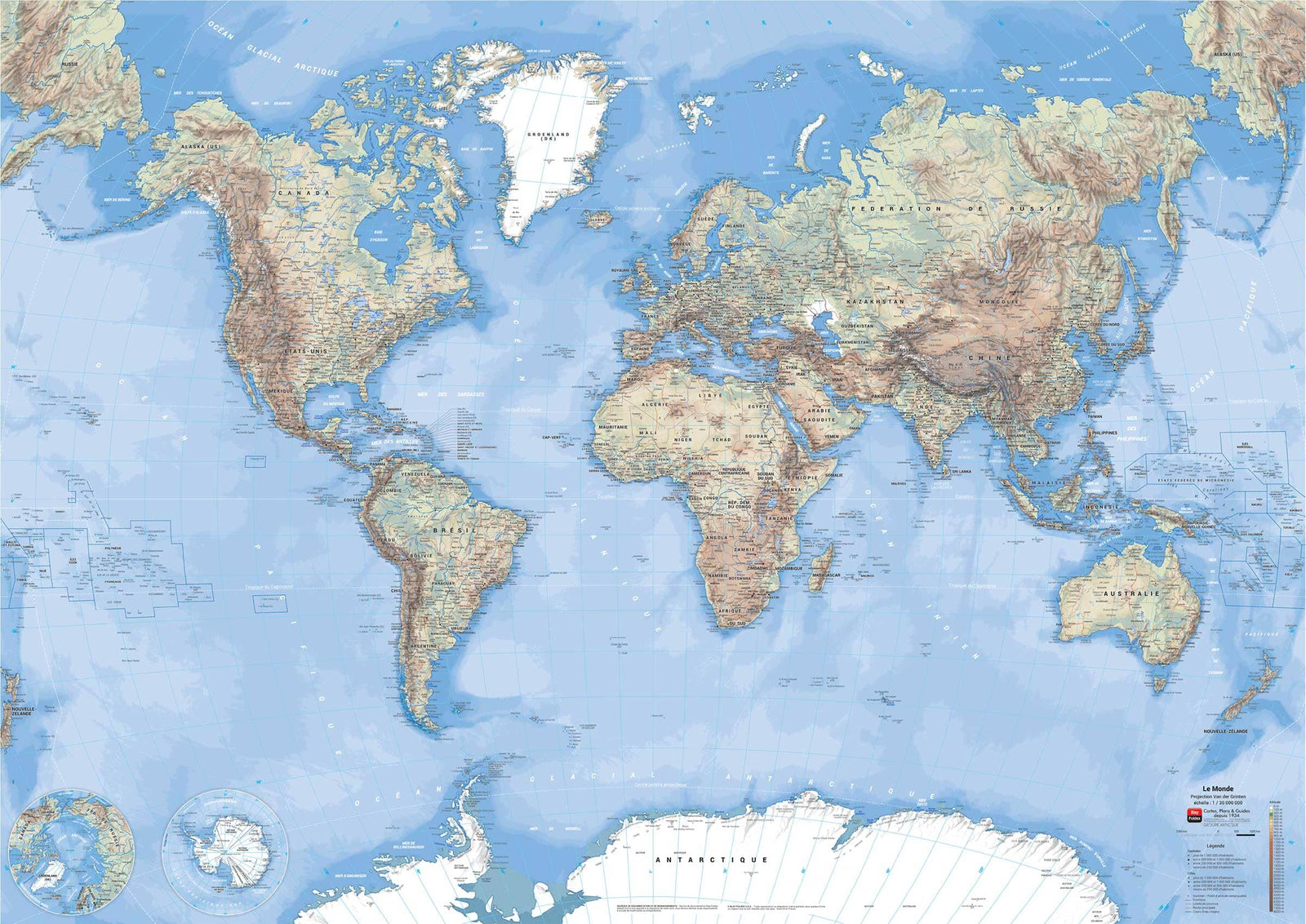
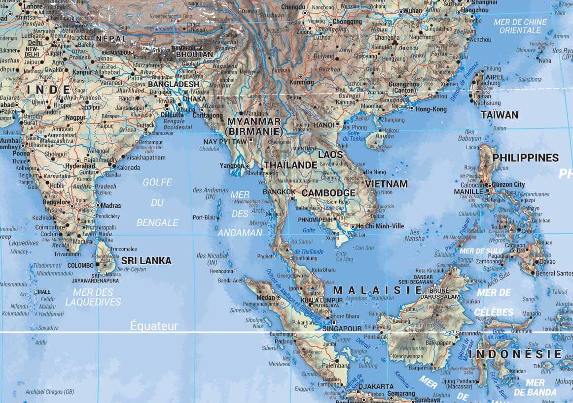
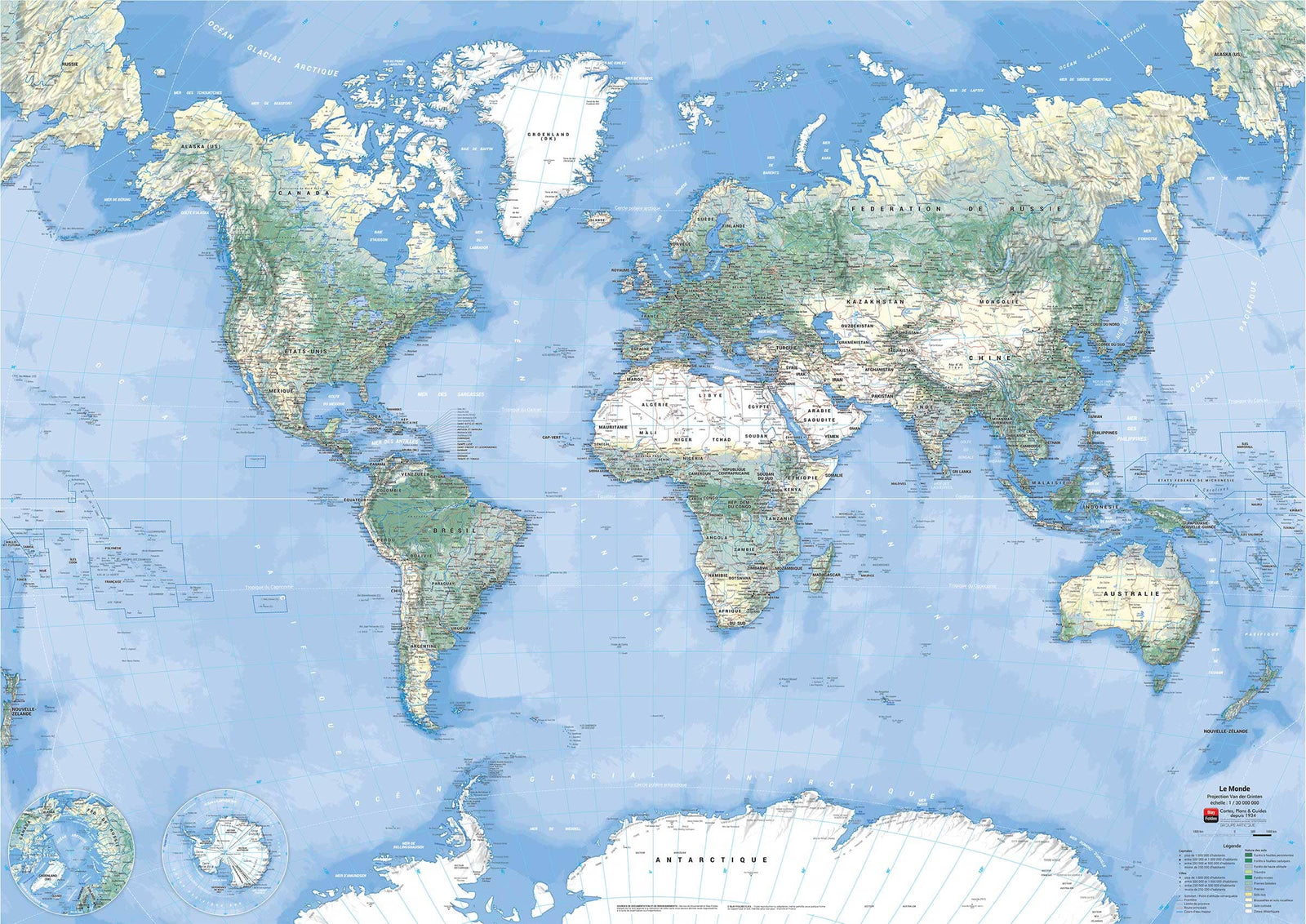
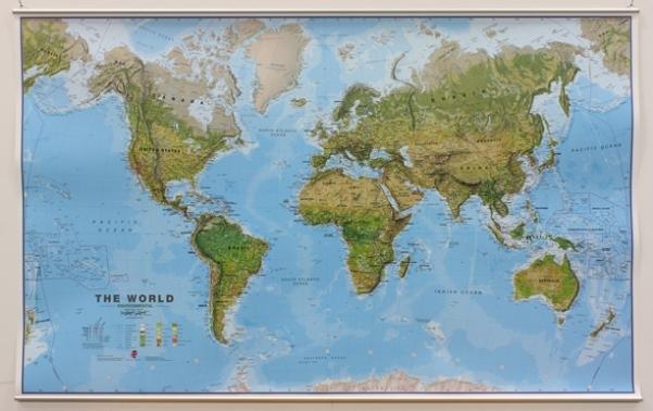
Wall map - Environmental World - 136 x 86 cm | Maps International
- Shipping within 24 working hours from our warehouse in France (except laminated models)
- Delivery costs calculated instantly in the basket
- Real-time inventory
- In stock, ready to ship
Over 19,500 maps 🗺️ and travel guides, hiking maps, posters, globes, and decor in stock!
Explore the world, one map at a time 🗺️
Cartovia is rated Excellent ⭐️ on Trustpilot — 9,100+ reviews from explorers and map lovers worldwide.
Cartovia is rated Excellent ⭐️ on Trustpilot — 9,100+ reviews from explorers and map lovers worldwide
Wall map of the environmental world (in English). p>
physical relief is successfully combined different vegetations or nature of the terrain (the span> span> tundra, glaciers and caps, coniferous forests or Mixed forests, savannahs, meadows or steppes, deserts of sand or rocky, lava fields and salted lakes, fields etc.) span> p>
Country names and boundaries are clearly displayed. span> p>
A sludge shows the mountain almost indeed 3D. A symbol makes it possible to identify the highest mountain of continents and different countries. Span> The dimensions of the wall board are: 136 x 86 cm. strong> p>
exists in several finishes: paper, laminated, laminated with metal slats of strong> hold (up and down). strong> p>
Note span>: for laminated maps, an additional period of several days (5 to 8 working days) may be necessary For manufacturing. strong> span> p>
The country names and their limits are clearly indicated. Symbols indicate capitals as well as states capitals or provinces (where possible). In the United States, Canada, Brazil and Australia territory, the internal boundaries of state or provinces are indicated. Span>
The ocean depth variation is indicated by several color shades. The middle of the Pacific, Alaska / Siberia to New Zealand is taken over, on both ends of the map for better representation of this region. Span> p>
ISBN / EAN : 9781904892526
Date de publication : 2024
Echelle : 1/30,000,000 (1cm=300km)
Impression: front
Dimensions déplié(e) : 136 x 86cm
Langue : English
Poids :
300 g
Très belle carte mondiale détaillée et complète, et instructive
bien livrée et carte aux bonne dimensions. cependant aurait aimé un conseil pour un cadre.
Mais les reliefs sont un peu moins prononcé qu’il n’y paraît sur les images du site. De loin tout à l’heure correct, mais on n’y regardant de plus près, c’est limite. L’aspect général, la solidité, les baguettes de renfort, tout y est. C’est parfait.
très belle carte, très détaillée
Belle carte avec un bon rendu des informations.
Très belle carte mais frais de port un peu excessifs. Satisfait.
La carte est super, ma mais les frais d'envoi je trouve un peu excesive !!!
Délai de livraison rapide, sérieux, efficace, produit conforme à la description. Rien à redire
Très satisfait du produit, ravis
La version plastifiée avec lattes est très robuste. Parfaite.
The exclusive newsletter for travel and discovery enthusiasts!