Wall map (English) - Dynamic Earth, Plate Tectonics - 1:45M - 92 x 61 cm | National Geographic

Finishing
Price
Regular price £2495
Regular price Sale price £2495
/
  • In stock in France, in the USA and in the UK
    Shipped within 24 to 48h from the warehouse closest to you
  • Real-time inventory
  • Cartovia Guarantee – Delivery issue?
    We resend immediately upon receiving a simple photo.
  • In stock, ready to ship
  • Backordered, shipping soon
Tax included.

Often purchased together:

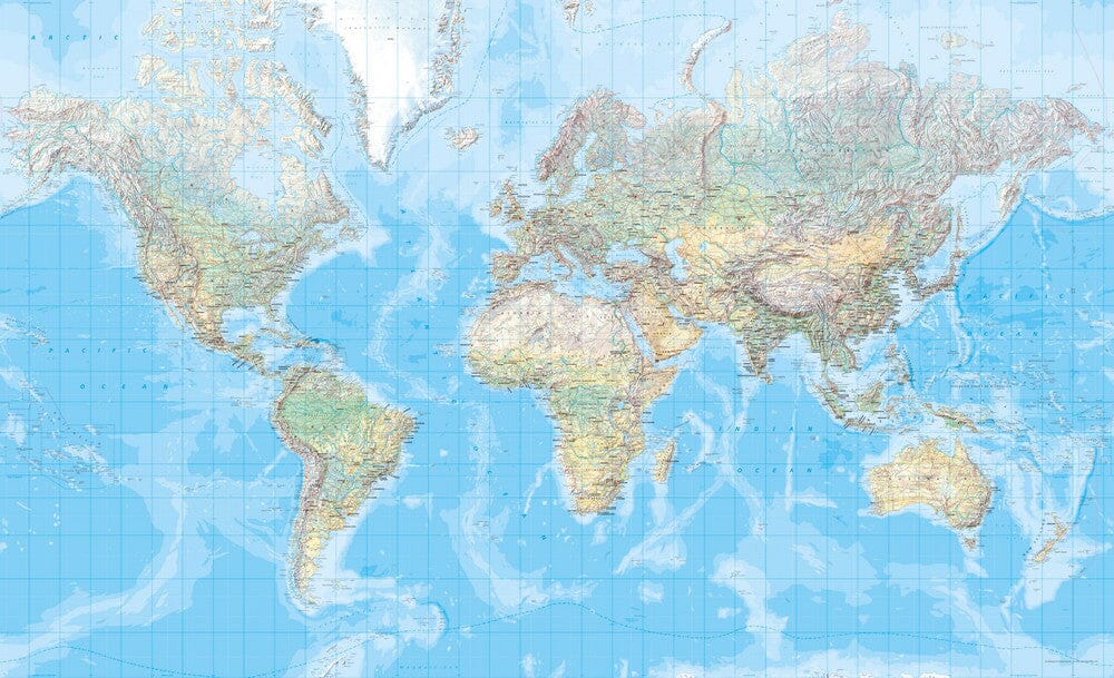
This “Dynamic Earth” wall map of plate tectonics, published by National Geographic, is in English and measures 92 x 61 cm.

It combines bathymetry, natural-colour relief and data on volcanoes and earthquakes through 2011. The map shows how the interaction of tectonic plates causes earthquakes and volcanoes and shapes the Earth's crust.

It depicts 17 major tectonic plates and identifies diffuse boundaries, convergent boundaries, spreading boundaries, fault zones, hotspots, notable earthquakes and volcanic eruptions from the 20th and early 21st centuries, as well as significant eruptions over the past 10,000 years.

The map is supplied rolled in a protective plastic tube and is available in paper or laminated versions.


Publication date: 2017
Scale: 1/45,000,000 (1 cm = 450 km)
Printed sides: front
Unfolded dimensions: 92 x 61cm
Language(s): English