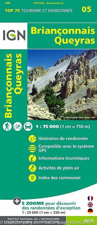
The IGN TOP 25 hiking map No. 3637 OTR covers the following area: Mont Viso, St Véran & Aiguilles (Queyras) in its durable version.
IGN TOP 25 topographic map No. 3637OTR of the area around Saint-Véran and Aiguilles, including Monte Viso and part of the Queyras Regional Nature Park.
- Contour lines at 10-metre intervals.
- Detailed legend: vegetation, rocks, watercourses and more.
- Hiking trails are shown.
- Scale: 1:25,000 (1 cm = 250 m).
- GPS-compatible map.
- The map is printed on a laminated, tear-resistant material, ideal for outdoor activities.
- Double-sided map: its compact format makes it easier to handle.
Municipalities covered: Abriès-Ristolas, Aiguilles, Saint-Véran, Molines-en-Massif du Queyras.
Places to discover: Massif du Queyras, Bois de l'Alève, Agnel Pass, Tête de Girardin, le Pain de Sucre, Cima delle Lobbie, MONTE VISO, Punta Caprera, Passo San Chiaffredo, Bric Froid, Monte Manzol, Colle Baracun, Monte Ruine, Pointe Gastaldi, Monte Reisasso, Bric de Rubren, le Péouvou, Monte Ferra.