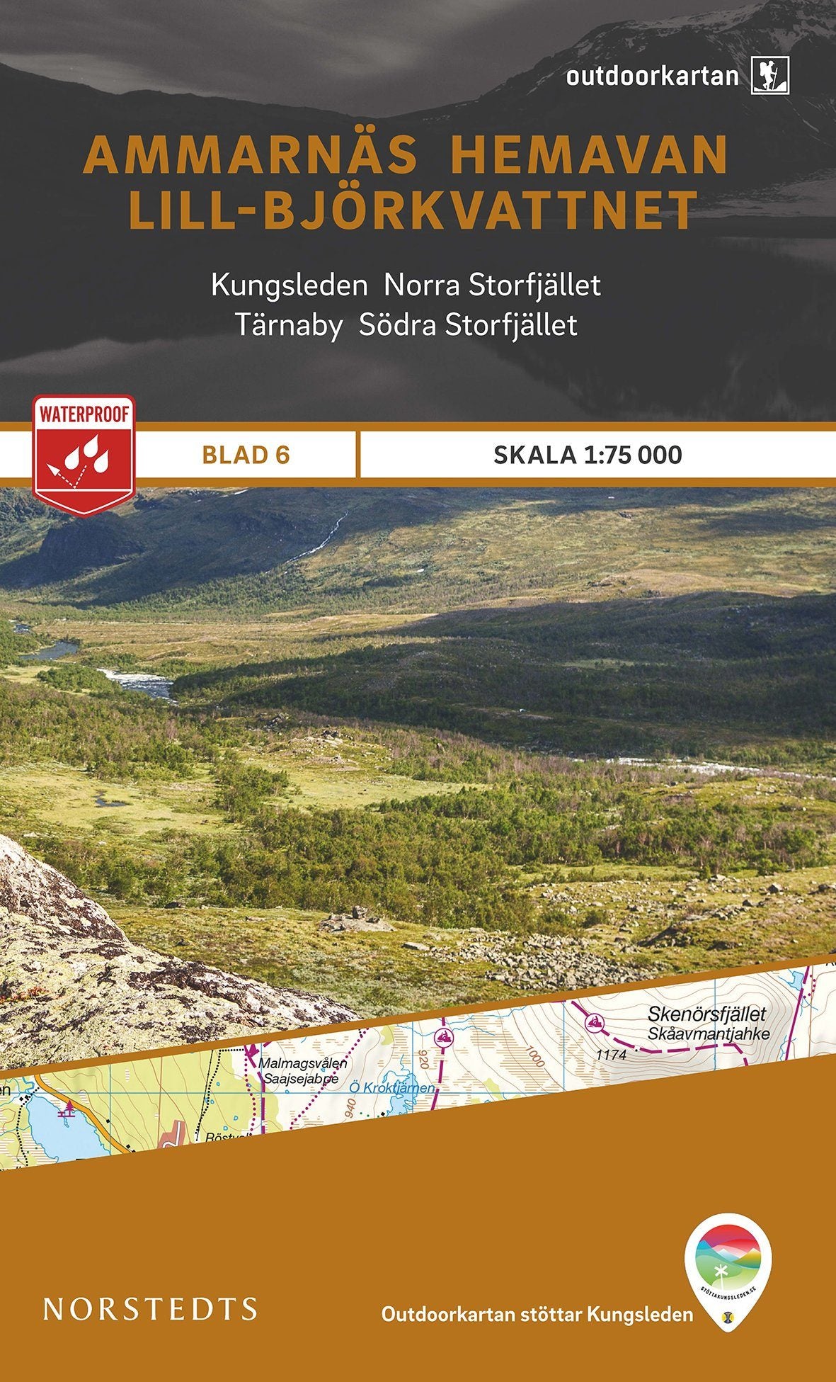
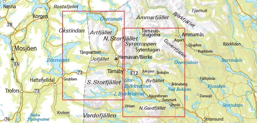
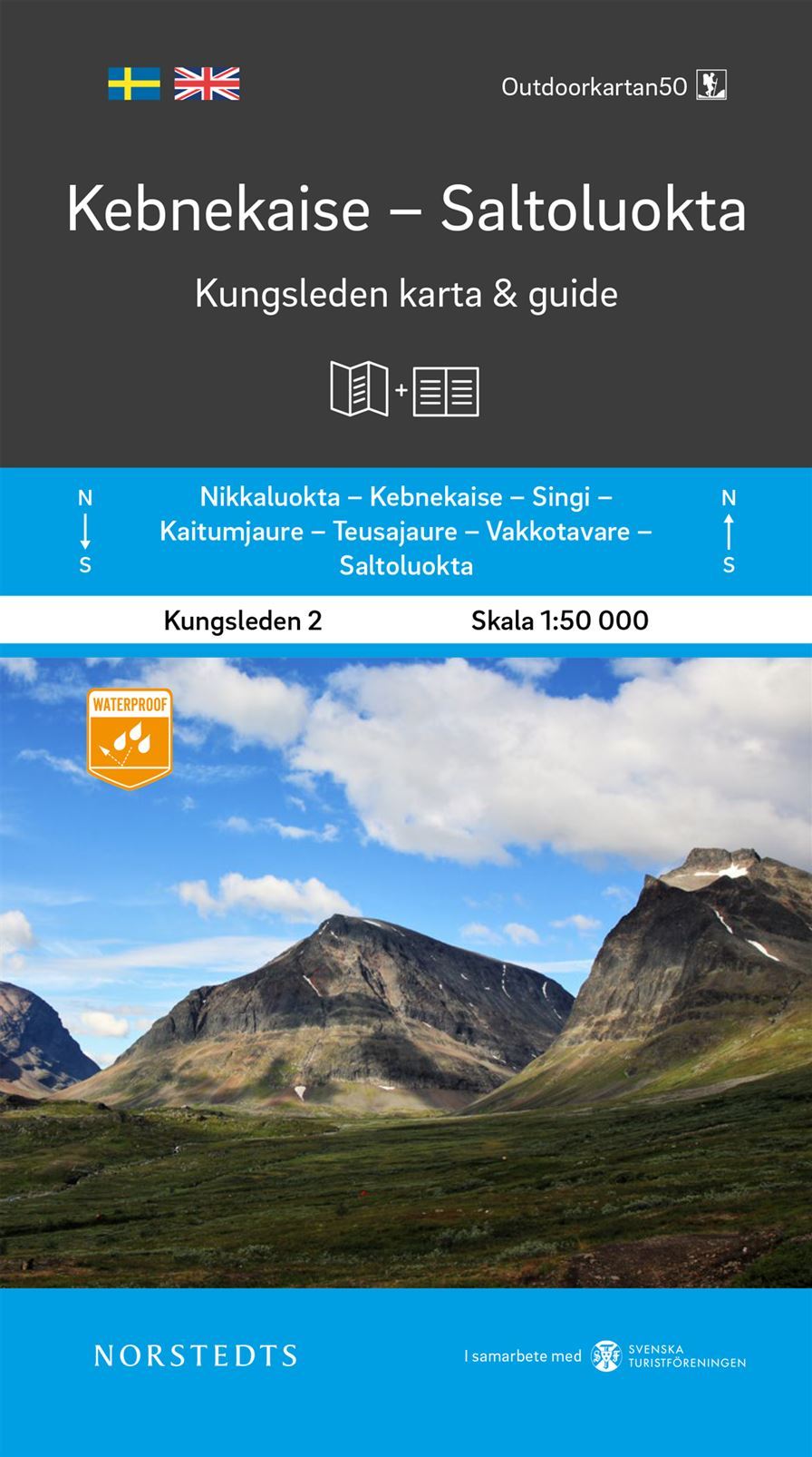
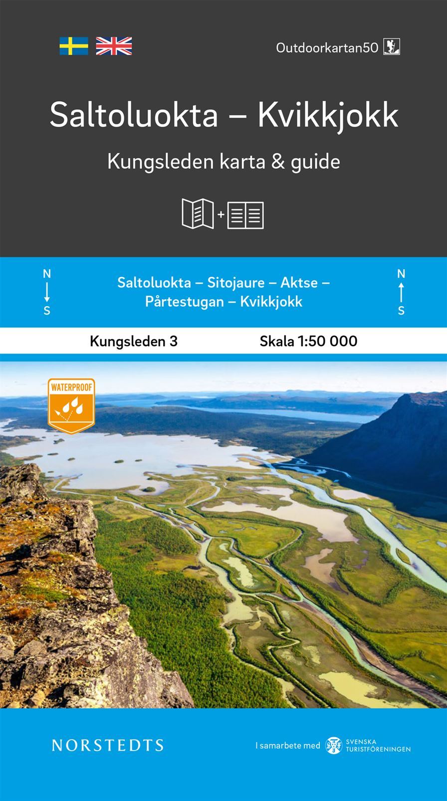
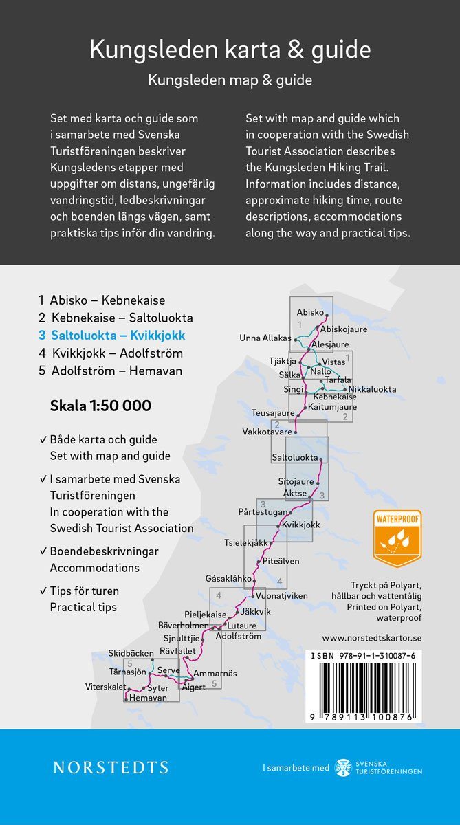
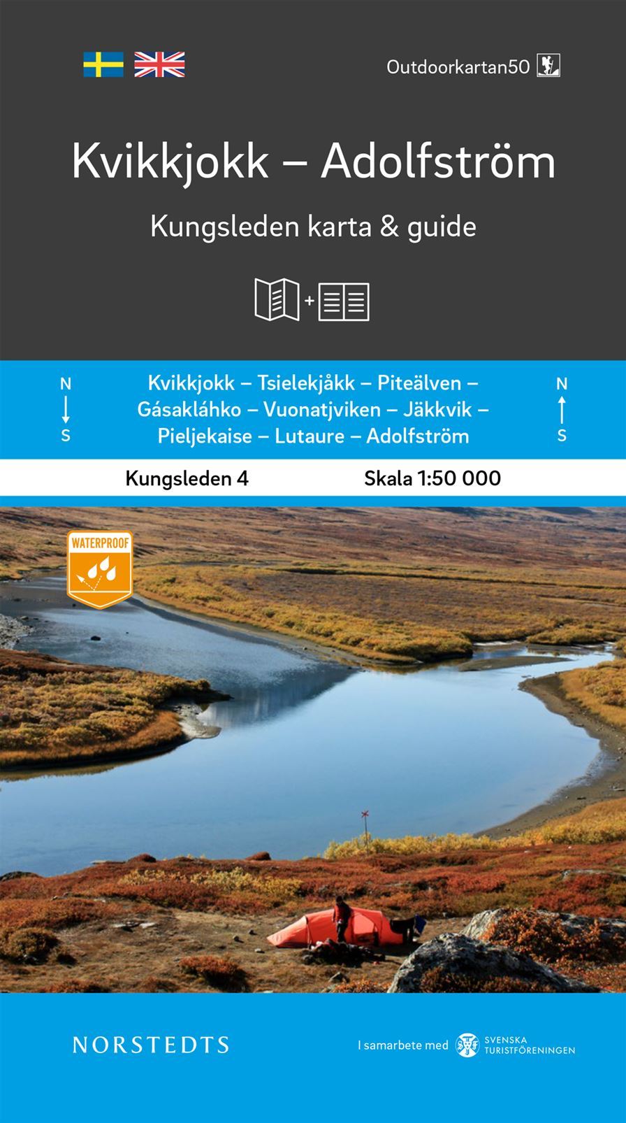
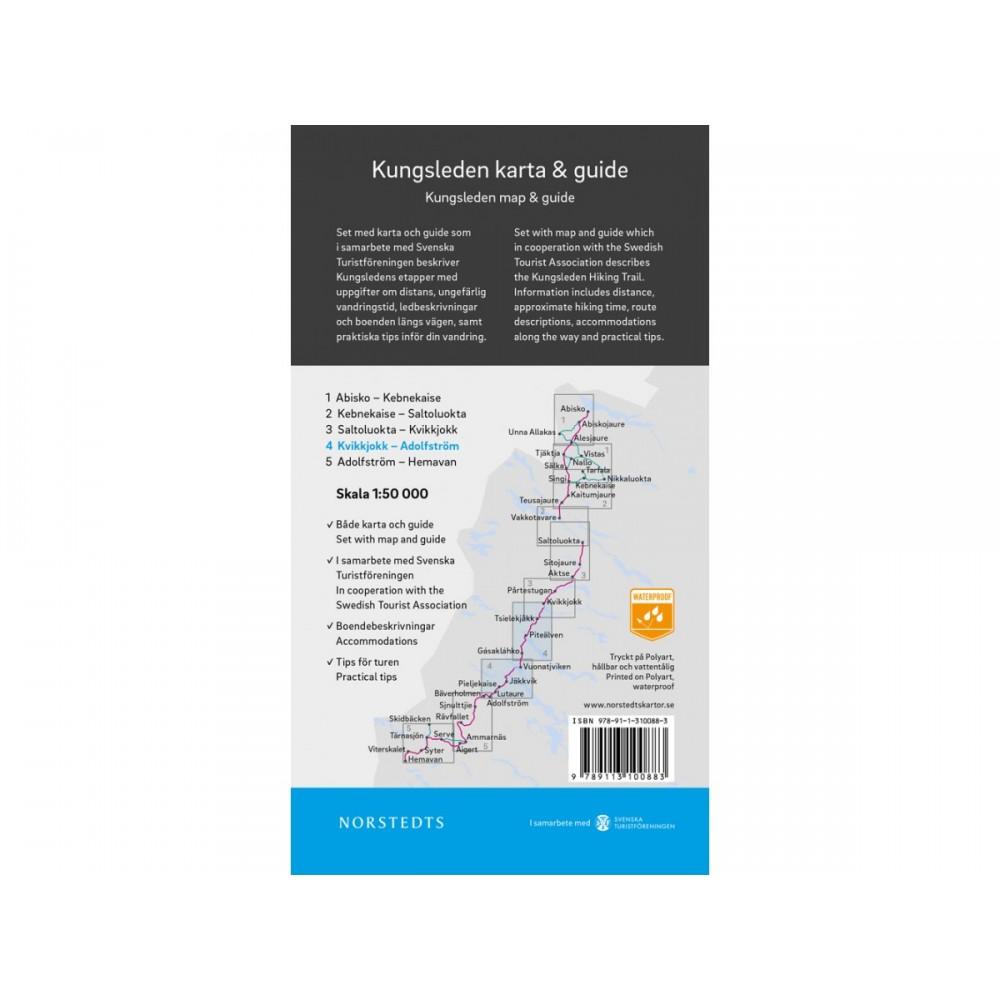
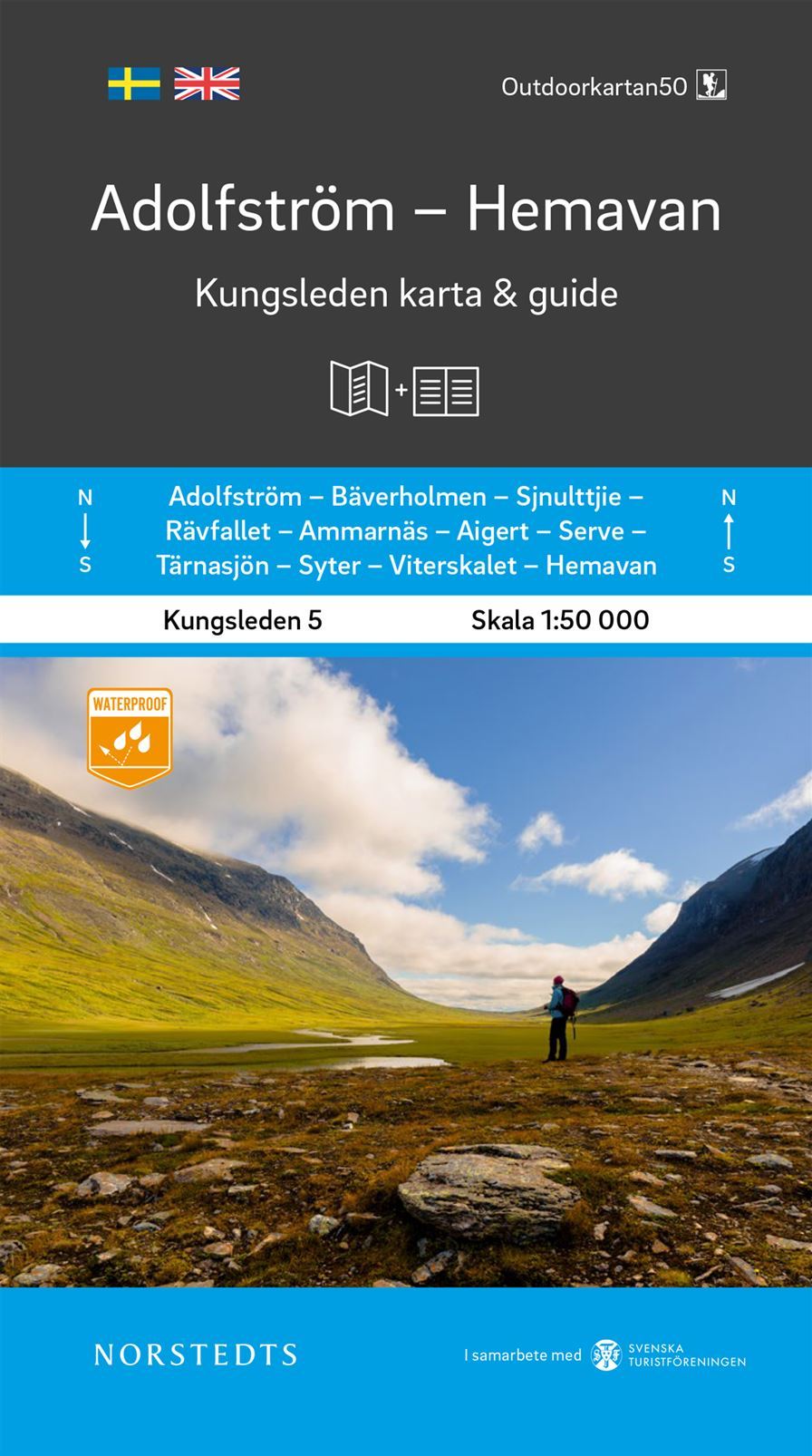
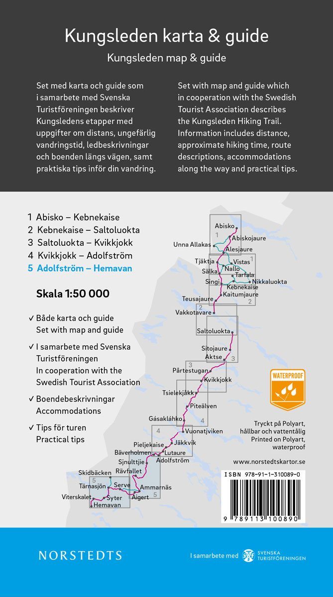
Hiking map No. 06 - Ammarnäs, Hemavan / Lill / Björkvattnet (Sweden) | Norstedts - Outdoor
Regular price
£1700
Regular price
Sale price
£1700
/
- Shipped within 24 to 48h from our warehouse in France
- All-inclusive price: customs duties are already paid by Cartovia
- Free returns (*)
- Real-time stock levels
-
Cartovia Guarantee – Delivery issue?
We resend immediately upon receiving a simple photo.
- In stock, ready to ship