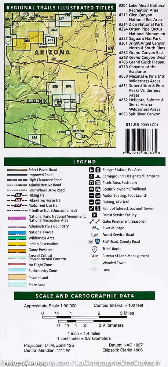
Carte de randonnée n° 204 - Lake Mead National Recreation Area (Arizona, Nevada) | National Geographic carte de randonnée National Geographic

Hiking map No. 204 - Lake Mead National Recreation Area (Arizona, Nevada) | National Geographic

Price
Regular price £1500
Regular price Sale price £1500
/
  • In stock in the USA and in the UK
    Shipped within 24 to 48h from the warehouse closest to you
  • Free returns (*)
  • Real-time stock levels
  • Cartovia Guarantee – Delivery issue?
    We resend immediately upon receiving a simple photo.
  • In stock, ready to ship
  • Backordered, shipping soon
Tax included.

Frequently bought together:


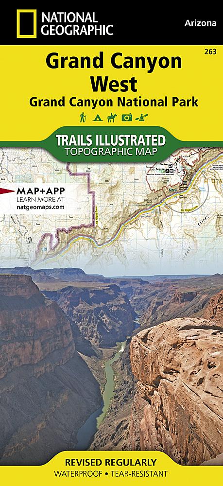
- Waterproof - Tear-Resistant - Topographic Map

This map features major points of interest, including Valley of Fire State Park, Hoover Dam, Mount Wilson Wilderness, Muddy Mountain Wilderness, River Mountains Loop National Recreation Trail, and part of Grand Canyon National Park. Katherine Landing, Cottonwood Cove, Willow Beach, Temple Bar, Callville Bay, and Echo Bay are also featured.
This map features detailed topography with clearly defined, color-coded elevations and boundaries for parks, public lands, wilderness areas, and Indian reservations. Helpful content on boating, hunting, fishing, swimming, camping, hiking, and more, as well as safety tips, are included. Backcountry roads in Gold Butte and Bitter Springs are marked for those who wish to take in the scenery by car.
Each Trails Illustrated map is printed on waterproof, tear-resistant Backcountry Tough paper. A complete UTM grid is printed on the map to aid in GPS navigation.


ISBN/EAN : 9781566954006
Publication date: 2020
Scale: 1/166,800 (1 cm = 1.6 km)
Printed sides: both sides
Folded dimensions: 9.45 x 4.33 inch / 24 x 11cm
Unfolded dimensions: 20.28 x 24.41 inches / 51.5 x 62cm
Language(s): English
Weight: 3.2 oz