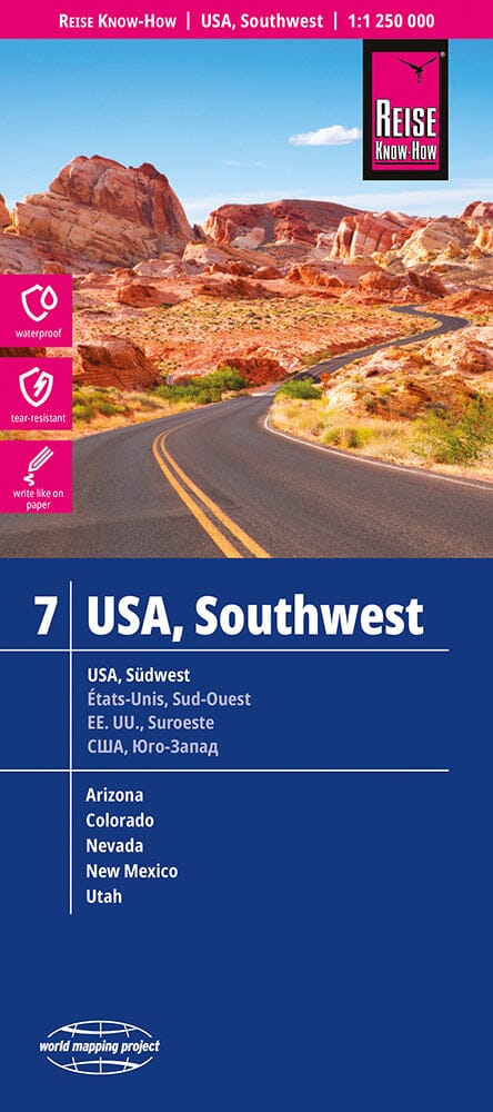
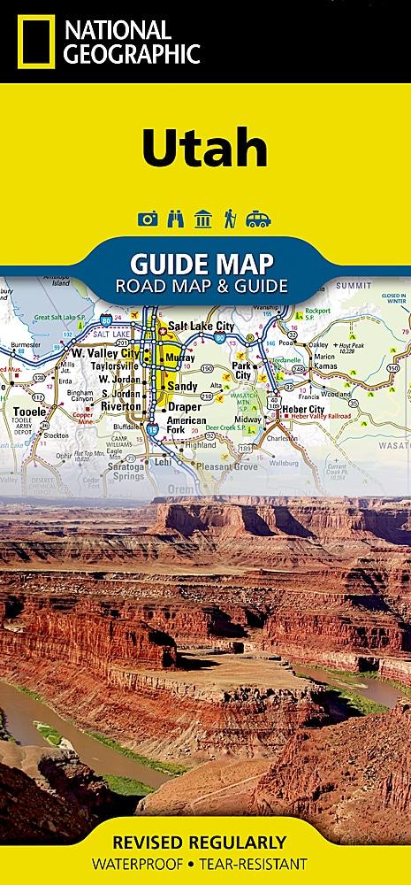
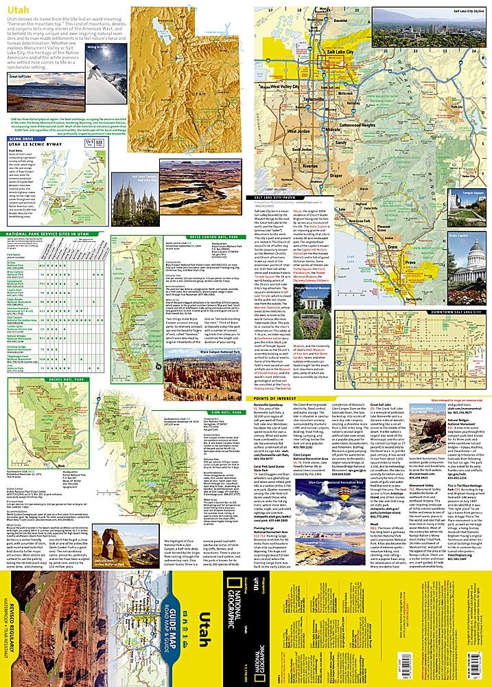
- Waterproof - Tear-Resistant Topographic Map
Located in northeastern Utah and southeastern Idaho, the Bear River Mountains offer year-round outdoor recreation in one of the western United States' most scenic ranges. National Geographic's Trails Illustrated Logan and Bear River Range map combines unparalleled detail with useful information to provide a valuable tool for making the most of your visit to this magnificent region. Expertly researched and created in partnership with local land management agencies, this map features key points of interest, including Bear Lake National Wildlife Refuge; Hardware Ranch State Wildlife Area; Wellsville Mountain Wilderness; Bear River; Mount Naomi Wilderness; and the towns of Logan, Hyrum, and Smithfield.
Designed for a wide range of visitors, this map features detailed, easy-to-read trails clearly marked according to use; an accurate road network including state and national scenic byways; and a handy activity guide for the Cache and Caribou-Targhee National Forests, Bear Lake and Hyrum State Parks, and the town of Hyrum. With miles of mapped trails, including part of the Great Western Trail, this map will help you get off the beaten path and back on it. Trail mileage between intersections will help you choose the route that's best for you. The basemap includes contour lines and elevations for peaks, passes, and numerous lakes. Among the many recreational features are campgrounds, trailheads, ski areas, fishing access, boat launches, scenic overlooks, and waterskiing and swimming areas.
Each Trails Illustrated map is printed on waterproof, tear-resistant Backcountry Tough paper. A complete UTM grid is printed on the map to aid GPS navigation.
.
Other features found on this map include: Bear Lake, Bear River Range, Brigham City, Cache National Forest, Cache Valley, Cutler Reservoir, Little Bear River, Logan, Logan River, Monte Cristo Range, Mount Naomi Wilderness, Mud Lake, Naomi Peak, Wellsville Mountain Wilderness, Wellsville Mountains.
There is also a backcountry map.