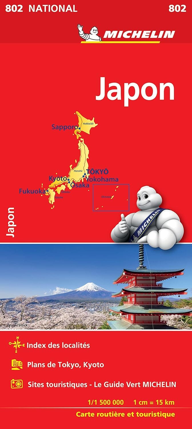
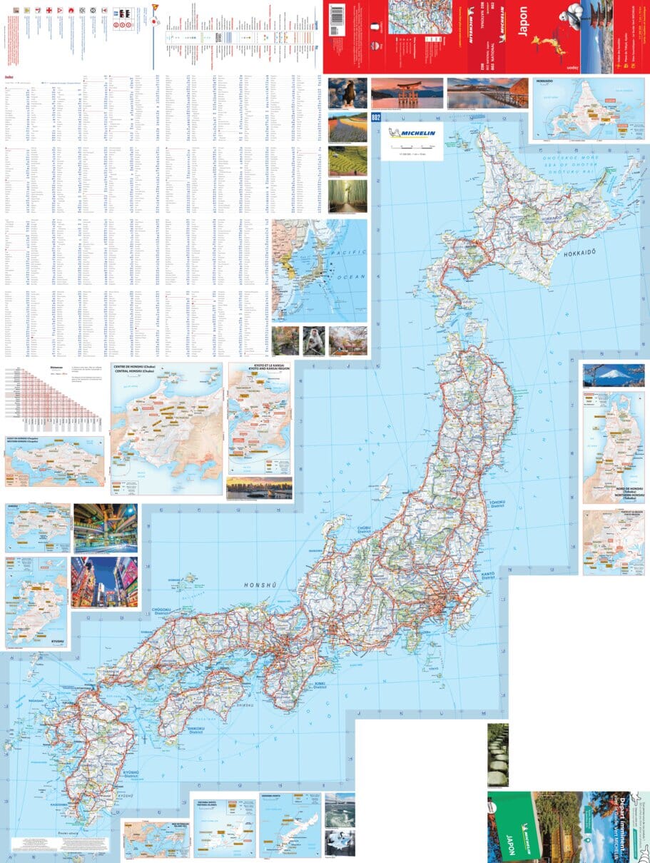
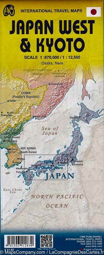
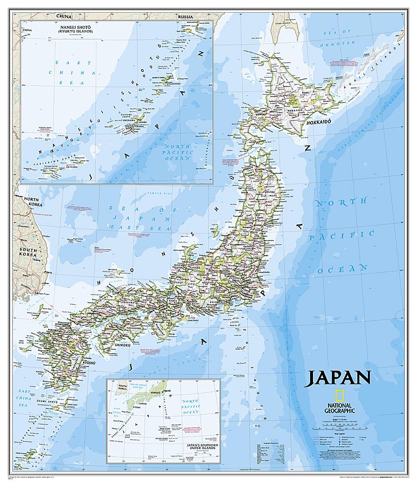
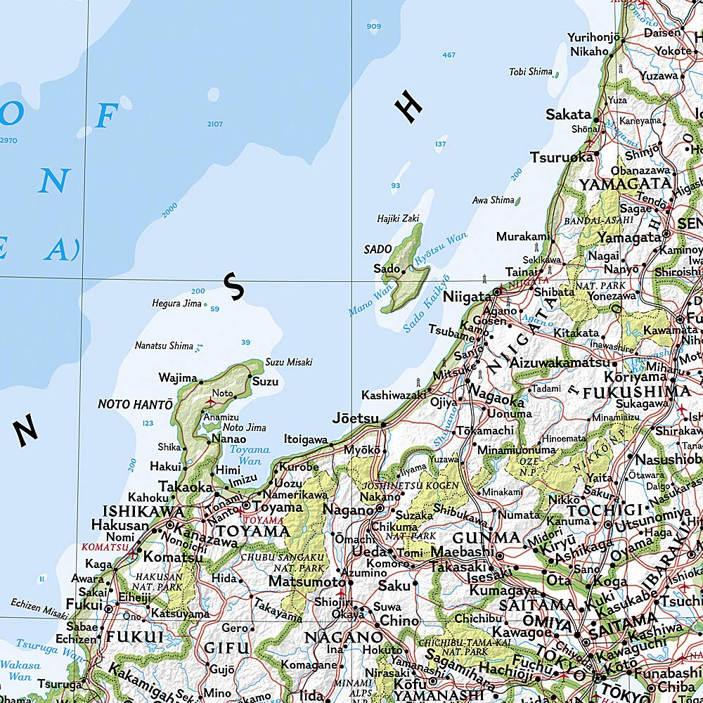
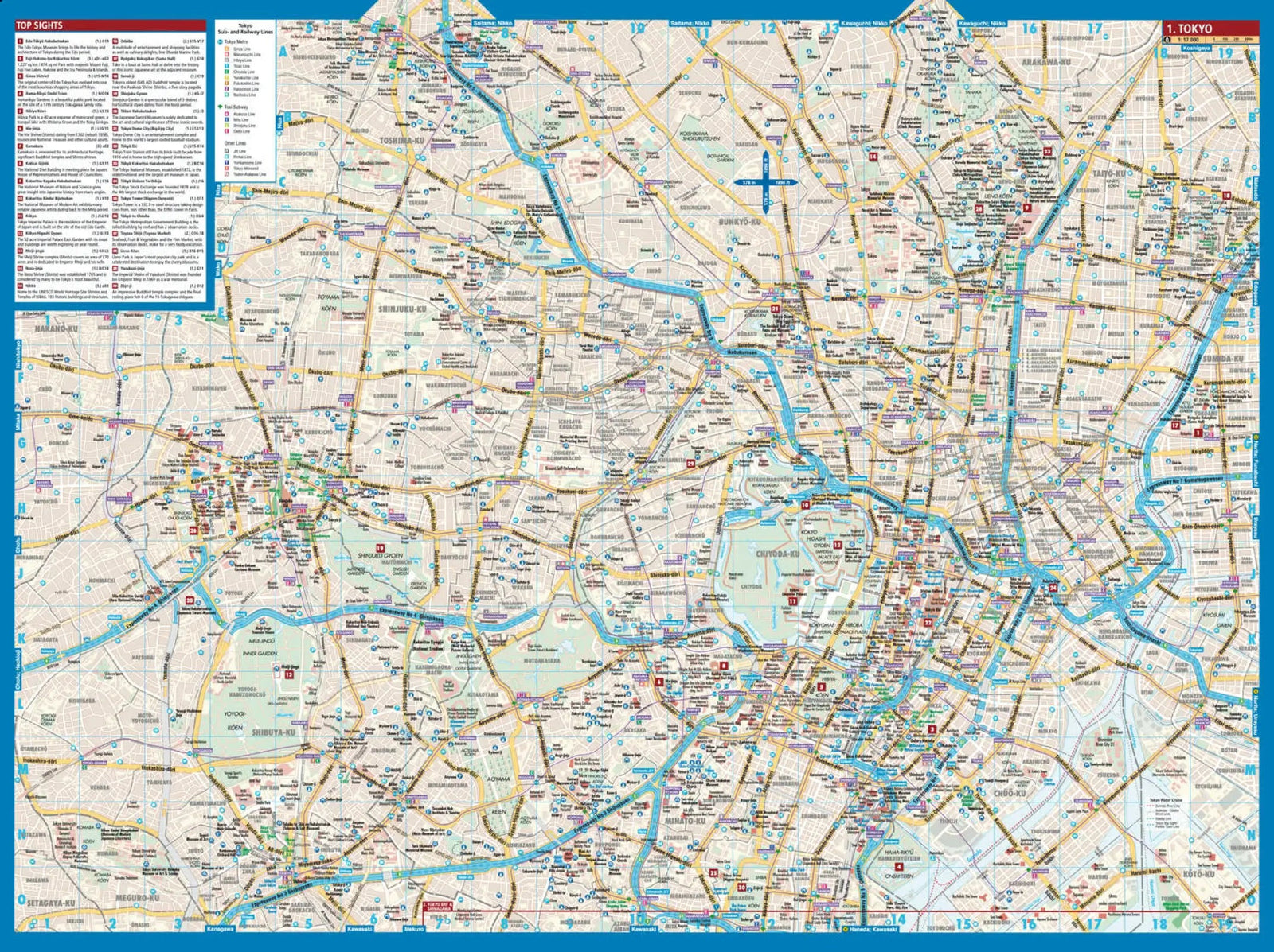
“Prefecture Atlas” is the ultimate all-purpose road atlas, covering 46 prefectures across Japan, excluding Hokkaido. It is designed to meet a wide range of applications and has been cleverly designed for user-friendly navigation. The map uses color coding to differentiate between different types of roads, such as expressways and national roads, and vividly highlights key buildings. Additionally, for added clarity, place names and locations are color-coded and accompanied by furigana (pronunciation guides), making them even more understandable than online maps or smartphone apps.
Main features:
Scale: The atlas offers various scales, including detailed maps of central Naha, Kokusai-dori, and Shuri Castle ranging from 1:3,500 to 1:6,500, detailed maps of the Naha area at 1:10,000, detailed maps of major cities at 1:10,000 to 1:15,000, island-scale road maps of the main island at 1:30,000 and 1:60,000, island maps at 1:60,000 and 1:100,000, and a map of the Naha area at 1:10,000 and 1:15,000.


