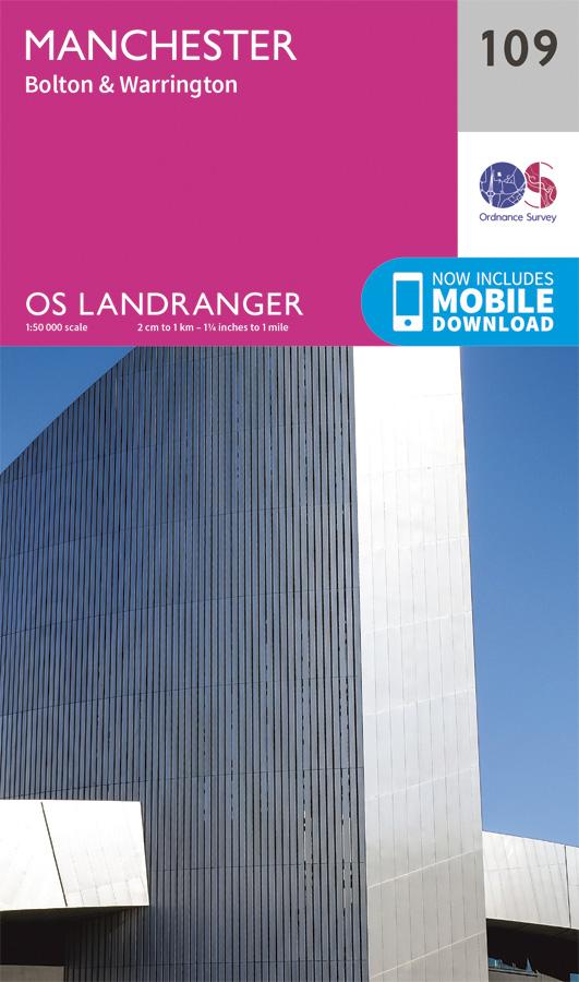
Topographic map No. 109 - Manchester (Great Britain) | Ordnance Survey - Landranger

Finishing
Price
Regular price £1299
Regular price Sale price £1299
/
  • In stock in France and in the UK
    Shipped within 24 to 48h from the warehouse closest to you
  • Free returns (*)
  • Real-time stock levels
  • Cartovia Guarantee – Delivery issue?
    We resend immediately upon receiving a simple photo.
  • In stock, ready to ship
  • Backordered, shipping soon
Tax included.

Frequently bought together:

The Ordnance Survey Landranger topographic map No. 109 shows the following area: Manchester (Great Britain). It is ideal for cycling, driving and holidays.

The mapping includes extensive tourist and leisure information, including information on rights of way in England and Wales. It shows:

  • Bridleways and byways, with information on whether they are open to motor vehicles.
  • Highlighted national trails and selected other long-distance walking routes, as well as cycle touring routes with their national or regional route numbers.
  • Road types, railways and stations, sunken lanes, dykes, individual buildings, and archaeological and historic sites.
  • Symbols marking campsites, youth hostels, tourist information offices and visitor centres, car parks, picnic areas, English or world heritage sites, and sports and leisure facilities.

The map is fully GPS-compatible. The legend is in English; tourist information is also provided in French and German.

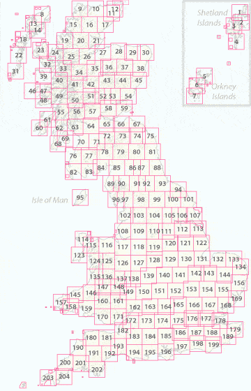
The Ordnance Survey Landranger series covers Great Britain with 204 detailed maps, suitable for excursions and short breaks.

OS Landranger includes a digital version of the paper map, accessible through the OS Maps smartphone app.


Publication date: 2016
Scale: 1/50,000 (1cm=500m)
Folded dimensions: 13.4 x 22.6cm
Language(s): English