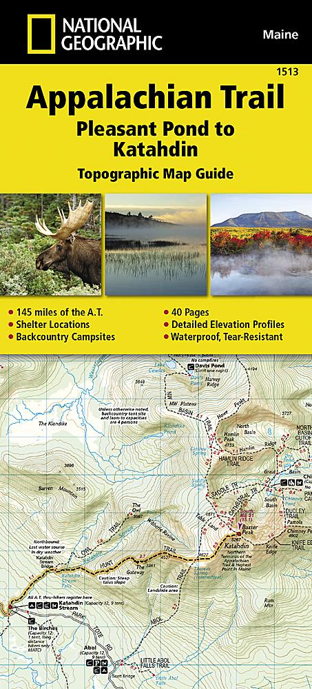
DeLorme atlases and gazetteers are a choice for outdoor enthusiasts. The series offers beautifully produced, highly detailed, large-format paper maps for all 50 states.
Topographic maps show elevation contours, highways and main roads, dirt roads, trails and land-use information.
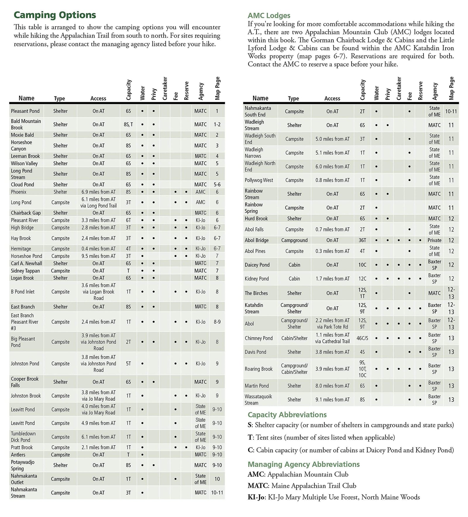
The gazetteer section provides essential outdoor information, including points of interest, landmarks, state and national parks, campsites, boat launches, golf courses, historic sites, hunting areas, canoe trips, scenic-route recommendations and more. The available information varies by state.
Ideal for sightseeing, back-road exploration, outdoor recreation and trip planning, these paper atlases provide a useful companion for accessing the backcountry.
The series is available for all 50 states in a pocket format, measuring 11 x 15.5 inches. Maps are supplied on paper.