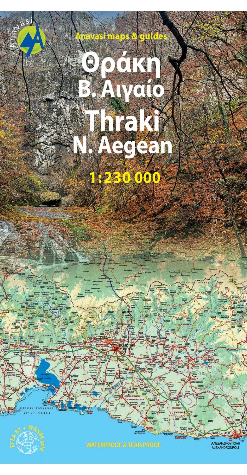
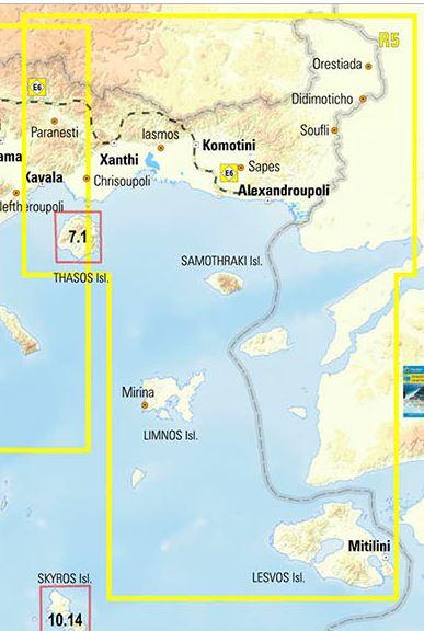
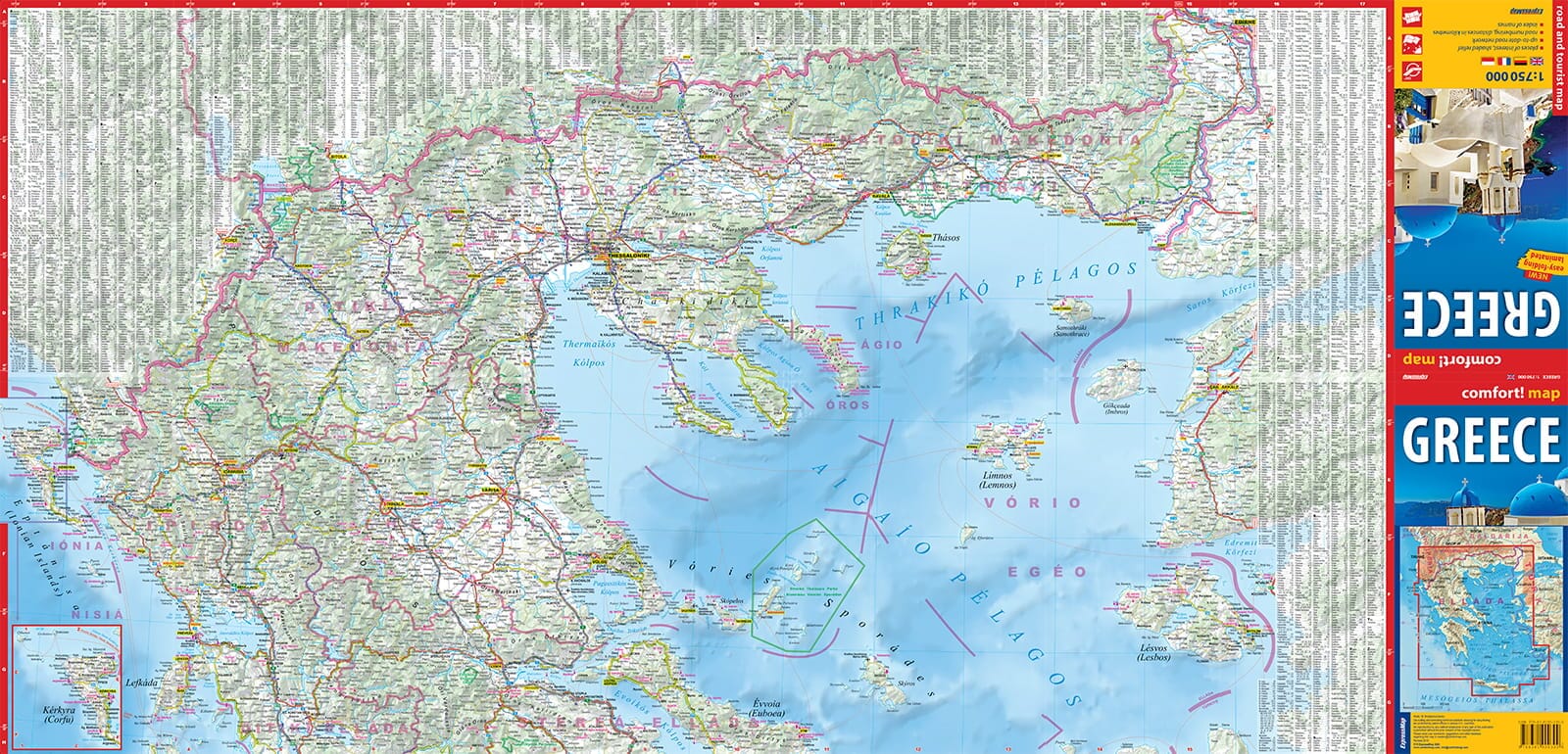
Road map - Thrace, North Aegean R5 | Anavasi

Price
Regular price £1000
Regular price Sale price £1000
/
  • Ships within 24 business hours from our warehouse in France
  • Free returns (*)
  • Real-time stock levels
  • Cartovia Guarantee – Delivery issue?
    We resend immediately upon receiving a simple photo.
  • In stock, ready to ship
  • Backordered, shipping soon
Tax included.

Frequently bought together:

This map of Thrace and the northern Aegean Sea shows the road network, municipalities and archaeological sites. Beaches, camping, marinas.

The front covers Eastern Macedonia and Thrace, where ancient, Byzantine and Ottoman monuments coexist with pristine Rhodope forests, valuable wetlands and the Dadia Birds of Prey Sanctuary. On the other side, we find the islands of the North Aegean Sea, Thassos, Samothraki, Limnos, Lesvos, Chios etc.

The map includes 13 ecotourism destinations accompanied by texts and photos.

This map is waterproof and tear-resistant.


ISBN/EAN : 9789609412582
Publication date: 2024
Scale: 1/230,000 (1cm=2.3km)
Printed sides: both sides
Folded dimensions: 24.5 x 13cm
Language(s): English, Greek
Weight: 60 g