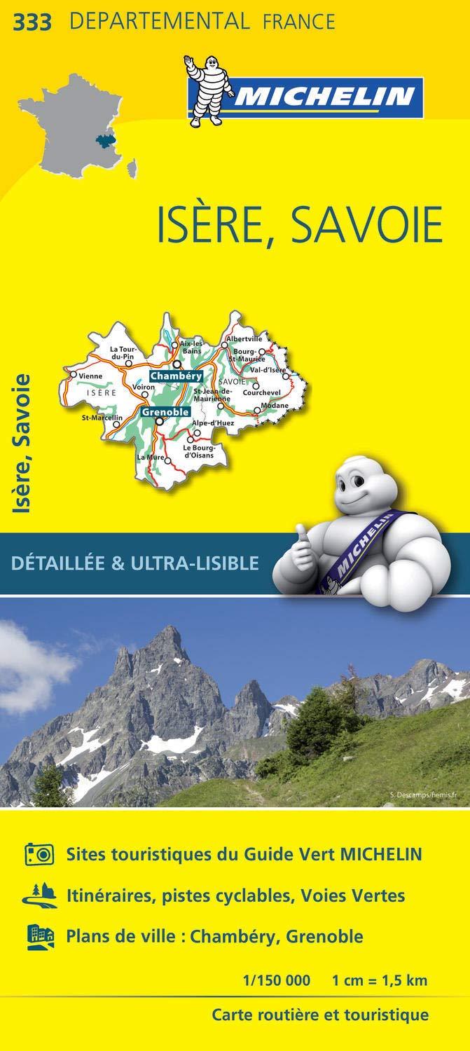
TOP 25 Map No. 3335 ETR (resistant) - Bourg d'Oisans & Alpe d'Huez (Alps) | IGN

Price
Regular price £1600
Regular price Sale price £1600
/
  • Ships within 5 to 8 working days
    (Currently in transit to our warehouse in France)
  • Cartovia Guarantee – Delivery issue?
    We resend immediately upon receiving a simple photo.
Tax included.

Often purchased together:

Top 25 map of the Alpe Huez region, published by IGN. This detailed map extends from the city of Le Pleynet (north) to the village of Oisans (south) and which includes the massif of the Grandes Redheads, seven Laux, the passes of the Glandon and Horseshoe.

Hiking map with space curves spaced 10 meters and detailed legend (vegetation, rocks, streams etc ...). Indication of hiking trails. Scale 1 / 25,000 (1 cm = 250 m).

GPS compatible map.

- This map is printed on a laminated support and tearing resistant , ideal for the practice of outdoor activities.

- Duplex map: a reduced footprint that facilitates handling.


ISBN / EAN : 9782758551614
Date de publication : 2021
Echelle : 1/25,000 (1cm=250m)
Impression: both sides
Dimensions plié(e) : 23.6 x 11.2 x 0.5cm
Dimensions déplié(e) : 50 x 132cm
Langue : French, English, German
Poids : 81 g