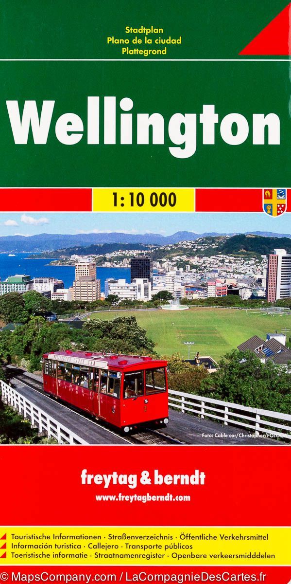
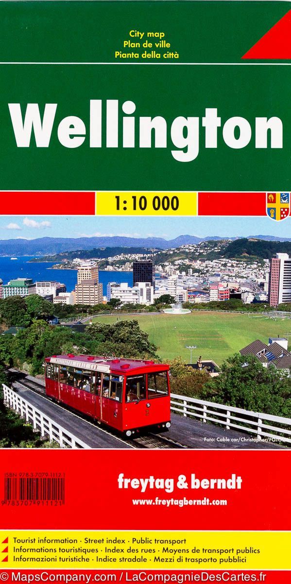
Street map of the Wellington metropolitan area, including Johnsonville, Hutt Valley, Porirua and Kapiti Coast, with enlargements for town centres and the Picton ferry terminal, as well as a complete street index.
The main map covers the entire area at 1:35,000, showing the names of the various suburbs and clearly indicating the main traffic routes.
One-way streets, car parks, railway lines with stations, ferry terminals, public buildings, etc. are marked. The 1:15,000 enlargement shows central Wellington in greater detail. Also included are enlargements, at various scales, of the Picton ferry terminal and the centres of Johnsonville, Lower Hutt, Upper Hutt, Porirua, Pukerua Bay, Masterton with the UCOL Wairarapa campus, Waikanae, Paraparaumu, Kapiti Village, Levin and Otaki.
The maps show postal district boundaries and postcodes. An unusual feature of the map is a discreet circular-radius grid indicating the distance from central Wellington.