Travel Map - Paris City Map & Île-de-France / Normandy Regional Map | ITM

Price
Regular price £1200
Regular price Sale price £1200
/
  • Shipped within 24 to 48h from our warehouse in France
  • All-inclusive price: customs duties are already paid by Cartovia
  • Free returns (*)
  • Real-time stock levels
  • Cartovia Guarantee – Delivery issue?
    We resend immediately upon receiving a simple photo.
  • In stock, ready to ship
  • Backordered, shipping soon
Tax included.

Frequently bought together:

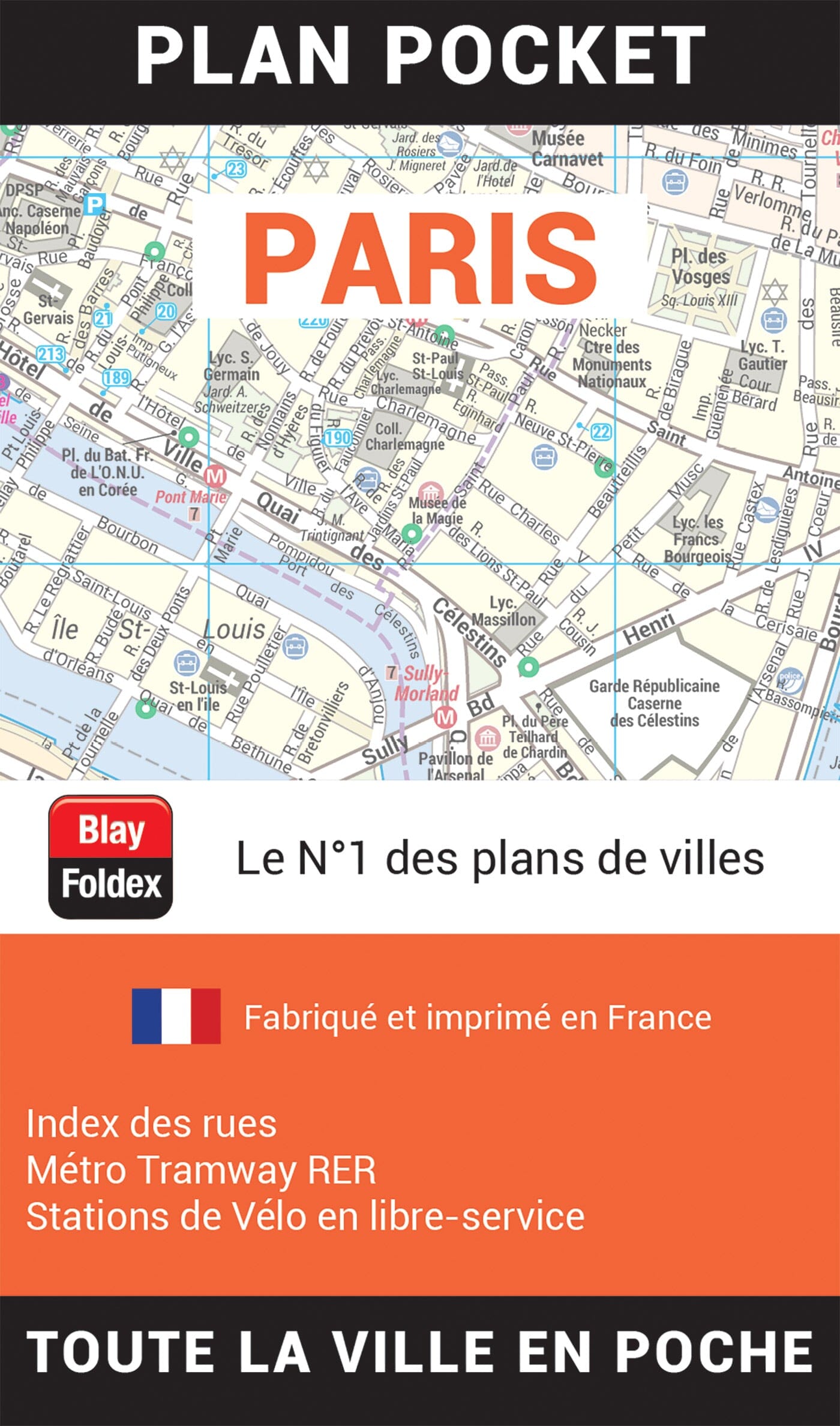
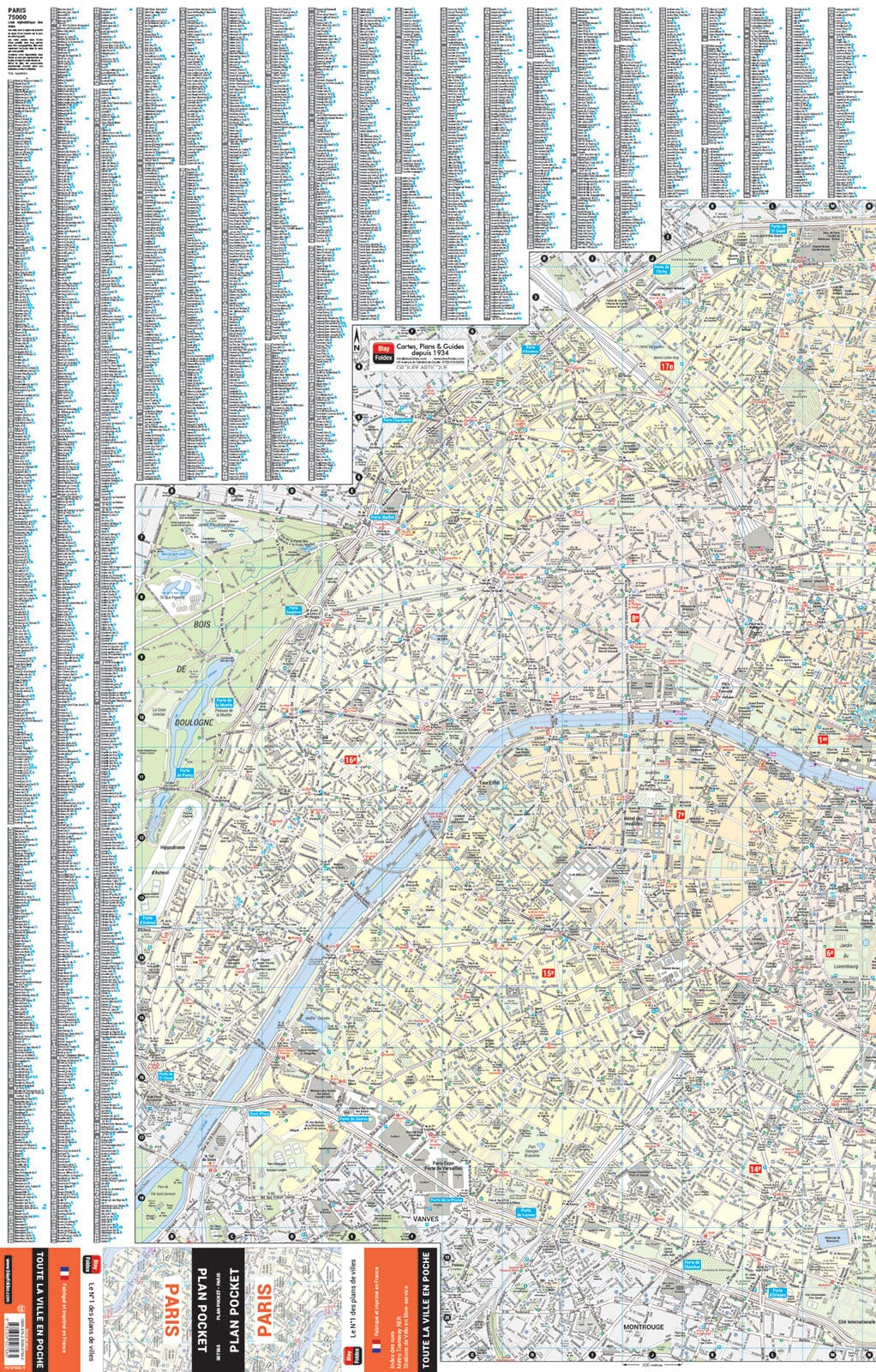
This double-sided map of Paris, Île-de-France and Normandy combines a detailed city map with a regional map.

The front shows Paris streets, metro and railway lines, major attractions, selected hotels, museums and public buildings, and pedestrian areas. The reverse covers Île-de-France, Normandy and nearby regions, including Rouen, Orléans, Reims, Blois, Chambord, Fontainebleau, Chartres and Senlis.


ISBN/EAN : 9781771296458
Publication date: 2026
Scale: 1:11,500 (1 cm = 115 m) & 1:500,000 (1 cm = 5 km)
Printed sides: both sides
Folded dimensions: 24.6 x 10.3 x 0.5cm
Unfolded dimensions: 69 x 100cm
Language(s): English
Weight: 60 g