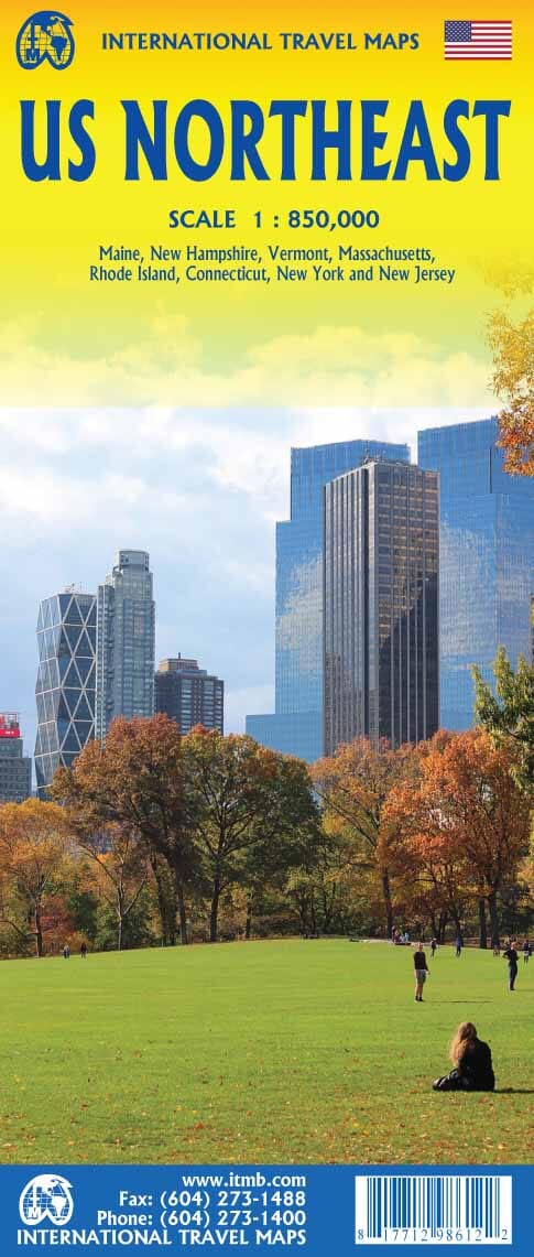
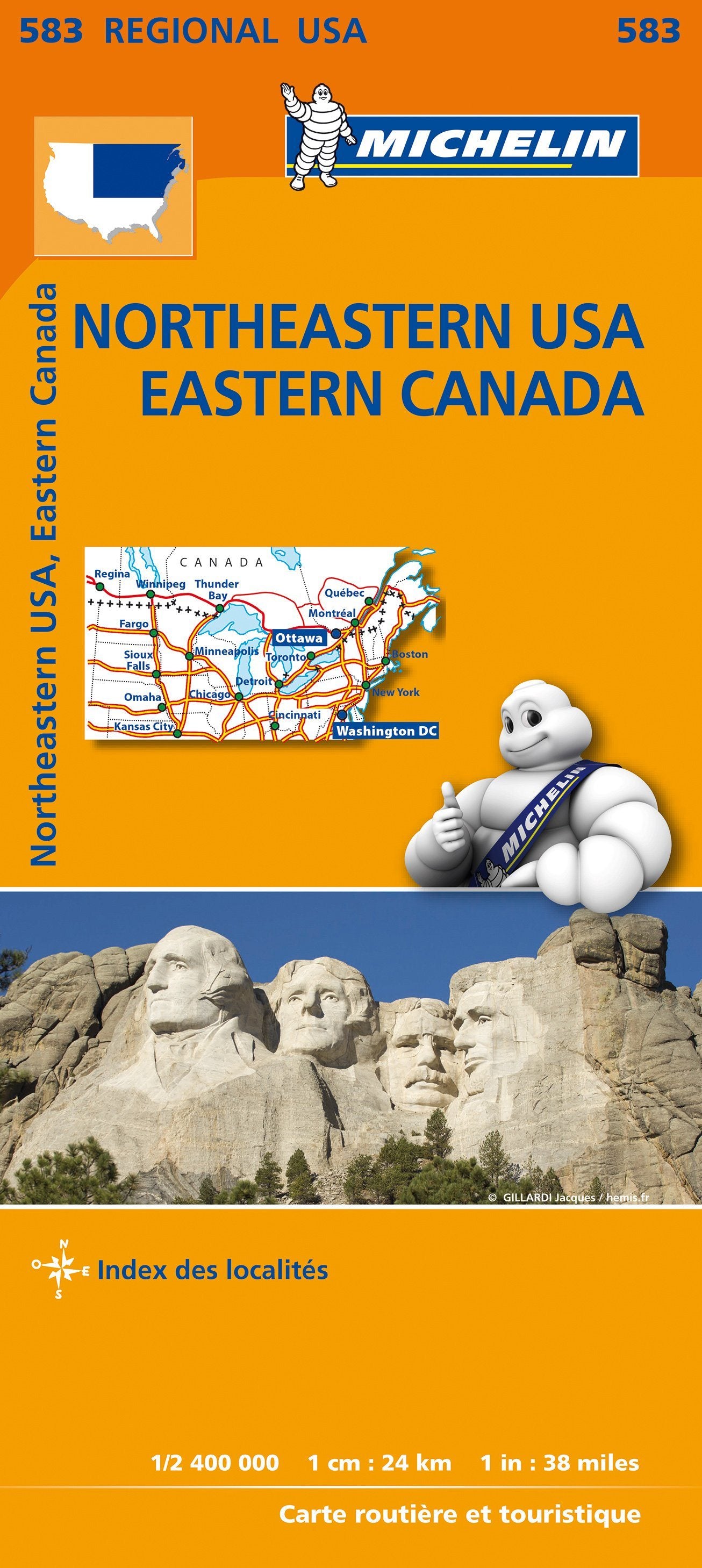
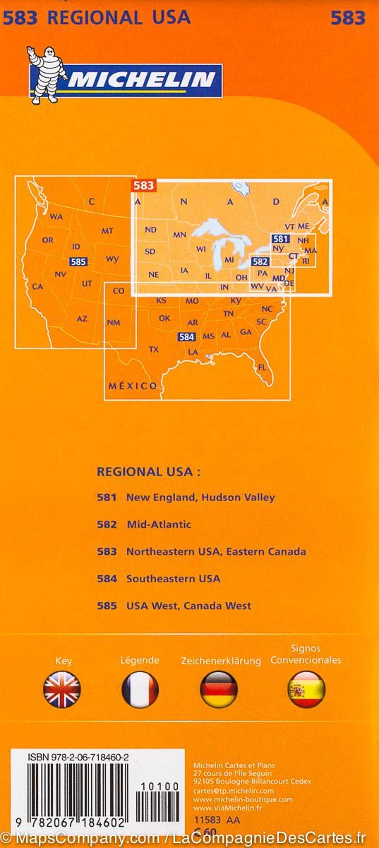
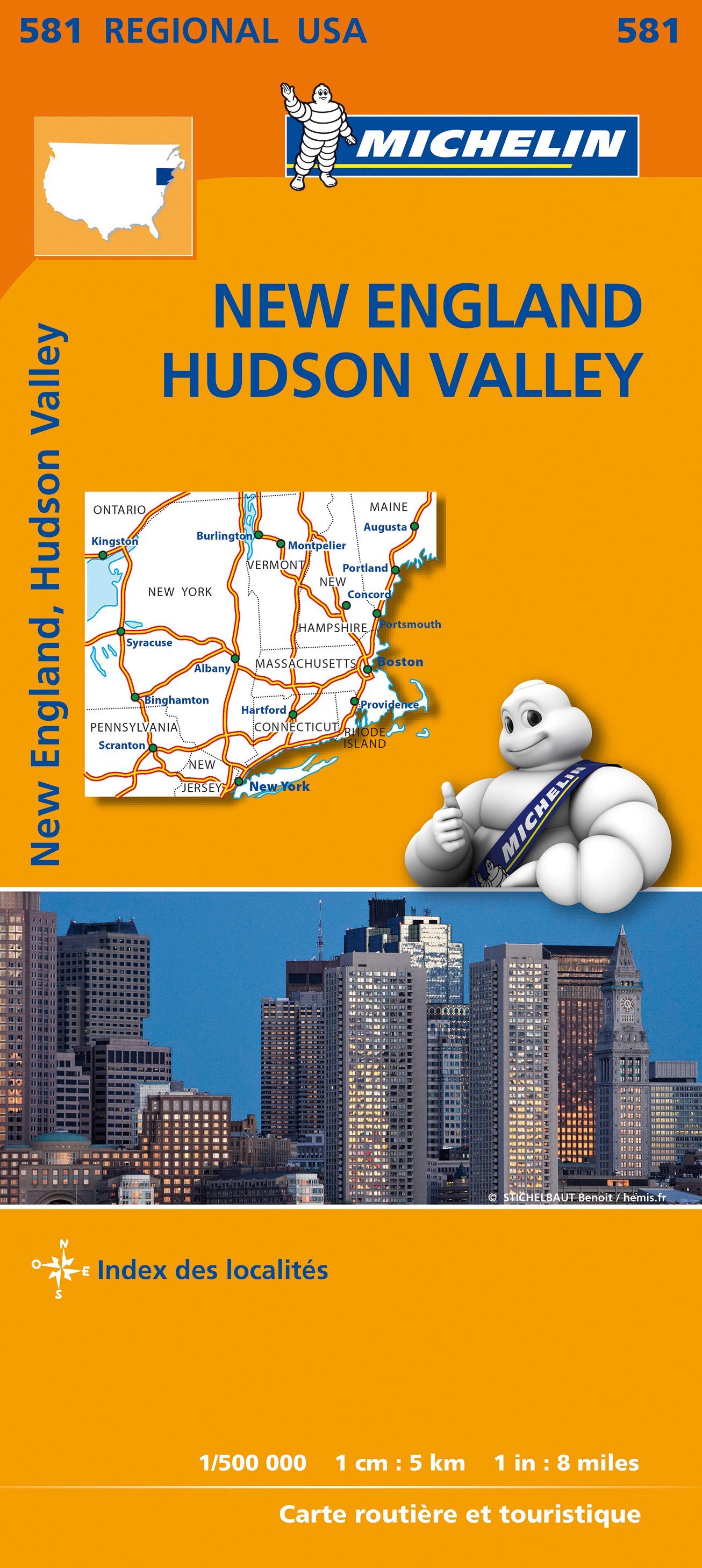
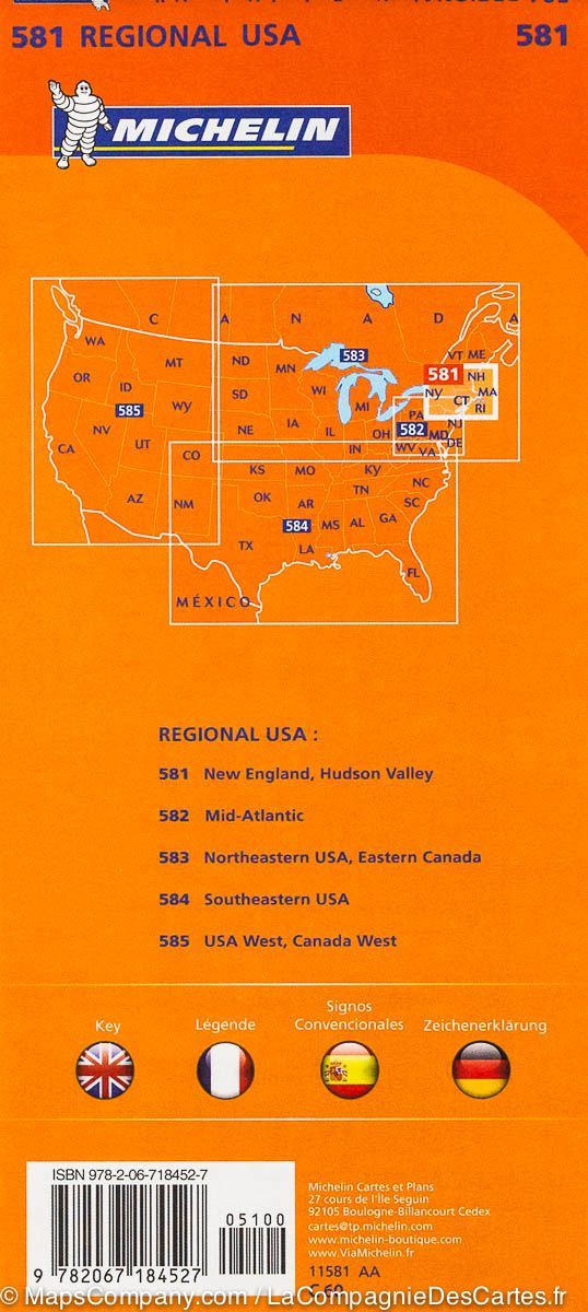
Includes bordering states, major cities and Canadian border regions
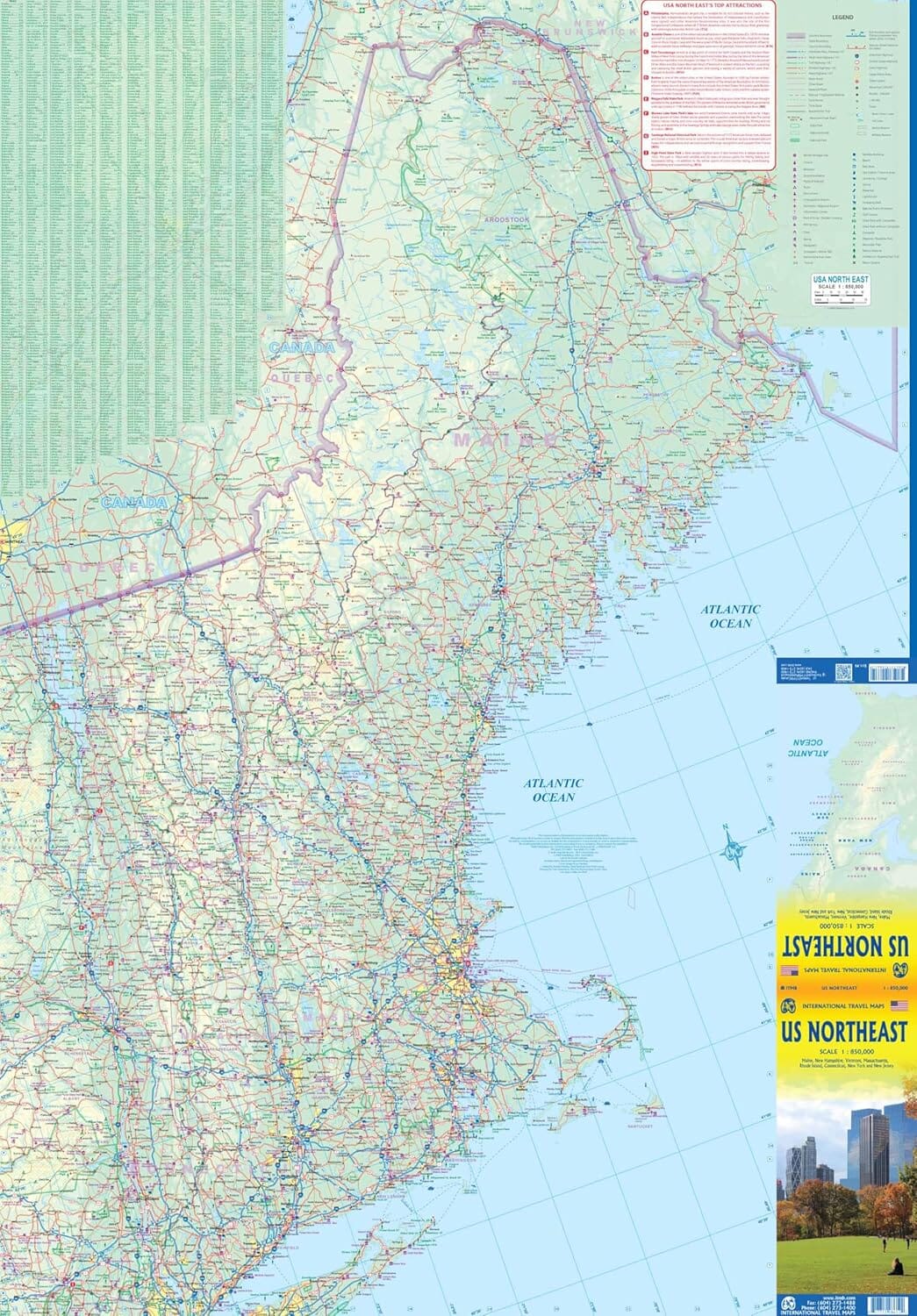
This map was originally designed to cover only New England, but its scope has been expanded to provide a much more comprehensive tool. Its layout covers a vast portion of the northeastern United States while also including the Canadian border regions, making it an ideal travel companion for travelers coming from Canada or landing in Boston or New York.
🧭 Map contents:
-
Front : Almost all of the New England states (Maine, Vermont, New Hampshire, Massachusetts, Rhode Island, Connecticut), plus New York City, Philadelphia, and much of New York State
-
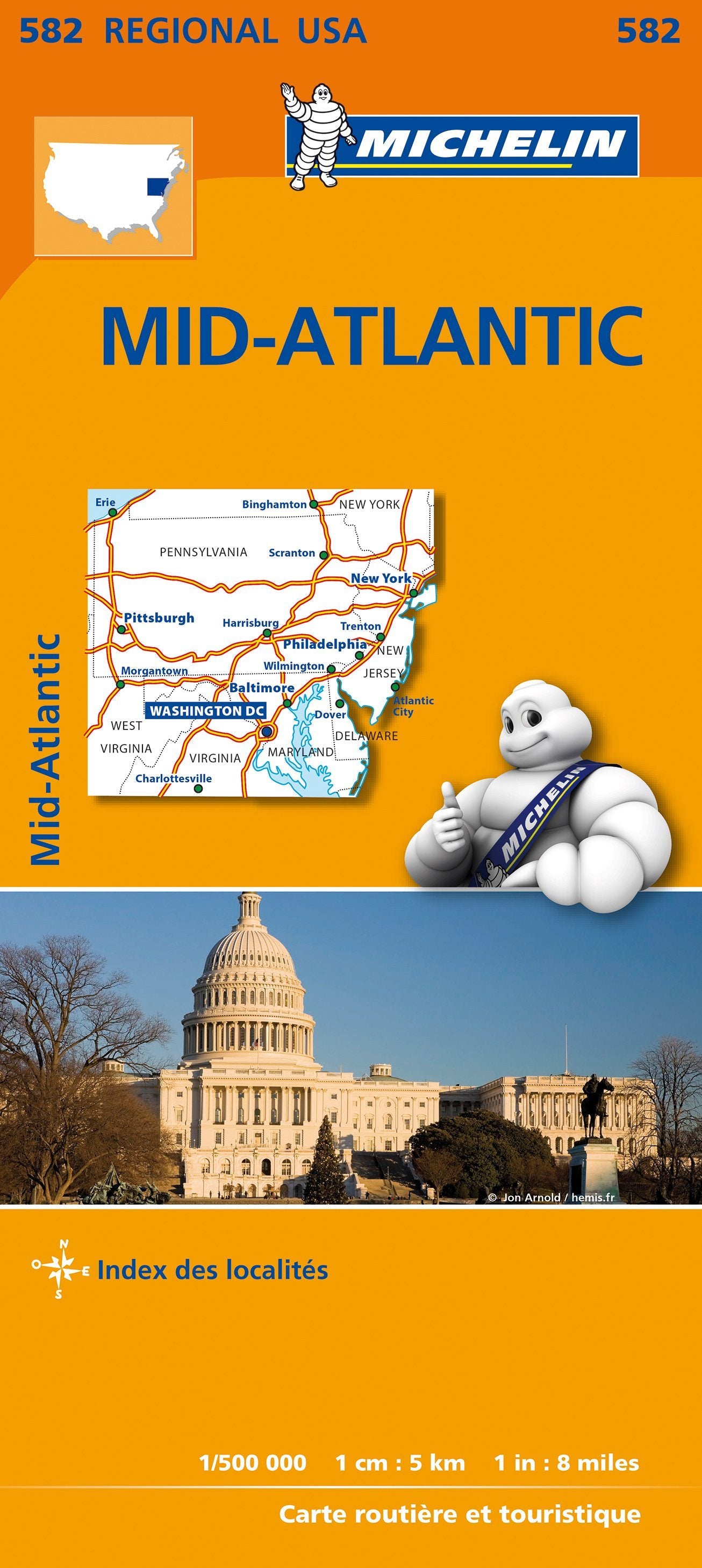
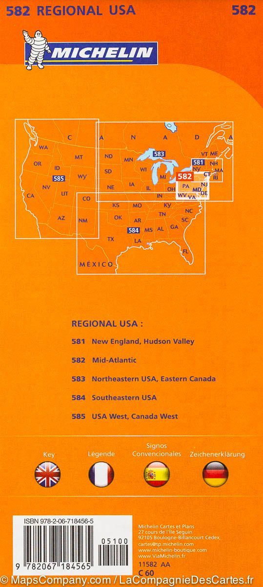
Back : The rest of New York State, but also New Jersey, Delaware, Maryland, Pennsylvania, as well as much of Ohio, West Virginia and northern Virginia
🏙️ Cities covered:
-
Detroit (upper left corner)
-
Albany (upper right corner)
-
Cincinnati (lower left corner)
-
Richmond (lower right corner)
🚗 What the map shows:
-
Interstate highways in blue, with all interchanges shown
-
Main and secondary roads to navigate between small and large towns
-
Places of tourist interest, parks, ski resorts, airports, train lines, battlefields, and universities
🎯 Why choose this map?
-
Perfect for travelers looking to cover multiple states without carrying multiple individual maps
-
Offers a regional overview, ideal for long-distance journeys
-
Convenient for departures from Canada, Boston or New York, with reliable and detailed information
-
Allows clear navigation in geographically compact but destination-rich states


