TOP 75 Map No. 38 - Ile de Ré, Ile d'Oléron, Poitevin Marsh | IGN

Price
Regular price £900
Regular price Sale price £900
/
  • Shipped within 24 to 48h from our warehouse in France
  • All-inclusive price: customs duties are already paid by Cartovia
  • Free returns (*)
  • Real-time stock levels
  • Cartovia Guarantee – Delivery issue?
    We resend immediately upon receiving a simple photo.
  • In stock, ready to ship
  • Backordered, shipping soon
Tax included.

Frequently bought together:

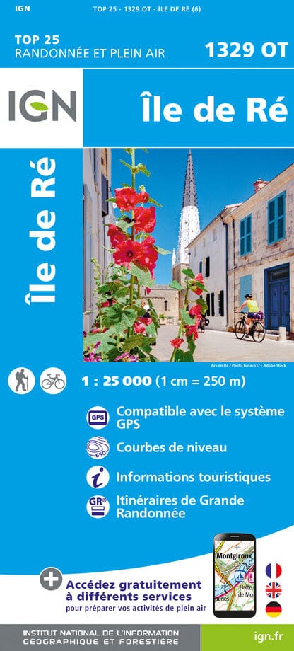
Top 75 Topographic map of the island of Ré, the island of Oléron and the Marais Poitevin published by IGN. Scale 1/75 000 (1 cm = 750 m). This detailed map covers the area around Rochefort and La Rochelle. Level curves, detailed legend, tourist information, outdoor activities and indication of hiking trails. Index of cities. This map includes 5 zooms at 1/25,000 scale to discover exceptional hikes. GPS compatible


ISBN/EAN : 9782758532729
Publication date: 2015
Scale: 1/75,000 (1 cm = 750 m) & 1/25,000 (1 cm = 250 m)
Printed sides: front
Folded dimensions: 24.6 x 11.2 x 0.7cm
Unfolded dimensions: 110x100cm
Language(s): French, English, German
Weight: 89 g