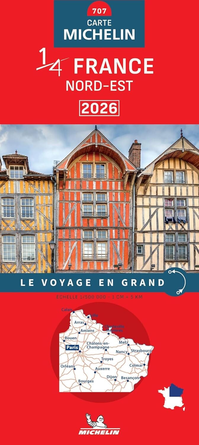
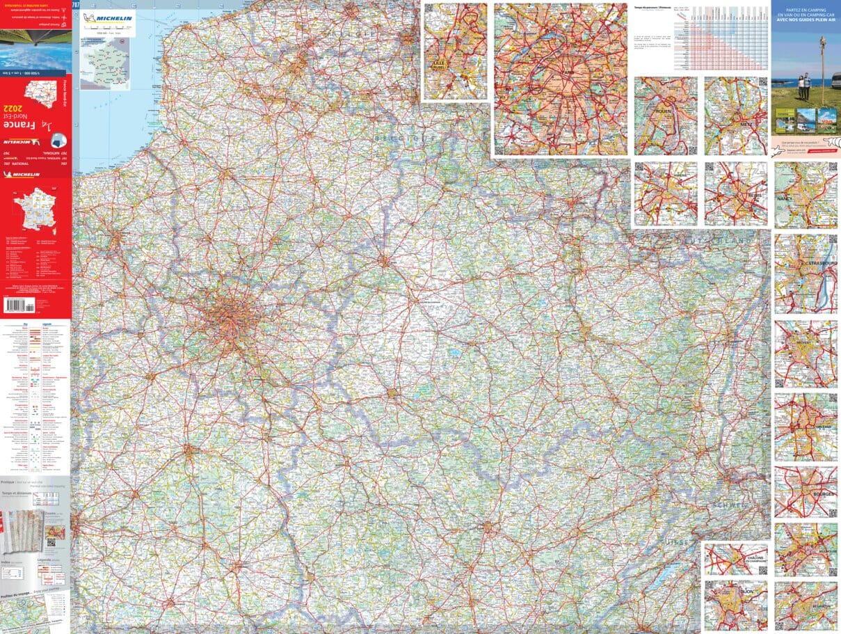
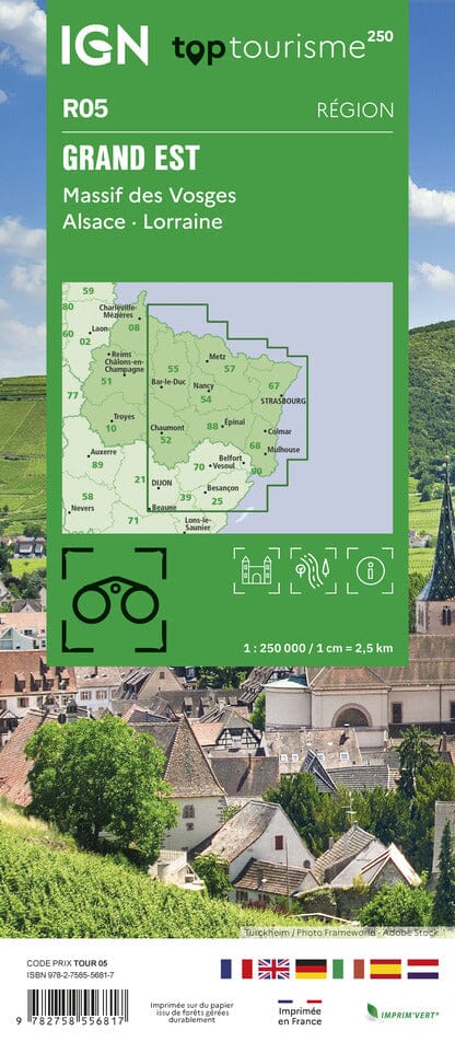
The essential hiking map! These highly accurate topographic maps contain all the details existing on the ground: communication routes down to the smallest path, buildings down to the shed, woods, isolated trees, rivers, springs... Not forgetting the representation of the relief by contour lines.
Municipalities covered: Bar-sur-Seine, Loches-sur-Ource, Éguilly-sous-Bois, Marolles-lès-Bailly, Courtenot, Virey-sous-Bar, Chauffour-lès-Bailly, Montiéramey, Mesnil-Saint-Père, Proverville, Bergères, Bligny, Spoy, Meurville, Montmartin-le-Haut, Fravaux, Urville, Couvignon, Argançon, Poligny, Magny-Fouchard
Places to discover: Orient Forest, Bossican Forest, Fiel State Forest, Notre-Dame du Chêne, Roman Bridge, St-Bernard


